Premium Only Content

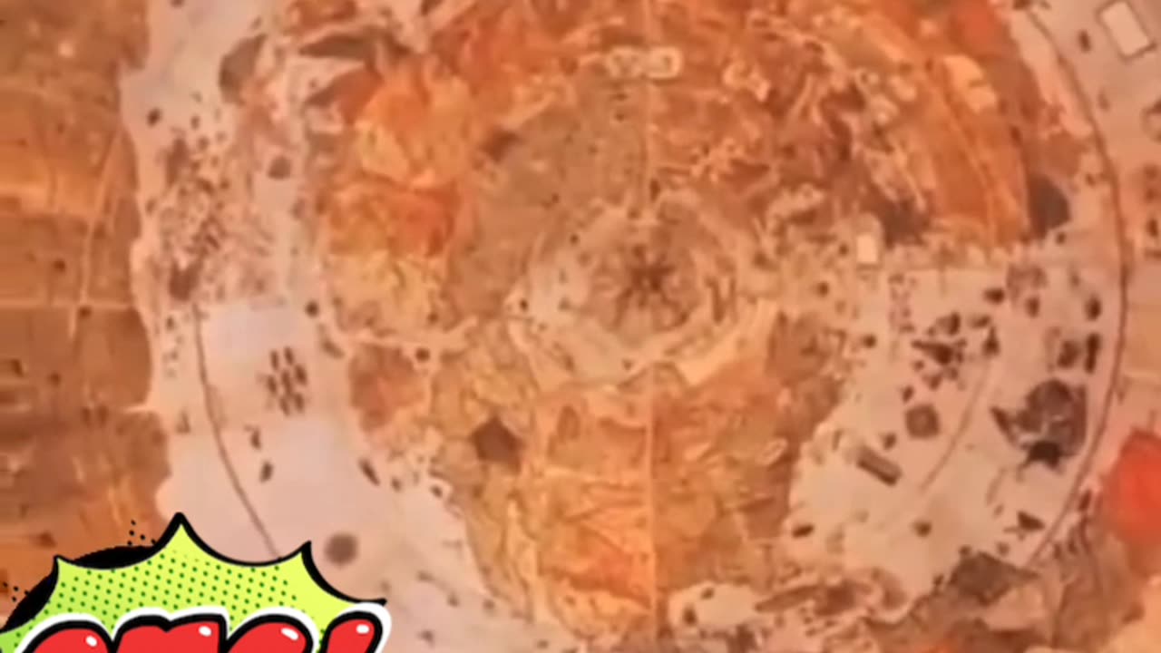
Mystery map world 1587
The "Mystery Map" of 1587 typically refers to the Map of the Arctic attributed to Zeno brothers (Nicolo and Antonio Zeno). It's considered mysterious because it depicts lands and islands in the North Atlantic that some scholars argue may not have existed or been accurately represented. Here’s a brief description:
The 1587 Mystery Map, attributed to the Zeno brothers, illustrates a complex network of islands and coastlines primarily in the North Atlantic region. It includes places such as Frisland (thought to be the Faroe Islands or Iceland), Estotiland (possibly Newfoundland), and Drogeo (possibly Greenland). These regions are depicted with varying degrees of accuracy and have sparked debate among historians and cartographers regarding their actual existence or the accuracy of their depiction on the map. The map's historical significance lies in its influence on early European exploration and its role in shaping perceptions of the North Atlantic region during the Age of Discovery.
-
 4:31
4:31
CoachTY
23 hours ago $27.59 earnedCOINBASE AND DESCI !!!!
130K11 -
 10:02
10:02
MichaelBisping
22 hours agoBISPING: "Was FURY ROBBED?!" | Oleksandr Usyk vs Tyson Fury 2 INSTANT REACTION
76.8K13 -
 8:08
8:08
Guns & Gadgets 2nd Amendment News
2 days ago16 States Join Forces To Sue Firearm Manufacturers Out of Business - 1st Target = GLOCK
97.5K86 -
 10:17
10:17
Dermatologist Dr. Dustin Portela
2 days ago $18.00 earnedOlay Cleansing Melts: Dermatologist's Honest Review
137K14 -
 1:02:20
Trumpet Daily
2 days ago $44.35 earnedObama’s Fake World Comes Crashing Down - Trumpet Daily | Dec. 20, 2024
99.9K61 -
 6:29
6:29
BIG NEM
1 day agoCultivating God Mode: Ancient Taoist NoFap Practices
73.5K20 -
 30:53
30:53
Uncommon Sense In Current Times
2 days ago $11.24 earned"Pardon or Peril? How Biden’s Clemency Actions Could Backfire"
86.6K7 -
 40:01
40:01
CarlCrusher
1 day agoSkinwalker Encounters in the Haunted Canyons of Magic Mesa - ep 4
77.1K10 -
 59:44
59:44
PMG
2 days ago $10.65 earned"BETRAYAL - Johnson's New Spending Bill EXPANDS COVID Plandemic Powers"
78.3K49 -
 6:48:50
Akademiks
1 day agoKendrick Lamar and SZA disses Drake and BIG AK? HOLD UP! Diddy, Durk, JayZ update. Travis Hunter RUN
198K35