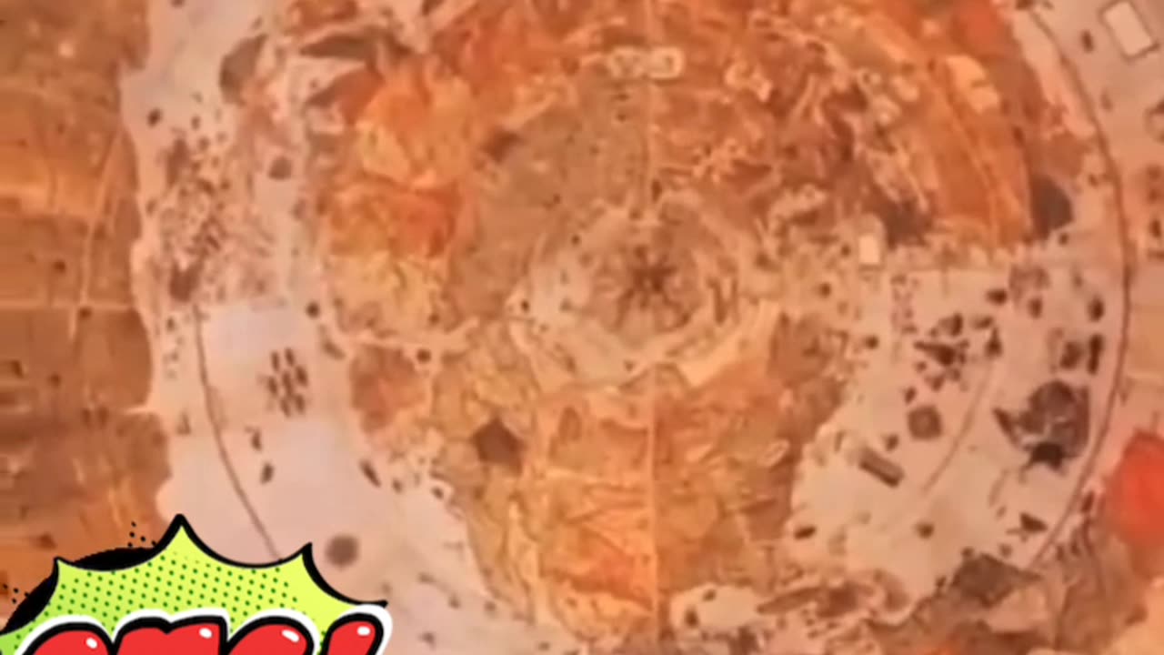
Mystery map world 1587
The "Mystery Map" of 1587 typically refers to the Map of the Arctic attributed to Zeno brothers (Nicolo and Antonio Zeno). It's considered mysterious because it depicts lands and islands in the North Atlantic that some scholars argue may not have existed or been accurately represented. Here’s a brief description:
The 1587 Mystery Map, attributed to the Zeno brothers, illustrates a complex network of islands and coastlines primarily in the North Atlantic region. It includes places such as Frisland (thought to be the Faroe Islands or Iceland), Estotiland (possibly Newfoundland), and Drogeo (possibly Greenland). These regions are depicted with varying degrees of accuracy and have sparked debate among historians and cartographers regarding their actual existence or the accuracy of their depiction on the map. The map's historical significance lies in its influence on early European exploration and its role in shaping perceptions of the North Atlantic region during the Age of Discovery.
-
 13:19
13:19
Josh Pate's College Football Show
3 hours agoThe SEC has COLLAPSED!! Updated CFP Picture with Josh Pate
54 -
 45:59
45:59
PMG
18 hours ago"Hannah Faulkner and Sabrina Cardone | Empowering the Next Generation"
1971 -
 1:19:57
Awaken With JP
7 hours agoThanksgiving for America Special - LIES Ep 67
83.6K25 -
 3:58
3:58
Blackstone Griddles
1 day agoLeftover Turkey with White Country Gravy
27.8K3 -
 42:19
42:19
Lights, Camera, Barstool
10 hours agoDoes 'Glicked' Meet The Hype? 'Gladiator II' And 'Wicked' Reviews
27.6K2 -
 1:28:03
MTNTOUGH Fitness Lab
3 hours agoRandy Newberg's Shot of a Lifetime: The Intense 5-Second Window for a Trophy Ram | MTNT POD #91
13.5K2 -
 1:02:44
World Nomac
10 hours agoThe side of Las Vegas they don't want you to know about
10.7K -
 1:56:32
TheSaf3Hav3n
4 hours ago| CALL OF DUTY: BLACK OPS 6 - NUKETOWN | GET IN HERE!! | #RumbleTakeOver |
16.8K -
 LIVE
LIVE
MissesMaam
7 hours agoMY FAVORITE ARTIST IS FINALLY IN FORTNITE 💚✨
79 watching -
 2:02:34
The Quartering
5 hours agoTrump Tariffs Immediately Work, Thanksgiving Cost Insanity, Hollywood Actor In Psych Ward From Trump
82.2K32