NBC26 Storm Shield weather forecast
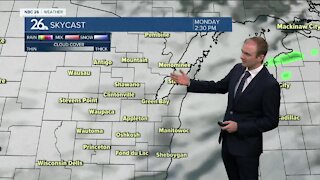
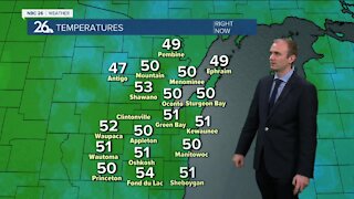
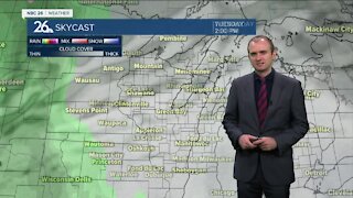
After a wet, windy & chilly weekend with highs only in the 40s.......some sunshine allowed temps to warm back up into the 60s on Monday. High pressure will control our weather overnight with fair skies & some patch frost. On Tuesday we can expect increasing/thickening clouds throughout the day. There will be just a slight chance of a shower sw of the Fox Cities during the afternoon. As an area of low pressure moves towards the state Tuesday night our chances of rain & thunderstorms will go up!! A lingering shower/storm is possible Wednesday morning before we break into some sunshine by the afternoon. Temps will warm into the 60s & 70s......with the warmest weather SW of Lake Winnebago. Thursday look warm & mostly sunny with high in the 70s. Showers & storms return on Friday.
-
 1:45
1:45
WGBA
7 months agoFond du Lac Cardinals start the football season with a new $5.3 million nest
63 -
 3:20
3:20
WGBA
2 years agoGino Recchia NBC26 Weather Forecast
11 -
 3:27
3:27
WGBA
2 years agoGino Recchia NBC26 Weather Forecast
2 -
 3:54
3:54
WGBA
2 years agoGino Recchia NBC26 Weather Forecast
5 -
 3:06
3:06
WGBA
2 years agoGino Recchia NBC26 Weather Forecast
1 -
 3:18
3:18
WGBA
2 years agoGino Recchia NBC26 Weather Forecast
7 -
 3:00
3:00
WGBA
2 years agoGino Recchia NBC26 Weather Forecast
4 -
 3:57
3:57
WGBA
2 years agoGino Recchia NBC26 Weather Forecast
5 -
 3:52
3:52
WGBA
2 years agoGino Recchia NBC26 Weather Forecast
10 -
 3:33
3:33
WGBA
2 years agoGino Recchia NBC26 Weather Forecast
2