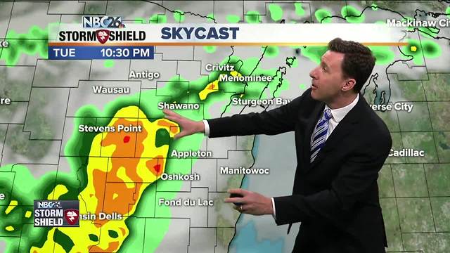
Michael Fish's NBC26 Storm Shield weather forecast
Today will be a windy and warm day with a slight chance of a stray afternoon T'storm as a weak cool front approaches. If you live right next to Lake Michigan shoreline, it may be a bit be cooler at times there. With the low humidity levels and breezy winds out of the southwest between 10 and 20 mph, there is a heightened fire danger across the area. That cool front will be passing through tonight bringing some showers and T'storms to the area. The early evening may be okay, but as the night goes on these should be moving in from the west. The fact that it will be passing as the night cools a little, should keep our severe weather threat down a bit. The Storm Prediction Center has a marginal risk for the western portion of our area meaning if you do see a T'storm, there's the possibility of having some strong wind gusts or hail. Lows will be in the upper-50s. We're going to have to see where a stationary front sets up going through Wednesday and Thursday to see exactly when some showers or T'storms could be rolling through again. Right now, it looks like there will be more chances of rain going through Wednesday and Thursday. It'll still be pretty warm both days with highs around 70. Things quiet down for Friday going into the weekend. The Wolf River near Shiocton, & New London remain under a flood warning for the time being with moderate flooding currently being observed. The last river level reading at the observation site in Shiocton was at 14.1 feet. The river level has been falling, but could rise again if enough rain falls over the next couple of days.
-
 1:57
1:57
WGBA
1 year agoHow the City of Green Bay is hoping a $1.6M investment will make the community safer for pedestrians
4472 -
 2:46
2:46
WGBA
4 years agoMichael Fish's NBC 26 weather forecast
5 -
 2:30
2:30
WGBA
4 years agoMichael Fish's NBC 26 weather forecast
5 -
 2:20
2:20
WGBA
4 years agoMichael Fish's NBC 26 weather forecast
14 -
 2:21
2:21
WGBA
4 years agoMichael Fish's NBC 26 weather forecast
6 -
 2:25
2:25
WGBA
4 years agoMichael Fish's NBC 26 weather forecast
4 -
 1:55
1:55
WGBA
4 years agoMichael Fish's NBC 26 weather forecast
10 -
 2:11
2:11
WGBA
4 years agoMichael Fish's NBC 26 weather forecast
4 -
 1:50
1:50
WGBA
4 years agoMichael Fish's NBC 26 weather forecast
3 -
 1:45
1:45
WGBA
4 years agoMichael Fish's NBC 26 weather forecast
7