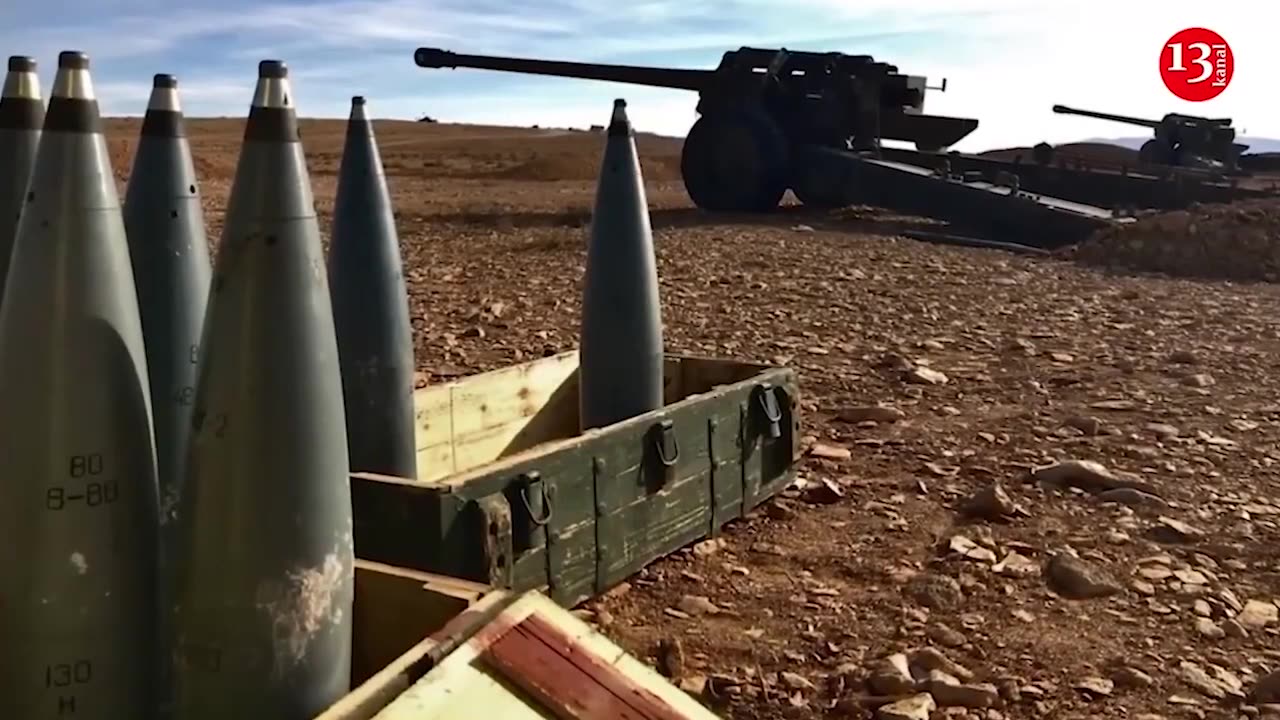
Russia using US satellite imagery for missile strikes on Ukraine
When conducting air strikes against Ukraine, Russia may be relying on satellite photos provided by U.S. companies, The Atlantic reported, citing an unnamed Ukrainian defense official.
According to the source, commercial satellites take images of a specific site in Ukraine, and days or weeks later, Russian missiles hit the location. At times, another satellite then captures additional images, possibly to assess the damage.
The source said that a review of logs of customers requesting images of certain strategic assets in Ukraine suggests a certain pattern. For instance, they told the journalists that in the week leading up to April 2, 2022, U.S. orbital imaging companies processed a request for photos of a remote airstrip near Myrhorod, Poltava Oblast, at least nine times. On April 2, the airstrip was hit by Russian missiles, and the following week, someone requested images of the airstrip again.
Just before March 26, 2022, someone ordered a satellite to survey a Lviv factory used for military armor production, which was subsequently attacked.
More recently, in late January 2024, a commercial satellite company was tasked to take fresh images of Kyiv right before the city suffered a major missile attack.
“The number of coincidences, where the images are followed by strikes, is too high to be random,” the official said.
Ukrainian Deputy Defense Minister Kateryna Chernohorenko suggested that Russia “purchases satellite images through intermediaries” that do business with Western satellite firms.
The article also mentions that Maxar and Planet, two of the largest commercial providers of satellite images in the United States, captured photos of Ukrainian sites that were later targeted by Russian missiles.
Although the companies maintain they carefully vet their clients and have not cooperated with Russia since the start of the war in February 2022, Andrey Liscovich, head of a U.S. nonprofit providing nonlethal assistance to Ukraine, is skeptical about the companies’ claims of controlling the end-use of their satellite images.
“They lack the necessary resources to adequately screen the final recipients of their products,” Liskovych said.
-
 LIVE
LIVE
Lofi Girl
2 years agoSynthwave Radio 🌌 - beats to chill/game to
586 watching -
 5:52:00
Akademiks
10 hours agoWAR IN ATLANTA Episode 5. YOUNG THUG FIRST INTERVIEW about SNITCHING, GUNNA... BREAKS DOWN CRYING!
160K8 -
 7:30:25
SpartakusLIVE
14 hours agoVerdansk Duos w/ Nicky || Saturday Spartoons - Variety Later?!
59.2K1 -
 1:38:47
Badlands Media
1 day agoDevolution Power Hour Ep. 387: Trump, Epstein, Durham Mysteries, and North Korea Ops
98.9K26 -
 1:05:23
Man in America
18 hours agoSoaring Gold Exposes the Imminent Crash of the Old System w/ John Perez
56.3K10 -
 2:42:40
TruthStream with Joe and Scott
18 hours agoTHOMAS AND GROK: AI, Bible decodes, The JESUS Cube live 9/6 #487
44.7K10 -
 2:34:46
BlackDiamondGunsandGear
12 hours agoGet Prepped / After Hours Armory / LIVE SHOW /
29.5K2 -
 2:01:39
Tundra Tactical
11 hours ago $11.04 earned🛑LIVE NOW!! This spits in the face of the Second Amendment.🛑
37.5K8 -
 2:34:46
DLDAfterDark
10 hours ago $4.63 earnedIt's SHTF! Do You Have What You Need?? Let's Review Items & Priorities
26.5K6 -
 28:58
28:58
Stephen Gardner
11 hours ago🚨Explosive allegations: Rosie O’Donnell connects Trump to Epstein scandal!?
43.7K84