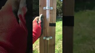
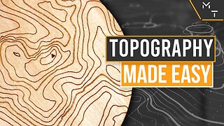
How to read contour lines
Reading contour lines on a topographic map is essential for understanding the shape and elevation of the terrain. Here's how to interpret contour lines
Looking to buy or sell go here ---- https://beacons.ai/jamesbigley_realestate
Start your real estate search here:
https://jamesbigleyranches.com/media/
Contact me: jbigley@f4tf.com
Schedule a 15-minute no-obligation call with me:
https://calendly.com/jbigley/15min
Subscribe for all of your San Antonio Real Estate updates
https://www.youtube.com/channel/UCjhZxf35iKo8B-qTvK6hQOg?sub_confirmation=1
To Follow:
https://www.facebook.com/realtythemav...
https://www.instagram.com/maverickran...
https://www.tiktok.com/@jamesbigleyra...
James Bigley
#topography #realestateagent #ranch #buyingland #jamesbigleyranches #ranchforsale #Texas #landforsale #homestead
-
 1:28
1:28
Permaculture with Pierre Duranleau
5 months agoWater Level for Mapping Out Contour Lines on the Land
33 -
 0:57
0:57
Permaculture with Pierre Duranleau
5 months ago#Short Water Level For Mapping Out Contour Lines
17 -
 13:16
13:16
Maker Tales
3 years agoQuick & Easy Topographic / Contour Vector Maps For Laser Cutting | How to | Tutorial
9 -
 0:34
0:34
rickgildemontes
6 years agoFace contour in a few steps.
15 -
 8:22
8:22
Whiteboardcoder
2 years agoRealtime Landscaping: Elevation/Contour lines
8 -
 16:37
16:37
4Crawler
1 year agoOff-Line Hill Shade Maps: How To, Part 1
6 -
 10:25
10:25
4Crawler
1 year ago $0.01 earnedStevens Creek Landslide Lake Level Visualization
3 -
 1:16
1:16
AutoCAD and BricsCAD add ons for surveyors and engineers
7 months agoAutoLisp source code for the intersection of 2 3DFACE and contour lines
42 -
 5:25
5:25
4Crawler
1 year agoOff-Line Hill Shade Maps: How To, Part 2
44 -
 0:52
0:52
PENNTOOLCO
1 year agoBest Contour Gage