NBC26 Storm Shield Weather Forecast
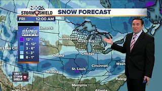
Jimmy the Groundhog saw his shadow Friday morning & that means 6 more weeks of winter is on the way!! A weak system will be approaching the area as we head into Friday night. This will bring us some patchy light snow or flurries with a dusting possible. We will accumulating snow as we head through Saturday. It will start from the northwest and overspread the rest of the area during the morning. Right now, it looks like about 2-4" by the end of the day. Highs will top out in the 20s. This snow continues, then shifts a little farther south as the night goes on Saturday night, then Lake Michigan starts getting involved as the winds turn NE. It looks like through the night, another 1-2" will fall with possibly some higher totals near Lake Michigan. It'll be breezy with lows around 10°. After some lingering light lake effect snow Sunday morning......most of Sunday afternoon looks dry with highs in the mid-teens. Snow totals will be in the 3-6", with higher amounts possible right next to Lake Michigan. For many of us.....this will be the biggest snowfall since Mid-December!! Monday looks cool, but dry, with highs in the mid-teens. The cold weather sticks around for most of the upcoming workweek.
-
 3:43
3:43
WGBA
5 years agoNBC26 Storm Shield weather forecast
-
 3:34
3:34
WGBA
5 years agoNBC26 Storm Shield weather forecast
-
 2:16
2:16
Mohibbanchannels
4 months agoThundersnow Storm
251 -
 14:17
14:17
Great Lakes Weather
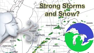
8 months agoStrong Thunderstorms Possible in Michigan Tomorrow; Snow In the Forecast -Great Lakes Weather
18 -
 5:19:01
Great Lakes Weather
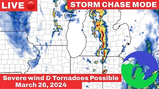
3 months ago $1.37 earnedLive Storm Chasing- Damaging Winds Possible in Michigan
10.8K1 -
 16:17
16:17
Great Lakes Weather
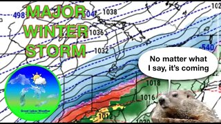
2 years agoMAJOR WINTER STORM This Week; Snow Totals, Impacts, and More -Great Lakes Weather
5 -
 10:34
10:34
Great Lakes Weather
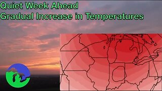
10 months agoThunderstorms Tuesday; Quiet Pattern Ahead with Gradual Warming Trend -Great Lakes Weather
4 -
 0:14
0:14
Shelisa45
3 years ago $0.09 earnedSnow Storm Coming
577 -
 26:33
26:33
WeathermanPlus
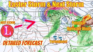
2 years agoEaster Snowstorm Detailed Forecast, Tornadoes, Major Snowfall & Potential Hurricane Winds!
23 -
 27:44
27:44
Legend813
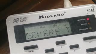
1 year agoSevere Thunderstorm Warning NOAA Weather Radio Laporte Indiana Sunday June 20 2021
351