Michael Fish's NBC26 Storm Shield weather forecast
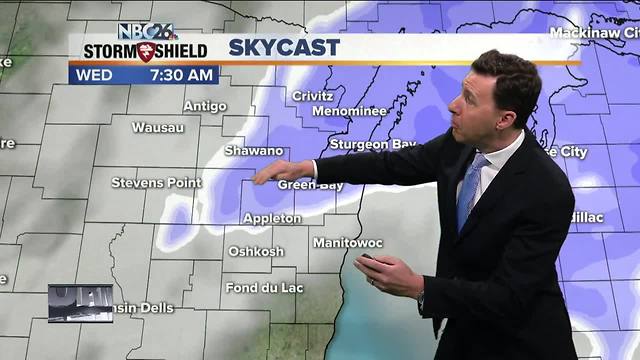
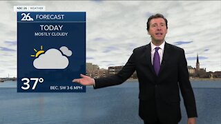
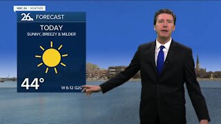
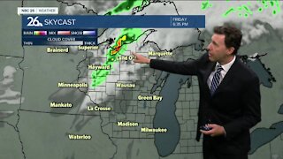
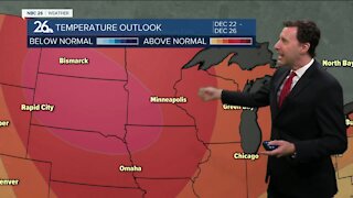
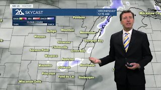
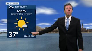
A quick-moving batch of snow will move out as the morning wears on. It will bring some light accumulation especially the farther north you live where 1-2" could fall, but there will be less. Right now it looks like along and north of Highway 29 looks to see the best shot at that 1-2". Once this ends, the sun will be coming out, then we'll be doing some melting as temps will be popping up to around 40 with blustery conditions. A strong cold front will be sweeping through tonight, but it doesn't have that much moisture to work with. We may see a couple flurries or a snow shower later, but any accumulation would be light if anything at all. The arctic air moves right back in with lows back into the upper-single digits. Thursday will be blustery and much colder than Wednesday. Highs will only top out around 10 with wind chills below zero. Thursday night, our temps actually go into the single-digits below zero again with blustery conditions. Friday still looks cold, but with a little less wind. Highs will only be in the low-teens. There looks to be a better chance of some accumulating snow late Friday night going into Saturday with a few inches possible at this time. We also hang onto this cold for the next 7 days as well.
-
 0:30
0:30
WGBA
1 year agoThree Degree Guarantee
369 -
 2:35
2:35
WGBA
4 years agoMichael Fish's NBC 26 weather forecast
2 -
 2:05
2:05
WGBA
4 years agoMichael Fish's NBC 26 weather forecast
4 -
 2:00
2:00
WGBA
4 years agoMichael Fish's NBC 26 weather forecast
5 -
 2:30
2:30
WGBA
4 years agoMichael Fish's NBC 26 weather forecast
2 -
 2:23
2:23
WGBA
4 years agoMichael Fish's NBC 26 weather forecast
4 -
 2:46
2:46
WGBA
4 years agoMichael Fish's NBC 26 weather forecast
1 -
 2:23
2:23
WGBA
4 years agoMichael Fish's NBC 26 weather forecast
1 -
 2:08
2:08
WGBA
4 years agoMichael Fish's NBC 26 weather forecast
3 -
 1:49
1:49
WGBA
4 years agoMichael Fish's NBC 26 weather forecast
1