
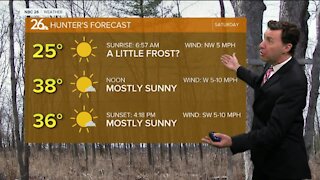
Michael Fish's NBC26 Storm Shield weather forecast
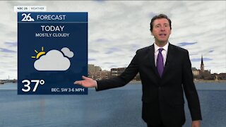
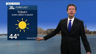
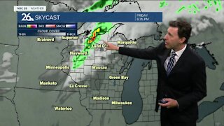
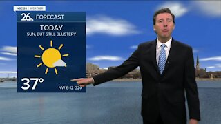
We have a more classic "Panhandle Hook"-type storm system rolling through the area today. It all depends on where you live as to what type of precipitation you'll see. The farther you live to the south, the more of this will stay in the liquid form, meaning rain and drizzle. The farther you live to the north, the more of a wintry mix and snow you'll see out of this. Either way, there's probably going to be a pretty sharp cutoff line on where the higher snow totals will be, and where things will be mostly rain and drizzle. Well off to the north, 3-7" are possible by the end of the day. To the south, not much of any accumulation. In a situation like this, a couple degrees in temperature could make a big difference. Highs today will be in the mid- to upper-30s south, with near-freezing temps to the north. Tonight, we'll have what's called the "dry slot" working its way through, which will give us a little bit of a lull in the mixed precipitation, but on the backside of this, scattered snow showers will redevelop later tonight. There could be another Tr.-2" of snow with the higher totals north. This would bring event totals from only Tr-2" south of Highway 29, to 6-10" well off to the north. In the middle, you'll have about 2-4". Again, a few degrees could make a difference. Overnight lows will be in the mid-20s. Tuesday, we'll probably start with some scattered snow showers in the morning with some minor accumulation possible. Those will end, then the sun will start to peek out. It'll be blustery with highs in the low-30s. Tuesday night will be colder, but dry with lows around 10. Wednesday looks quiet with highs in the mid-20s. We'll warm things up into the 40s again by the end of the week, the way it looks right now.
-
 1:45
1:45
WGBA
1 year agoFond du Lac Cardinals start the football season with a new $5.3 million nest
389 -
 2:35
2:35
WGBA
4 years agoMichael Fish's NBC 26 weather forecast
2 -
 2:05
2:05
WGBA
4 years agoMichael Fish's NBC 26 weather forecast
4 -
 2:00
2:00
WGBA
4 years agoMichael Fish's NBC 26 weather forecast
5 -
 2:46
2:46
WGBA
4 years agoMichael Fish's NBC 26 weather forecast
1 -
 2:23
2:23
WGBA
4 years agoMichael Fish's NBC 26 weather forecast
1 -
 2:08
2:08
WGBA
4 years agoMichael Fish's NBC 26 weather forecast
3 -
 1:49
1:49
WGBA
4 years agoMichael Fish's NBC 26 weather forecast
1 -
 2:15
2:15
WGBA
4 years agoMichael Fish's NBC 26 weather forecast
10 -
 2:28
2:28
WGBA
4 years agoMichael Fish's NBC 26 weather forecast
2