Michael Fish's NBC26 weather forecast
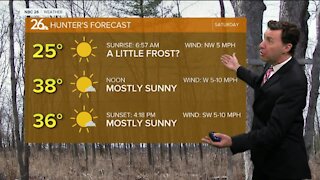
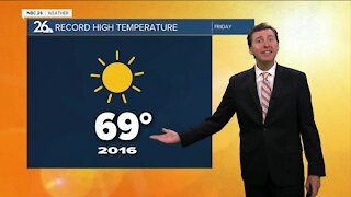
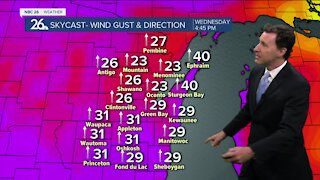
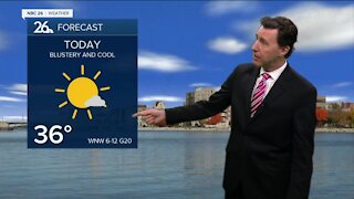
A weak disturbance is moving out today, and with it, it's going to bring more and more sunshine to the area today. It will be a little cool, but dry. Highs will top out in the low-40s. Mostly clear, but cool conditions will prevail for tonight. Lows will bottom out in the low-20s. Wednesday looks mostly sunny and quiet during the day with highs in the low-40s. There will be a chance of a few flurries or a little light snow Wednesday night as a strong frontal boundary approaches the area. As of right now, if there was any accumulation, it would light. Right now it only looks like a trace-1", with the higher totals farther to the north. Lows will bottom out in the mid-20s. Get ready for a blustery and cold Thursday behind the front. The sun will be coming out, but the temperatures are going to be falling as we head through the afternoon. Basically, you'll feel quite a chill out there. Highs will only top out in the low-30s before falling through the afternoon. Friday looks quiet before the next system gets here on Saturday. Saturday, some folks should see some snow, while others may start mixing in rain. Either way, some accumulation is possible, but it's much too early to be putting any sort of numbers on this system.
-
 1:45
1:45
WGBA
1 year agoStudents excited to start at "huge and beautiful" Vel Phillips Middle School
305 -
 2:28
2:28
WGBA
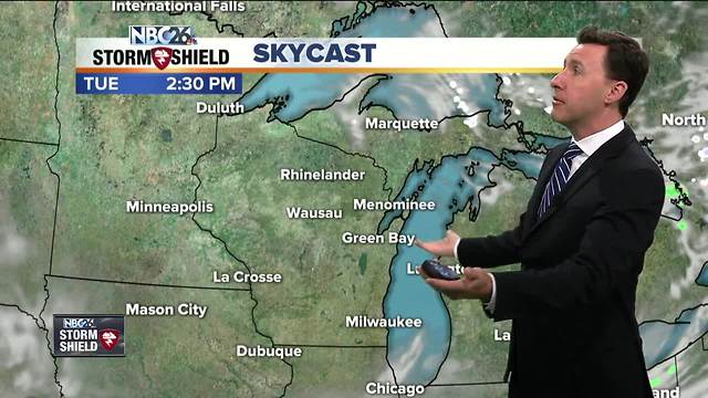
4 years agoMichael Fish's NBC 26 weather forecast
2 -
 2:47
2:47
WGBA
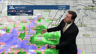
4 years agoMichael Fish's NBC 26 weather forecast
5 -
 2:08
2:08
WGBA
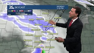
4 years agoMichael Fish's NBC 26 weather forecast
7 -
 2:42
2:42
WGBA
4 years agoMichael Fish's NBC 26 weather forecast
3 -
 2:40
2:40
WGBA
4 years agoMichael Fish's NBC 26 weather forecast
4 -
 2:33
2:33
WGBA
4 years agoMichael Fish's NBC 26 weather forecast
2 -
 2:42
2:42
WGBA
4 years agoMichael Fish's NBC 26 weather forecast
4 -
 2:13
2:13
WGBA
4 years agoMichael Fish's NBC 26 weather forecast
3 -
 2:43
2:43
WGBA
4 years agoMichael Fish's NBC 26 weather forecast
2