Michael Fish's NBC26 weather forecast
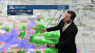
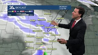
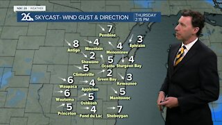
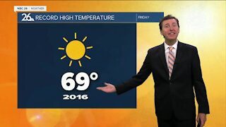
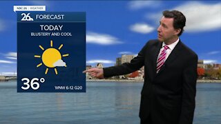
The daytime hours today look quiet before the next area of low pressure arrives with skies becoming sunny to partly cloudy skies. Highs will top out in the lower- to mid-40s. Tonight, that area of low pressure will be approaching the area, giving us the chance of some rain or snow mix late, but all snow develops to the north. In fact....far Northern Oconto & Northern Marinette counties and Langlade counties will pick up 1-2" of snow by morning. Because of this, a ***WINTER WEATHER ADVISORY WILL GO INTO EFFECT AT 9PM TONIGHT UNTIL 9AM SATURDAY FOR LANGLADE AND NORTHERN MARINETTE COUNTIES.*** Lows will bottom out in the low- to mid-30s, then slowly rise overnight. Occasional rain will be the story for Saturday, but to the north, you'll start the day with some snow with another Tr.-1" falling across the north. Event totals to the north will add up to 1-3", before changing over to occasional rain. The forecast may tweaked a bit as this system approaches. Highs will rise into the mid-40s. For the most part, there will be a lull as we head into Saturday night with a stray shower or two still possible. Lows will only bottom out around 40. Milder temperatures and some rain showers come back into the forecast for Sunday with highs in the lower-50s. If there's a stray rumble of thunder in the afternoon, don't be surprised. Cooler, but quieter weather looks to prevail for a lot of this upcoming workweek.
-
 1:45
1:45
WGBA
1 year agoStudents excited to start at "huge and beautiful" Vel Phillips Middle School
209 -
 2:28
2:28
WGBA
3 years agoMichael Fish's NBC 26 weather forecast
2 -
 2:47
2:47
WGBA
3 years agoMichael Fish's NBC 26 weather forecast
5 -
 2:08
2:08
WGBA
3 years agoMichael Fish's NBC 26 weather forecast
7 -
 2:42
2:42
WGBA
3 years agoMichael Fish's NBC 26 weather forecast
3 -
 2:40
2:40
WGBA
3 years agoMichael Fish's NBC 26 weather forecast
4 -
 2:33
2:33
WGBA
3 years agoMichael Fish's NBC 26 weather forecast
2 -
 2:42
2:42
WGBA
3 years agoMichael Fish's NBC 26 weather forecast
4 -
 2:13
2:13
WGBA
3 years agoMichael Fish's NBC 26 weather forecast
3 -
 2:43
2:43
WGBA
3 years agoMichael Fish's NBC 26 weather forecast
2