NASA ARSET: Detecting and Monitoring Floods with SAR, Part 3/3
SAR for Detecting and Monitoring Floods, Sea Ice, and Subsidence from Groundwater Extraction
Part 3: Detecting and Monitoring Floods with SAR
Trainers: Erika Podest (JPL)
Guest Speakers: Franz Meyer (Alaska Satellite Facility/University of Alaska, Fairbanks)
Floods are becoming more prevalent and intense. Monitoring these events, their extent, evolution, and impacts can be difficult with optical remote sensing data because cloud cover tends to be prevalent during floods. SAR can penetrate through the clouds and detect inundation regardless of day/night conditions. Information on the dynamic nature of these events can help inform disaster response and recovery efforts. This session will provide a summary of the theory of SAR for detecting floods followed by a demo using Jupyter Notebook and ASF tools to show how to generate flood maps with time series Sentinel-1 data to monitor the increase/decrease of flood waters.
You can access all training materials from this webinar series on the training webpage: https://go.nasa.gov/3PwmgAs
This training was created by NASA's Applied Remote Sensing Training Program (ARSET). ARSET is a part of NASA's Applied Science's Capacity Building Program. Learn more about ARSET: https://appliedsciences.nasa.gov/what...
-
 1:22:08
NASA
7 months agoNASA ARSET: Spectral Indices for Land and Aquatic Applications, Part 2/3
2 -
 1:19:07
NASA
7 months agoNASA ARSET: Spectral Indices for Land and Aquatic Applications, Part 1/3
4 -
 3:11
3:11
AI Reporter
9 months agoAi and remote sensing
11 -
 1:20:12
Cosmosboy
1 year agoNASA ARSET: Monitoring Aquatic Vegetation with Remote Sensing, Part 3/3
28 -
 0:48
0:48
KGUN
1 year agoRainfall map with 150 sensors will alert you on flood waters
1 -
 3:41
3:41
Reuters Innovation
1 year agoThis NASA satellite monitors Earth's water from space
8.46K1 -
 2:08
2:08
Last World News Channel
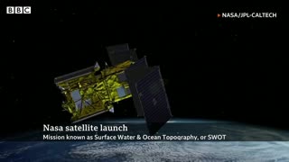
1 year agoNasa launches Swot satellite for ‘unprecedented' view of Earth’s water
3 -
 2:18
2:18
Rumor has it
1 year agoNasa launches Swot satellite for ‘unprecedented' view of Earth’s water
4 -
 0:21
0:21
Reuters
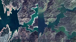
1 year agoSatellite images capture scale of California floods
1.48K5 -
 1:03
1:03
KERO
1 year agoWater researchers studying soil in areas hit by drought with meteorologists, weather stations
10