NASA ARSET: Measuring Surface Subsidence due to Groundwater Extraction with InSAR, Part 2/3
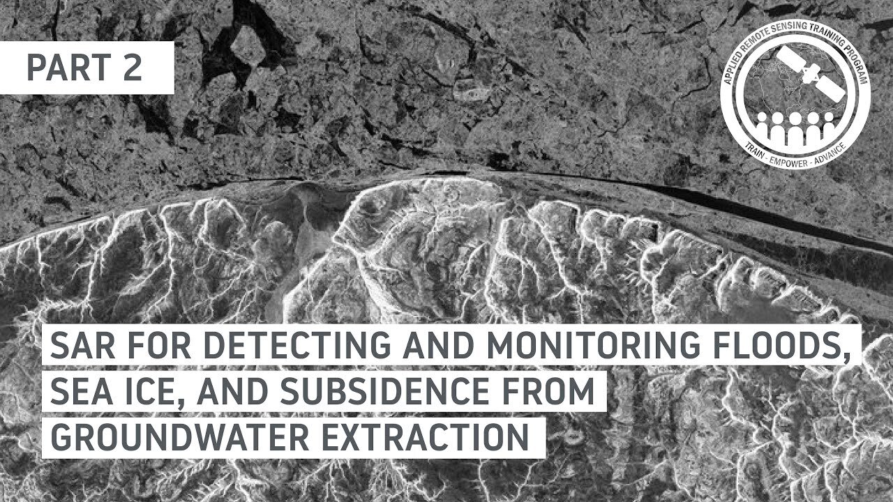
SAR for Detecting and Monitoring Floods, Sea Ice, and Subsidence from Groundwater Extraction
Part 2: Measuring Surface Subsidence due to Groundwater Extraction with InSAR
Trainers: Erika Podest (JPL)
Guest Speakers: Eric Fielding (JPL)
Groundwater-related subsidence of land results from groundwater extraction and extreme subsidence from rapid unsustainable extraction often results in major damage to local infrastructure or urban areas where buildings interact with the settlement, and cause cracking, tilting, and other major damage. Monitoring land subsidence through time on the order of centimeters with the use of interferometric synthetic aperture radar (InSAR) can help inform authorities on the surface effects of extraction of groundwater and its potential impact on infrastructure, and help to distinguish unsustainable groundwater extraction from recoverable variations of groundwater levels. This session will provide a summary of InSAR and will focus on how to work with pre-processed interferograms with Jupyter Notebooks and Sentinel-1 data to measure land surface subsidence due to groundwater extraction.
You can access all training materials from this webinar series on the training webpage: https://go.nasa.gov/3PwmgAs
This training was created by NASA's Applied Remote Sensing Training Program (ARSET). ARSET is a part of NASA's Applied Science's Capacity Building Program. Learn more about ARSET:
-
 LIVE
LIVE
Outspoken with Dr. Naomi Wolf
1 hour ago"Deceptive Polls, ‘No Kings’ After Action Report, Antifa Targets Journalists"
109 watching -
 1:02:10
VINCE
4 hours agoThe Process Is The Punishment, John Brennan Edition | Episode 152 - 10/22/25
158K148 -
 LIVE
LIVE
LFA TV
14 hours agoLIVE & BREAKING NEWS! | WEDNESDAY 10/22/25
3,947 watching -
 LIVE
LIVE
Side Scrollers Podcast
2 days ago🔴FIRST EVER RUMBLE SUB-A-THON🔴DAY 3🔴100% REVENUE HELPS CHANGE CULTURE!
1,308 watching -
 LIVE
LIVE
Viss
3 hours ago🔴LIVE - Viss & Dr Disrespect: PUBG 1 Win Minimum & BF 6 Kills Challenge!
83 watching -
 1:40:28
Caleb Hammer
4 hours agoI (almost) Gave Up.. | Financial Audit
11.1K -
 1:01:20
The Big Mig™
3 hours agoEx CIA Director Brennan Indictment Inbound
13.5K14 -
 1:36:22
Graham Allen
4 hours agoDems Won’t Stop CALLING FOR VIOLENCE!! + Harry Sisson DESTROYED On LIVE TV!!
95.5K34 -
 2:05:25
Badlands Media
11 hours agoBadlands Daily: October 22, 2025
43.5K17 -
 2:59:13
Wendy Bell Radio
7 hours agoKing Of The Trolls
100K101