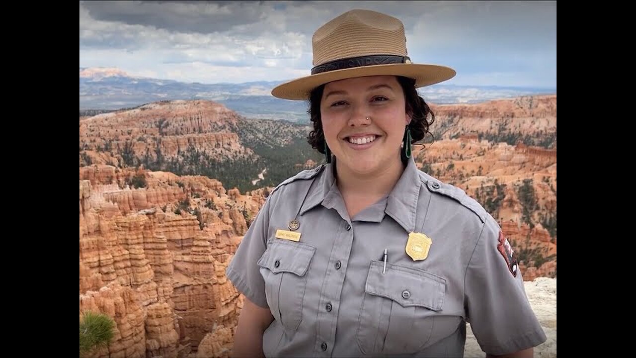
Seeing Satellite Benefits on the Ground with the National Park Service
2 years ago
7
From the hoodoos in Bryce Canyon to the caves of Carlsbad Caverns and the giant sequoias of Yosemite, did you know researchers use NASA satellite data in National Parks?
Our view from space can help monitor water resources, assess air quality, analyze fire patterns, track vegetation changes, and more. It all helps the National Park Service make informed decisions for protecting and restoring America’s most beautiful natural spaces.
Loading comments...
-
 13:54
13:54
Degenerate Jay
12 hours ago $0.91 earned5 Best Superhero Movies To Watch On Halloween
11.1K2 -
 59:03
59:03
NAG Podcast
5 hours agoSarah Fields: BOLDTALK W/Angela Belcamino
17.7K5 -
 1:21:41
Glenn Greenwald
8 hours agoGlenn Takes Your Questions: On the Argentina Bailout, Money in Politics, and More | SYSTEM UPDATE #541
76.8K38 -
 3:10:08
Barry Cunningham
5 hours agoPRESIDENT TRUMP TO USE NUCLEAR OPTION? FOOD STAMPS END! | SHUTDOWN DAY 31
45.2K30 -
 1:06:56
BonginoReport
13 hours agoThe Battle Between Good & Evil w/ Demonologist Rick Hansen - Hayley Caronia (Ep.168)
97.9K32 -
 1:12:57
Kim Iversen
8 hours agoBill Gates Suddenly Says “Don’t Worry About Climate Change”?
88.3K60 -
 1:05:12
Michael Franzese
8 hours agoI Waited 50 Years to Tell You What Happened on Halloween 1975
44K16 -
 1:07:15
Candace Show Podcast
8 hours agoINFILTRATION: Charlie Kirk Was Being Tracked For Years. | Candace Ep 256
90.7K346 -
 LIVE
LIVE
Rallied
7 hours ago $3.11 earnedWarzone Solo Challenges then RedSec Domination
216 watching -
 2:34:30
Red Pill News
9 hours agoBoomerang Time - DOJ Investigating BLM Fraud on Red Pill News Live
72.8K14