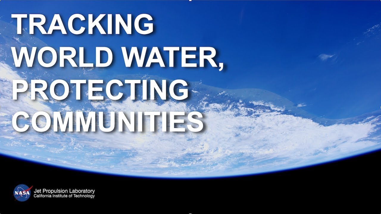
SWOT: Earth Science Satellite Will Help Communities Plan for a Better Future
God_Ozai
Flat earthers be like huh I didn’t see that it’s fake….
Up next
4:40
How NASA Satellites Help Model the Future of Climate
NASA Climate Change•8.5K views
3:28
The SWOT mission - UK Space Agency
UK Space Agency•1.5K views
1:47
Mars Sample Return: Bringing Mars Rock Samples Back to Earth
NASA Jet Propulsion Laboratory•498K views
5:53
NASA | Earth's Water Cycle
NASA Goddard•697K views
1:07:29
Kapil ने RJ Naved के साथ मिलकर किसे बनाया 'मुर्गा'? | The Kapil Sharma Show | Full Episode
LIV Comedy•4M views
6:01
NASA | The Ocean: A Driving Force for Weather and Climate
NASA Goddard•972K views
3:11
Curiosity Rover Finds New Clues to Mars’ Watery Past
NASA Jet Propulsion Laboratory•219K views
3:58
NASA’s InSight Lander Accomplishes Science Goals on Mars as Power Levels Diminish
NASA Jet Propulsion Laboratory•84K views
19:06
Surface Water and Ocean Topography (SWOT)
NASA Climate Change•1.5K views
3:11
AIRS: NASA Advances Our Understanding of Earth’s Climate
NASA Jet Propulsion Laboratory•14K views
6:11
NASA's Oceans Melting Greenland – Mission Complete
NASA Jet Propulsion Laboratory•124K views
9:46
What Happens When You Remove a Dam
The B1M•841K views
Description
SWOT: Earth Science Satellite Will Help Communities Plan for a Better Future
NASA Jet Propulsion Laboratory
467
Likes
44,614
Views
Oct 28
2022
A new Earth science mission, led by NASA and the French space agency Centre National d’Études Spatiales (CNES), will help communities plan for a better future by surveying the planet’s salt and freshwater bodies. The Surface Water and Ocean Topography (SWOT) mission will measure the height of water in lakes, rivers, reservoirs, and the oceans.
As climate change accelerates the water cycle, more communities around the world will be inundated with water while others won’t have enough. SWOT data will be used to improve flood forecasts and monitor drought conditions, providing essential information to water management agencies, civil engineers, universities, the U.S. Department of Defense, disaster preparedness agencies, and others who need to track water in their local areas. In this video, examples of how SWOT data will be used in these communities are shared by a National Weather Service representative in Oregon, an Alaska Department of Transportation engineer, researchers from the University of Oregon and University of North Carolina, a NASA Jet Propulsion Laboratory scientist working with the Department of Defense, and a JPL scientist working with the Louisiana Coastal Protection and Restoration Agency.
:30 - Flood Watches & Warnings - Portland, Oregon
1:08 - Water Management - Fern Ridge Lake, Oregon
2:05 - Protecting Infrastructure - Alaska
2:54 - National Security - Department of Defense
3:24 - Coastal Protection - Mississippi River Delta
SWOT is expected to launch from Vandenberg Space Force Base in California in December 2022.
The mission is a collaboration between NASA and CNES, with contributions from the Canadian Space Agency and UK Space Agency. JPL, which is managed for NASA by Caltech in Pasadena, California, leads the U.S. component of the project.
To learn more about the mission, visit: https://swot.jpl.nasa.gov/
Credit: NASA/JPL-Caltech/CNES/Thales Alenia Space
-
 1:43:13
vivafrei
5 hours agoLive with Journalist Susan Crabtree - Secret Service Debacle; Trump's Truth Post AND MORE!
116K33 -
 1:06:22
Candace Show Podcast
3 hours agoThe Epstein Files: Dead Men Tell No Tales | An Introduction
22.1K39 -
 LIVE
LIVE
LFA TV
21 hours agoLFA TV ALL DAY STREAM - WEDNESDAY 7/16/25
1,063 watching -
 LIVE
LIVE
freecastle
8 hours agoTAKE UP YOUR CROSS- MAKE ACCOUNTABILITY GREAT AGAIN!
160 watching -
 1:12:47
The Dr. Ardis Show
6 hours ago $3.59 earnedThe Dr. Ardis Show | Why They Want to Ban Nicotine Around the World | Episode 07.16.2025
6.21K7 -
 17:07
17:07
AndresRestart
2 days agoNintendo Is About To Go Absolutely Wild With Mario's 40th Anniversary!?
3.36K1 -
 1:50:16
The Quartering
4 hours agoIsrael BOMBS Syria, Trump FUMBLES Epstein Files Even Worse & Activist Judges Blown Out!
120K44 -
 31:38
31:38
The White House
3 hours agoPresident Trump Participates in a Bill Signing Ceremony, July 16, 2025
22.9K12 -
 1:12:31
The HotSeat
3 hours agoSomeone Take His Phone! "I Don't Want Their Support?"
13.7K9 -

Film Threat
21 hours agoTHE SUPERMAN PROBLEM | Hollywood on the Rocks
10.9K