What Is HAPPENING Here || FIFTY TV ||
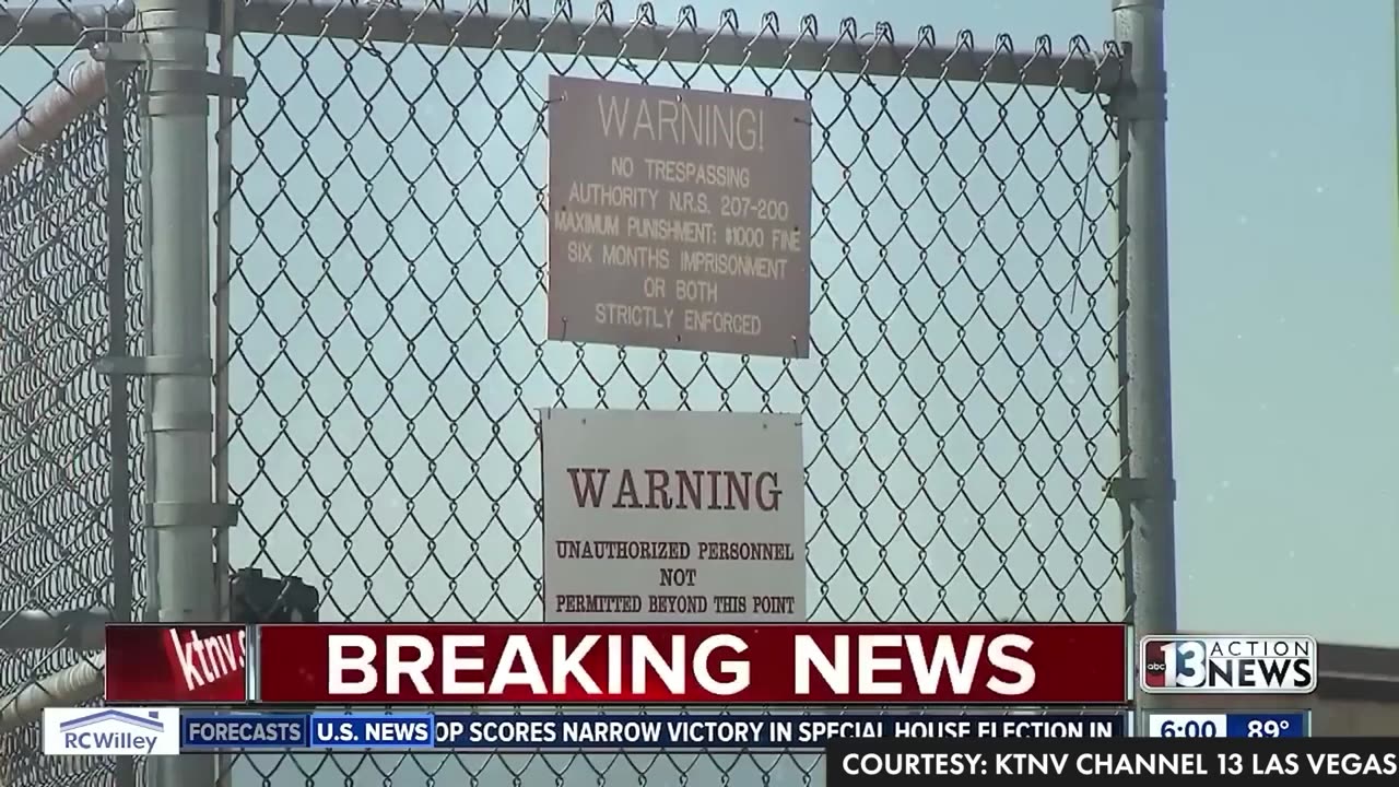
Area 51 is the common name of a highly classified United States Air Force (USAF) facility within the Nevada Test and Training Range. A remote detachment administered by Edwards Air Force Base, the facility is officially called Homey Airport (ICAO: KXTA, FAA LID: XTA) or Groom Lake (after the salt flat next to its airfield). Details of its operations are not made public, but the USAF says that it is an open training range, and it is commonly thought to support the development and testing of experimental aircraft and weapons systems. The USAF and CIA acquired the site in 1955, primarily for flight testing the Lockheed U-2 aircraft.
The intense secrecy surrounding the base has made it the frequent subject of conspiracy theories and a central component of unidentified flying object (UFO) folklore. It has never been declared a secret base, but all research and occurrences in Area 51 are Top Secret/Sensitive Compartmented Information (TS/SCI).[7] The CIA publicly acknowledged the base's existence on 25 June 2013, following a Freedom of Information Act (FOIA) request filed in 2005 and declassified documents detailing its history and purpose.
Area 51 is located in the southern portion of Nevada, 83 miles (134 km) north-northwest of Las Vegas. The surrounding area is a popular tourist destination, including the small town of Rachel on the "Extraterrestrial Highway".
The original rectangular base of 6 by 10 miles (10 by 16 km) is now part of the so-called "Groom box", a rectangular area, measuring 23 by 25 miles (37 by 40 km), of restricted airspace. The area is connected to the internal Nevada Test Site (NTS) road network, with paved roads leading south to Mercury and west to Yucca Flat. Leading northeast from the lake, the wide and well-maintained Groom Lake Road runs through a pass in the Jumbled Hills. The road formerly led to mines in the Groom basin but has been improved since their closure. Its winding course runs past a security checkpoint, but the restricted area around the base extends farther east. After leaving the restricted area, Groom Lake Road descends eastward to the floor of the Tikaboo Valley, passing the dirt-road entrances to several small ranches, before converging with State Route 375, the "Extraterrestrial Highway", south of Rachel.
Area 51 shares a border with the Yucca Flat region of the Nevada Test Site, the location of 739 of the 928 nuclear tests conducted by the United States Department of Energy at NTS. The Yucca Mountain nuclear waste repository is southwest of Groom Lake.
Groom Lake
Groom Lake is a salt flat in Nevada used for runways of the Nellis Bombing Range Test Site airport (XTA/KXTA) on the north of the Area 51 USAF military installation. The lake at 4,409 ft (1,344 m) elevation is approximately 3+3⁄4 mi (6 km) from north to south and 3 mi (5 km) from east to west at its widest point. Located within the namesake Groom Lake Valley portion of the Tonopah Basin, the lake is 25 mi (40 km) south of Rachel, Nevada.
Nevada Test Range topographic chart centered on Groom Lake
The origin of the name "Area 51" is unclear. It is believed to be from an Atomic Energy Commission (AEC) numbering grid, although Area 51 is not part of this system; it is adjacent to Area 15. Another explanation is that 51 was used because it was unlikely that the AEC would use the number.[17] According to the Central Intelligence Agency (CIA), the correct names for the facility are Homey Airport (XTA/KXTA) and Groom Lake,[18][19] though the name "Area 51" was used in a CIA document from the Vietnam War.[20] The facility has also been referred to as "Dreamland" and "Paradise Ranch",[21] among other nicknames, with the former also being the approach control call sign for the surrounding area. The USAF public relations has referred to the facility as "an operating location near Groom Dry Lake". The special use airspace around the field is referred to as Restricted Area 4808 North (R-4808N).
Lead and silver were discovered in the southern part of the Groom Range in 1864, and the English company Groome Lead Mines Limited financed the Conception Mines in the 1870s, giving the district its name (nearby mines included Maria, Willow, and White Lake). J. B. Osborne and partners acquired the controlling interest in Groom in 1876, and Osbourne's son acquired it in the 1890s. Mining continued until 1918, then resumed after World War II until the early 1950s.[26]
The airfield on the Groom Lake site began service in 1942 as Indian Springs Air Force Auxiliary Field and consisted of two unpaved 5,000-foot (1,524 m) runways
Area 51 has become a focus of modern conspiracy theories due to its secretive nature and connection to classified aircraft research. Theories include:
• The storage, examination, and reverse engineering of crashed alien spacecraft, including material supposedly recovered at Roswell, the study of their occupants, and the manufacture of aircraft based on alien technology
• Meetings or joint undertakings with extraterrestrials
• The development of exotic energy weapons for the Strategic Defense Initiative (SDI) or other weapons programs
• The development of weather control
• The development of time travel and teleportation technology
• The development of exotic propulsion systems related to the Aurora Program
• Activities related to a shadowy one-world government or the Majestic 12 organization
-
 1:10:44
Savanah Hernandez
11 hours agoThe GOP Sucks So Bad They Demoralized The Most Energetic Pro-America Fighter We Have
170K104 -
 3:03:55
TimcastIRL
10 hours agoFBI To Release Of EPSTEIN PRISON Tapes They Say PROVES He UNALIVED Himself | Timcast IRL
253K219 -
 2:49:00
Laura Loomer
10 hours agoEP124: They're Saving The Dogs! They're Saving The Cats!
58.8K24 -
 1:21:23
T-SPLY
9 hours agoDemocrat Mayor Of Nashville Caught Doxing Ice Agents!
54.4K15 -
 3:16:25
Barry Cunningham
12 hours agoPRESIDENT TRUMP: NOTHING CAN STOP WHAT IS COMING! ARE YOU READY?
115K80 -
 13:06
13:06
Colion Noir
12 hours agoOpen Carrier Killed With His Own Gun At Autozone | Open Carry Gone Wrong
84K93 -
 57:09
57:09
Kitco NEWS
16 hours agoFiat Collapse Ahead Gold to $8,900 in Global Monetary Shift
53.3K5 -
 16:46
16:46
Nick Shirley
18 hours ago $4.52 earnedAsking Democrats About the Joe Biden Cover Up Scam
45.9K32 -
 2:24:06
I_Came_With_Fire_Podcast
9 hours agoThe 2017 Las Vegas Shooting: Conspiracy, Critical Thinking, and Narratives
34.8K8 -
 9:44
9:44
Melonie Mac
17 hours agoTwitch is Cooked
31.7K27