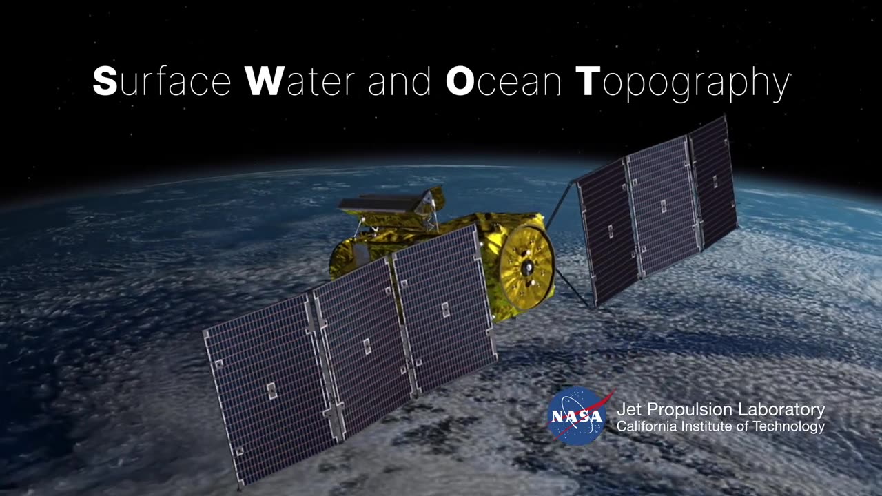
SWOT: Earth Science Satellite Will Help Communities Plan for a Better Future/ishaqshaid
The deployment of Earth science satellites presents a powerful tool for communities to plan for a better future, exemplified by a SWOT (Strengths, Weaknesses, Opportunities, Threats) analysis:
Strengths:
Global Coverage: Earth science satellites offer comprehensive global coverage, providing data on various environmental parameters, including climate, weather patterns, and natural disasters, benefiting communities worldwide.
Data Accuracy: These satellites deliver precise and real-time data, enhancing the accuracy of weather forecasts, disaster predictions, and climate modeling, enabling better-informed decision-making.
Long-Term Monitoring: Earth science satellites facilitate long-term monitoring of environmental changes, helping communities identify and respond to evolving challenges like sea-level rise and deforestation.
Resource Management: Communities can optimize resource management, such as agriculture and water resources, through satellite data-driven insights, enhancing sustainability and resilience.
Scientific Research: Satellite data supports scientific research, fostering innovations in climate science, geology, and ecology, ultimately benefitting communities through improved understanding.
Weaknesses:
Cost: Developing, launching, and maintaining Earth science satellites can be expensive, requiring substantial funding and resources.
Technological Challenges: Satellites face potential technical issues and malfunctions, leading to data gaps and operational disruptions.
Data Access: Some communities may lack the infrastructure or expertise to effectively access and interpret satellite data, limiting its utility.
Opportunities:
Disaster Preparedness: Earth science satellites enable early warning systems for natural disasters like hurricanes, earthquakes, and wildfires, allowing communities to prepare and evacuate in advance.
Climate Mitigation: Satellite data supports efforts to mitigate climate change by tracking carbon emissions and deforestation, aiding communities in developing sustainable practices.
Environmental Conservation: Communities can use satellite data to monitor and protect critical ecosystems, preserving biodiversity and natural resources.
Infrastructure Planning: Satellite-based information helps communities plan infrastructure development, accounting for environmental and climate factors.
Threats:
Space Debris: Increasing space debris poses a threat to satellites' integrity and operational lifespan.
Data Security: Ensuring the security and privacy of sensitive satellite data is paramount to prevent misuse.
Competition: The growing number of Earth science satellites could lead to data overlap and coordination challenges among space agencies and organizations.
In conclusion, Earth science satellites offer immense potential for communities to plan for a better future, but they come with financial, technical, and governance challenges that need to be addressed to maximize their benefits
-
 55:15
55:15
Michael Button
6 hours ago $0.13 earnedWhy Does This Ancient Symbol Appear Everywhere? - Archaic Lens Interview
1551 -
 2:03:12
Side Scrollers Podcast
5 hours agoBlabs is Absolutely DISGUSTED By Nintendo | Side Scrollers Live
13.2K3 -
 10:40
10:40
MTNTOUGH Podcast w/ Dustin Diefenderfer
6 hours agoBack with the 75th Ranger Regiment: MTNTOUGH Dives Deeper into America's Elite
75 -
 DVR
DVR
SportsPicks
4 hours agoCrick's Corner: Episode 57
864 -
 59:32
59:32
Sean Unpaved
4 hours agoNasty Boy Unleashed: World Series Champ Rob Dibble Unloads on the MLB & Trade Deadline
24.3K -
 1:46:15
Lara Logan
14 hours agoLAWFARE UNDER FIRE: Treniss Evans Leading the Charge Against a Weaponized Justice System | Ep 29
17.2K1 -
 5:56:35
JuicyJohns
7 hours ago $3.18 earned🟢#1 REBIRTH PLAYER 10.2+ KD🟢$500 GIVEAWAY SATURDAY!
63.7K3 -
 15:32
15:32
Scammer Payback
6 hours agoTormenting the Scammer Who Did This
12.3K22 -
 17:28
17:28
IsaacButterfield
11 hours ago $0.81 earnedThe Government Just Banned Free Speech in the UK
13.1K9 -
 2:01:46
Tim Pool
20 hours agoIs Trump Still Winning? | The Culture War LIVE Debate
186K275