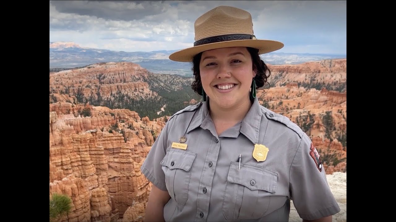
Seeing Satellite Benefits on the Ground with the National Park Service
1 year ago
1
From the hoodoos in Bryce Canyon to the caves of Carlsbad Caverns and the giant sequoias of Yosemite, did you know researchers use NASA satellite data in National Parks?
Our view from space can help monitor water resources, assess air quality, analyze fire patterns, track vegetation changes, and more. It all helps the National Park Service make informed decisions for protecting and restoring America’s most beautiful natural spaces.
This video can be freely shared and downloaded. While the video in its entirety can be shared without permission, the music and some individual imagery may have been obtained through permission and may not be excised or remixed in other products.
Loading comments...
-
 LIVE
LIVE
LFA TV
14 hours agoLFA TV ALL DAY STREAM - MONDAY 7/21/25
5,272 watching -
 LIVE
LIVE
Caleb Hammer
1 hour agoShe Sucks... | Financial Audit
163 watching -
 LIVE
LIVE
Bannons War Room
5 months agoWarRoom Live
18,183 watching -
 2:17:10
Matt Kohrs
10 hours agoMarket Open: New Highs, Tesla Stock Skyrockets & The Week Ahead || Live Trading
14.7K3 -
 56:46
56:46
VSiNLive
1 hour agoA Numbers Game with Gill Alexander | Hour 1
10K -
 32:27
32:27
Rethinking the Dollar
56 minutes agoGENIUS ACT: CBDC Is Coming Through the Backdoor | Genius Act Breakdown
-
 1:10:13
Dear America
3 hours agoTrump EXPOSES Obama RUSSIA RUSSIA RUSSIA HOAX!! SEND THEM ALL TO JAIL!!!
110K98 -
 LIVE
LIVE
Badlands Media
9 hours agoBadlands Daily: July 21, 2025
5,629 watching -
 LIVE
LIVE
Wendy Bell Radio
6 hours agoTRAITORS.
10,360 watching -
 LIVE
LIVE
GritsGG
3 hours agoWin Streaking! Most Wins 3100+! 🔥
61 watching