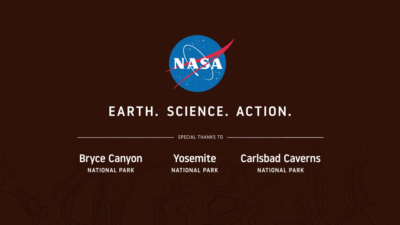
Seeing Satellite Benefits on the Ground with the National Park Service
From the hoodoos in Bryce Canyon to the caves of Carlsbad Caverns and the giant sequoias of Yosemite, did you know researchers use NASA satellite data in National Parks?
Our view from space can help monitor water resources, assess air quality, analyze fire patterns, track vegetation changes, and more. It all helps the National Park Service make informed decisions for protecting and restoring America’s most beautiful natural spaces.
This video can be freely shared and downloaded. While the video in its entirety can be shared without permission, the music and some individual imagery may have been obtained through permission and may not be excised or remixed in other products.
For more information on NASA’s media guidelines, visit https://nasa.gov/multimedia/guidelines.
-
 28:26
28:26
Producer Michael
21 hours agoIS THIS MY MOST CRAZY PURCHASE YET?!
10.7K2 -
 23:21
23:21
marcushouse
8 hours ago $1.10 earnedStarship Flight When!? Yea, a LOT Just Happened!
9.29K1 -
 23:48
23:48
Jasmin Laine
17 hours ago“We Reject Demographic Change”—Carney’s Comment BLOWS UP as Poilievre Drops the Hammer
11.4K20 -
 2:02:28
BEK TV
1 day agoTrent Loos in the Morning 7/23/2025
10.3K -
 12:48
12:48
Degenerate Jay
16 hours ago $1.17 earnedUbisoft Hates Game Preservation
15.6K5 -
 9:33
9:33
The Art of Improvement
21 hours ago $1.99 earnedHow to Bounce Back from Hard Times
17.9K4 -
 4:53
4:53
The Official Steve Harvey
1 day ago $1.34 earnedNo Such Thing as Luck — Just God’s Grace
16.9K6 -
 6:16
6:16
GBGunsRumble
21 hours agoGBGuns @ Alabama Arsenal Czech Weapons CSV-9
13.5K -
 9:06
9:06
MattMorseTV
1 day ago $14.05 earnedTrump wants to END THE FED.
66.6K117 -
 2:05:18
MG Show
21 hours agoBreaking: Ukrainian Whistleblower Letter to DNI Gabbard Exposes Biden Corruption
26.9K20