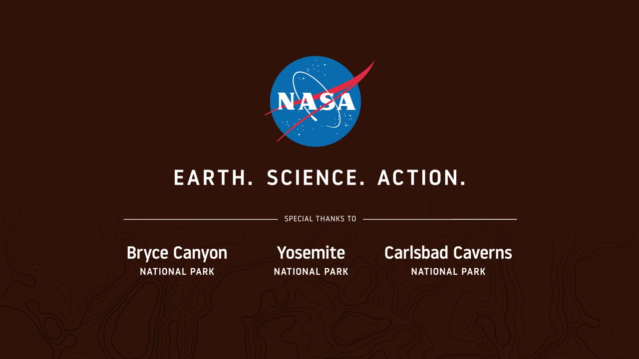
Seeing Satellite Benefits on the Ground with the National Park Service
From the hoodoos in Bryce Canyon to the caves of Carlsbad Caverns and the giant sequoias of Yosemite, did you know researchers use NASA satellite data in National Parks?
Our view from space can help monitor water resources, assess air quality, analyze fire patterns, track vegetation changes, and more. It all helps the National Park Service make informed decisions for protecting and restoring America’s most beautiful natural spaces.
This video can be freely shared and downloaded. While the video in its entirety can be shared without permission, the music and some individual imagery may have been obtained through permission and may not be excised or remixed in other products.
For more information on NASA’s media guidelines, visit https://nasa.gov/multimedia/guidelines.
-
 LIVE
LIVE
StevieTLIVE
1 hour ago#1 Mullet on Warzone #1 Soon to be Daddy #1 Hype Man
69 watching -
 22:48
22:48
Jasmin Laine
7 hours ago“AWKWARD Reality for Carney"—CBC Host SQUIRMS as Guest Says ‘We NEED Trump’
75621 -
 LIVE
LIVE
Spartan
5 hours agoOMiT Spartan | Scrims vs Luminon, then ranked and/or 8s, God of War,. Or one. Maybe both. Idk
63 watching -
 LIVE
LIVE
Anthony Rogers
8 hours agoEpisode 386 - The Anthony Rogers Show x Gringo the MC
27 watching -
 1:01:22
BonginoReport
5 hours agoDems Take Credit For Ceasefire, Blame Trump - Nightly Scroll w/ Hayley Caronia (Ep.155)
92.9K48 -
 13:10:09
LFA TV
1 day agoLIVE & BREAKING NEWS! | TUESDAY 10/14/25
172K32 -
 5:36:37
The Rabble Wrangler
21 hours agoBattlefield 6 with The Best in the West
98 -
 LIVE
LIVE
Putther
2 hours ago🔴BACK ON THE GTA ONLINE GRIND!! Ft. GTA RP
85 watching -
 1:06:24
TheCrucible
4 hours agoThe Extravaganza! EP: 53 with guest co-host Rob Noerr (10/14/25)
39.1K17 -
 LIVE
LIVE
Meisters of Madness
3 hours agoThe Nightmare Begins
20 watching