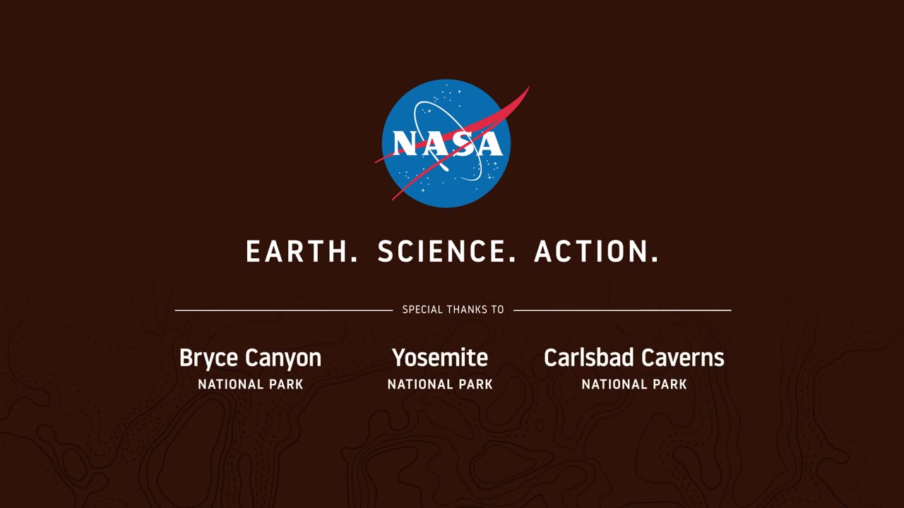
Seeing Satellite Benefits on the Ground with the National Park Service
From the hoodoos in Bryce Canyon to the caves of Carlsbad Caverns and the giant sequoias of Yosemite, did you know researchers use NASA satellite data in National Parks?
Our view from space can help monitor water resources, assess air quality, analyze fire patterns, track vegetation changes, and more. It all helps the National Park Service make informed decisions for protecting and restoring America’s most beautiful natural spaces.
This video can be freely shared and downloaded. While the video in its entirety can be shared without permission, the music and some individual imagery may have been obtained through permission and may not be excised or remixed in other products.
For more information on NASA’s media guidelines, visit https://nasa.gov/multimedia/guidelines.
-
 LIVE
LIVE
StoneMountain64
2 hours agoArc Raiders EXPEDITION Money Making is Insane
249 watching -
 2:16:21
Side Scrollers Podcast
4 hours agoTwitch has a SERIOUS Problem + Leaflit’s VIRAL Interview + More | Side Scrollers
11.8K3 -
 LIVE
LIVE
Barry Cunningham
18 hours agoBREAKING NEWS: President Trump Hosts Cabinet Meeting & Makes MAJOR Announcement!
2,122 watching -
![Wall Street CRASHED Bitcoin DOWN To $80,000!! [Heres Proof] | EP 1389](https://1a-1791.com/video/fww1/dc/s8/1/G/E/S/E/GESEz.0kob-small-Wall-Street-CRASHED-Bitcoin.jpg) 1:31:03
1:31:03
Simply Bitcoin
3 hours ago $0.84 earnedWall Street CRASHED Bitcoin DOWN To $80,000!! [Heres Proof] | EP 1389
11.1K1 -
 LIVE
LIVE
ROSE UNPLUGGED
21 hours agoBridging the Divide: Joe Manchin on Politics, Principles, and People First
19 watching -
 1:02:19
Timcast
3 hours agoMedia MELTS DOWN Over New Media Pentagon Takeover
117K51 -
 2:04:40
Steven Crowder
5 hours agoWar Criminal Pete Hegseth: Debunking the Media's Newest BS Smear Campaign
412K277 -
 59:57
59:57
The Rubin Report
4 hours agoPress Gasps When Told Trump’s Brutal Plan for Venezuela
45.3K88 -
 4:19:56
Benny Johnson
5 hours ago🚨Trump Cabinet Meeting LIVE Now in White House As Somali Fraud EXPOSED, Third World Deportations
85.5K68 -
 1:16:36
Sean Unpaved
3 hours agoAbdul Carter BENCHED In First Quarter AGAIN | UNPAVED
9.38K