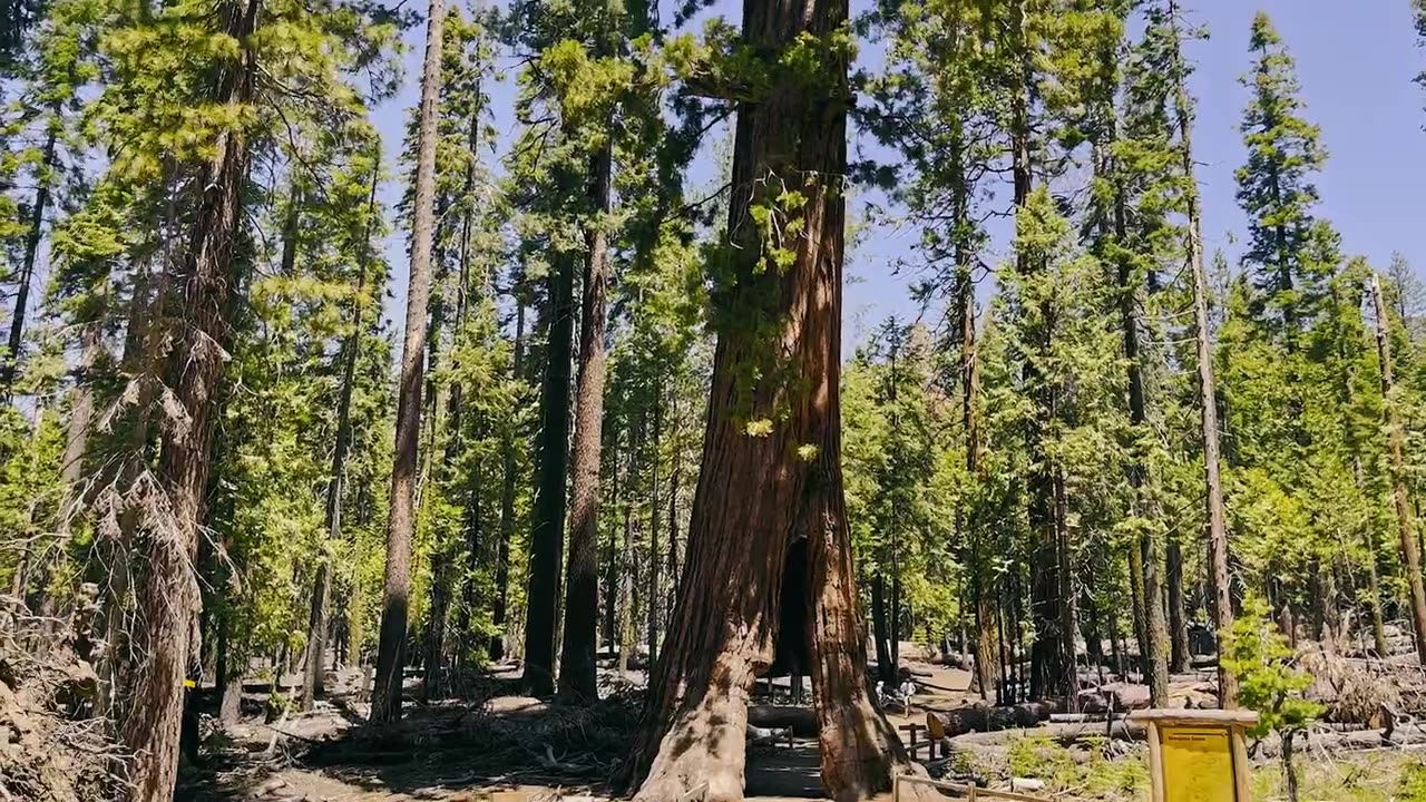
Seeing Satellite Benefits on the Ground with the National Park Service
2 years ago
33
From the hoodoos in Bryce Canyon to the caves of Carlsbad Caverns and the giant sequoias of Yosemite, did you know researchers use NASA satellite data in National Parks?
Our view from space can help monitor water resources, assess air quality, analyze fire patterns, track vegetation changes, and more. It all helps the National Park Service make informed decisions for protecting and restoring America’s most beautiful natural spaces.
This video can be freely shared and downloaded. While the video in its entirety can be shared without permission, the music and some individual imagery may have been obtained through permission and may not be excised or remixed in other products.
Loading comments...
-
 8:39
8:39
MetatronHistory
1 day agoWhy Did We Switch From Bronze to Iron in Classical Antiquity?
1.16K -
 11:01
11:01
MattMorseTV
12 hours ago $5.95 earnedEU caught in $140,000,000 SCANDAL.
8.19K37 -
 1:44:46
PandaSub2000
9 hours agoUltimate Chicken Horse | ULTRA BEST AT GAMES (HD Edited Replay)
1.13K -
 1:47:16
omarelattar
2 days agoTroy Eckard Shares His Rags to Riches Story
1.59K -
 26:18
26:18
GritsGG
12 hours agoHow to Activate Heat Map & Find Self Revives On Warzone!
1.33K -
 29:01
29:01
The Pascal Show
1 day ago $7.74 earnedRUNNING SCARED! Candace Owens DESTROYS TPUSA! Are They Backing Out?!
34.2K36 -
 24:45
24:45
Blabbering Collector
1 day agoUnboxing The 2025 Diagon Alley Advent Calendar By Carat Shop | Harry Potter
1.58K -
 0:43
0:43
Gaming on Rumble
1 day ago $5.40 earnedLvl UP (Raids)
34K2 -
 LIVE
LIVE
Lofi Girl
2 years agoSynthwave Radio 🌌 - beats to chill/game to
910 watching -
 19:07
19:07
MetatronGaming
1 day agoWe need to find a way out NOW!
3.04K