Jane Goodall to Conserve Chimpanzee Habitats
GOODALL: For me, storytelling
has always been the way to reach the heart. The stories that you can tell around
the images, along with the images make something very,
very powerful.
TEXT-ON-SCREEN: For 50 years NASA satellites like Landsat have been measuring dramatic changes in the world’s forests.
PINTEA: Science and technologies,
especially satellite imagery, are absolutely essential
because people's livelihoods, natural resources
and biodiversity are connected to each other.
Satellite imagery are our eyes in the sky,
providing those insights and up to date information.
VILLAGE LEADER: [speaks in local language]
TEXT-ON-SCREEN: Goodall’s Tacare program is a community-led approach helping both people and the environment
Satellite imagery has been used as a tool in their conservation efforts.
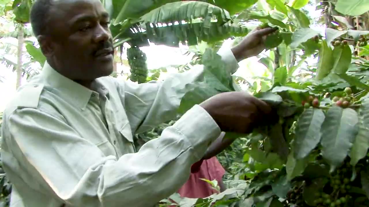
GOODALL: Going around the villages at the beginning of our Tacare program,
helping the villagers understand the importance of conservation
and what the deforestation was actually doing to harm them.
I will never forget when Lilian and I went to one of these villages
and he’d acquired one of these huge satellite imagery maps,
and we laid it out and the villagers were sitting around it
and their excitement was absolutely fantastic.
There was one woman saying,
That's the tree where I put my baby when I'm working in the fields.
And another man was saying, now we can see our sacred sites,
this tree and this rock......
-
 UPCOMING
ROSE UNPLUGGED
3 hours agoEzekiel’s War: Are We Seeing a Collision of Nations?
681 -
 1:48:05
The White House
5 hours agoPresident Trump Participates in a Cabinet Meeting, July 08, 2025
35K37 -
 1:06:46
Timcast
2 hours agoDeep State Plot For "REGIME CHANGE" Against Trump EXPOSED, Democrats DEMAND Violence
111K85 -
 1:32:17
Rebel News
1 hour agoConservative funds gender surgery, Carney's secret vacay, Decade of mass migration | Rebel Roundup
13.5K1 -
 31:37
31:37
Grant Stinchfield
2 hours ago $1.34 earnedNano Nightmare: Government Plot to Monitor Your Body from the Inside Out EXPOSED!
12.3K2 -
 1:05:43
The Rubin Report
3 hours agoPress Sec. Struggles to Hide Her Anger as Reporter Implies He Doesn’t Believe Her Epstein Story
128K91 -
![What Trump’s Big Beautiful Bill Means for Your Wallet - Dr. Kirk Elliott; 3+ [ N A T U R A L ] Tips to Stay Healthy - Dr. Troy Spurrill | FOC Show](https://1a-1791.com/video/fww1/df/s8/1/o/9/s/0/o9s0y.0kob.2-small-What-Trumps-Big-Beautiful-B.jpg) 1:19:04
1:19:04
Flyover Conservatives
3 hours agoWhat Trump’s Big Beautiful Bill Means for Your Wallet - Dr. Kirk Elliott; 3+ [ N A T U R A L ] Tips to Stay Healthy - Dr. Troy Spurrill | FOC Show
13.9K -
 LIVE
LIVE
LFA TV
17 hours agoLFA TV ALL DAY STREAM - TUESDAY 7/8/25
2,247 watching -
 1:36:01
The Mel K Show
3 hours agoMORNINGS WITH MEL K - Order Out of Chaos: International Global Governance Model Pushes Forward Despite Mass Rejection 7-8-25
29.5K4 -
 1:13:16
The Shannon Joy Show
4 hours ago🔥🔥Trump’s AG Pam Bondi Exonerates Epstein’s Pedos While Persecuting HERO Doctor Kirk Moore!🔥🔥
16.6K6