SWOT Earth Science Satellite Will Help Communities Plan for a Better Future
The SWOT (Surface Water and Ocean Topography) Earth Science Satellite is a cutting-edge technology that will revolutionize the way communities plan for a better future. This satellite is designed to provide comprehensive and accurate data on the Earth's surface water and ocean topography, enabling communities to make informed decisions in various areas such as water resource management, flood prediction, and climate change mitigation.
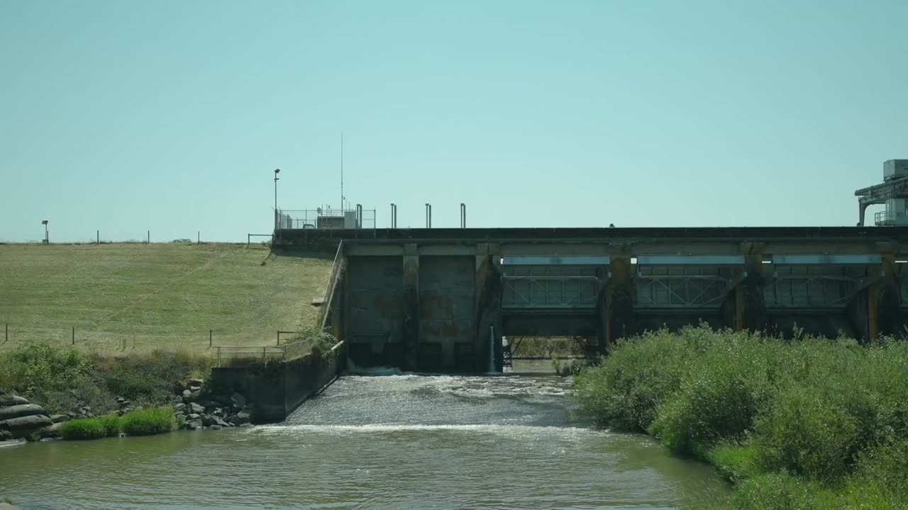
One of the key strengths of the SWOT satellite is its ability to collect high-resolution data on surface water. By accurately measuring the height and extent of rivers, lakes, and reservoirs, it can provide valuable insights into water availability, quality, and usage. This information is crucial for communities to effectively manage their water resources, ensuring a sustainable supply for agriculture, industry, and domestic use.
Additionally, the SWOT satellite's capability to monitor ocean topography is another significant advantage. It can measure the height and shape of ocean waves, currents, and tides, providing valuable data for coastal planning, navigation, and disaster management. This information is particularly useful for coastal communities, helping them prepare for potential hazards such as storm surges and tsunamis.
Moreover, the SWOT satellite's data can be used to improve flood prediction models. By accurately mapping the extent and depth of floodwaters, communities can enhance their preparedness and response strategies, minimizing the impact of flooding on lives and infrastructure. This information can also aid in the development of flood risk maps, enabling communities to identify vulnerable areas and implement appropriate mitigation measures.
Furthermore, the SWOT satellite's data on surface water and ocean topography can contribute to climate change research and mitigation efforts. By monitoring changes in water levels and ocean dynamics, scientists can better understand the impact of climate change on the Earth's water systems. This knowledge can inform policies and actions aimed at reducing greenhouse gas emissions, protecting ecosystems, and adapting to changing environmental conditions.
In conclusion, the SWOT Earth Science Satellite is a powerful tool that will help communities plan for a better future. Its ability to provide accurate and comprehensive data on surface water and ocean topography empowers communities to make informed decisions in water resource management, flood prediction, and climate change mitigation. By leveraging the strengths of this satellite, communities can work towards a sustainable and resilient future.
-
 50:40
50:40
Sarah Westall
6 hours agoAI, Social Media & Brain Atrophy: Destroying Human Capacity to Think w/ Rob Smith
23K6 -
 2:32:08
THOUGHTCAST With Jeff D.
3 hours ago $2.62 earnedSunday Night FORTNITE with THOUGHTCAST Jeff D & crew.
19.8K4 -
 55:10
55:10
The Mel K Show
10 hours agoMel K & Mike L | The Tylenol Piece: It's a Marathon, Not a Sprint | 10-19-25
86.8K12 -
 3:17:37
MrMoBetta13
4 hours ago $1.80 earnedCFB26 CUT Ranked + NEW NIGHTMARE CARDS and talking college football!!
15.2K8 -
 LIVE
LIVE
Spartan
7 hours agoOMiT Spartan | God of War Ragnarok and then Halo
59 watching -
 3:19:39
FusedAegisTV
1 day agoλ Black Mesa λ (Half Life 1 Remake) █ Western Retread
17.1K2 -
 40:22
40:22
MattMorseTV
5 hours ago $28.04 earned🔴They just tried it... AGAIN.🔴
25K58 -
 2:08:52
Nerdrotic
7 hours ago $16.97 earnedUncovering Egypts Greatest Mysteries w/ Hugh Newman| Forbidden Frontier #121
103K9 -
 2:25:58
vivafrei
13 hours agoEp. 287: Bolton INDICTED! Gaza Ceasefire BREACHED? Alex Jones Injustice Continues, ANTIFA & MORE!
114K157 -
 16:16
16:16
Robbi On The Record
8 hours ago $6.61 earnedThe Dark History of Halloween | What You Should Know
26.4K14