SWOT Earth Science Satellite Will Help Communities Plan for a Better Future
The SWOT (Surface Water and Ocean Topography) Earth Science Satellite is a cutting-edge technology that will revolutionize the way communities plan for a better future. This satellite is designed to provide comprehensive and accurate data on the Earth's surface water and ocean topography, enabling communities to make informed decisions in various areas such as water resource management, flood prediction, and climate change mitigation.
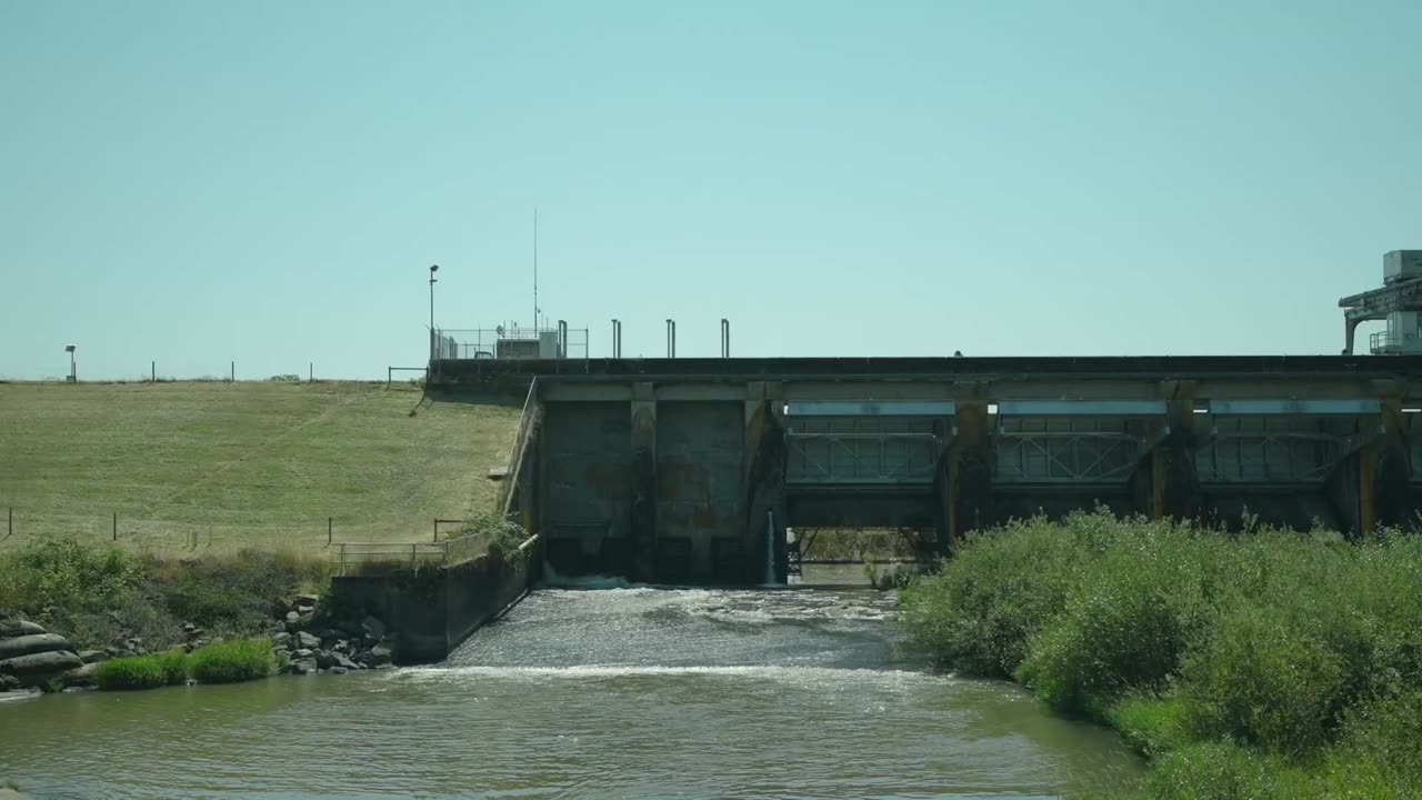
One of the key strengths of the SWOT satellite is its ability to collect high-resolution data on surface water. By accurately measuring the height and extent of rivers, lakes, and reservoirs, it can provide valuable insights into water availability, quality, and usage. This information is crucial for communities to effectively manage their water resources, ensuring a sustainable supply for agriculture, industry, and domestic use.
Additionally, the SWOT satellite's capability to monitor ocean topography is another significant advantage. It can measure the height and shape of ocean waves, currents, and tides, providing valuable data for coastal planning, navigation, and disaster management. This information is particularly useful for coastal communities, helping them prepare for potential hazards such as storm surges and tsunamis.
Moreover, the SWOT satellite's data can be used to improve flood prediction models. By accurately mapping the extent and depth of floodwaters, communities can enhance their preparedness and response strategies, minimizing the impact of flooding on lives and infrastructure. This information can also aid in the development of flood risk maps, enabling communities to identify vulnerable areas and implement appropriate mitigation measures.
Furthermore, the SWOT satellite's data on surface water and ocean topography can contribute to climate change research and mitigation efforts. By monitoring changes in water levels and ocean dynamics, scientists can better understand the impact of climate change on the Earth's water systems. This knowledge can inform policies and actions aimed at reducing greenhouse gas emissions, protecting ecosystems, and adapting to changing environmental conditions.
In conclusion, the SWOT Earth Science Satellite is a powerful tool that will help communities plan for a better future. Its ability to provide accurate and comprehensive data on surface water and ocean topography empowers communities to make informed decisions in water resource management, flood prediction, and climate change mitigation. By leveraging the strengths of this satellite, communities can work towards a sustainable and resilient future.
-
 39:22
39:22
The Brett Cooper Show
2 days ago $4.59 earnedBieber’s Big F-You To Hollywood & Trump Gets Ratio’d Over Epstein | Episode 48
8.8K11 -
 2:41:02
FreshandFit
6 hours agoFormer Escort vs Trad-Wife HEATED DEBATE
207K72 -
 2:04:47
Inverted World Live
8 hours agoDoomsday Clouds and Mega Tsunamis
94.1K8 -
 2:29:52
Badlands Media
14 hours agoDevolution Power Hour Ep. 372: Trump’s “I Told You So” Arc and the Collapse They Can’t Hide
82.4K29 -
 9:34:31
RalliedLIVE
13 hours ago $4.53 earned10 WINS WITH THE SHOTTY BOYS
92.5K2 -
 8:14
8:14
MattMorseTV
13 hours ago $5.67 earnedBrazil just FOUND OUT.
38K37 -
 5:48:05
SpartakusLIVE
10 hours agoWZ Solos || GCX St. Jude Charity Marathon @ 8PM EST
35K -
 4:27:47
elwolfpr
8 hours agoThe Reaper Returns: I’m Back, Baby!
28.7K1 -
 3:02:07
TinyPandaface
7 hours agoYour FACE is a Gaming Channel! | BIRTH - Part 1
24.8K1 -
 1:49:18
FreshandFit
9 hours agoLauren Southern Accuses Tate Of Abuse!
67.1K73