Premium Only Content
This video is only available to Rumble Premium subscribers. Subscribe to
enjoy exclusive content and ad-free viewing.

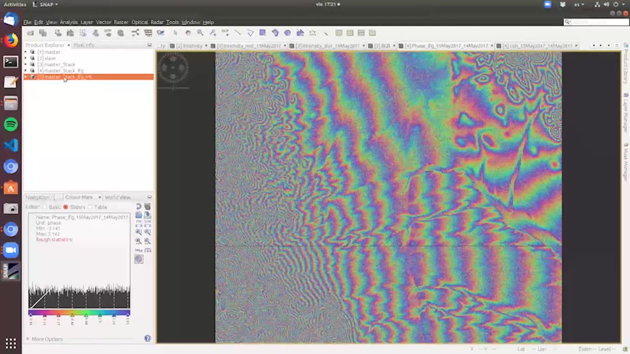
NASA ARSET: Generating a Digital Elevation Model (DEM), Part 3/3
1 year ago
3
Advanced Webinar: SAR for Disasters and Hydrological Applications
Part Three: Generating a Digital Elevation Model (DEM)
Featuring a guest speaker from Argentina’s CONAE, participants will learn how to generate a digital elevation model (DEM) through InSAR techniques. The first part of the session will cover the physics behind using two SAR phase images to generate a DEM. The remainder of the time will focus on how to generate a DEM.
Download materials from this presentation:
Loading comments...
-
 6:02:30
SpartakusLIVE
8 hours agoVerdansk QUADS || #1 MACHINE is BACK taking NO DAYS OFF (until I feel like it)
51.2K -
 3:22:12
Alex Zedra
5 hours agoLIVE! Ready or Not
36.8K2 -
 29:05
29:05
Man in America
16 hours agoDid the Fed Just Admit Gold Will Be Revalued? This Could Change EVERYTHING
40.1K20 -
 45:54
45:54
MattMorseTV
6 hours ago $6.35 earned🔴55 MILLION immigrants are UNDER REVIEW. 🔴
40K44 -
 3:15:07
TheItalianCEO
7 hours agoLast Stream before I go - Playing The Finals
27.2K -
 1:14:43
JustPearlyThings
6 hours agoPearl Reacts: 20 Black Conservatives DESTROY Radical Feminist Activist | Pearl Daily
46.4K20 -
 3:42:27
This is the Ray Gaming
5 hours ago $0.37 earnedThursRAY Night LIVE with the BOYS! | Rumble Premium Creator
16.1K -
 5:34:28
The UC Zone
8 hours ago🔴LIVE - THE UC ZONE - NEW UPDATE TO OFF THE GRID?!?
11K -
 2:09:22
Robert Gouveia
9 hours agoTrump WINS Appeal! 🚨 Letitia James BLOWN OUT! Biden Scandal BOMBSHELL!
39.6K24 -
 3:15:52
Barry Cunningham
9 hours agoBREAKING NEWS: PRESIDENT TRUMP ON PATROL IN WASHINGTON D.C.
63.8K46