Premium Only Content

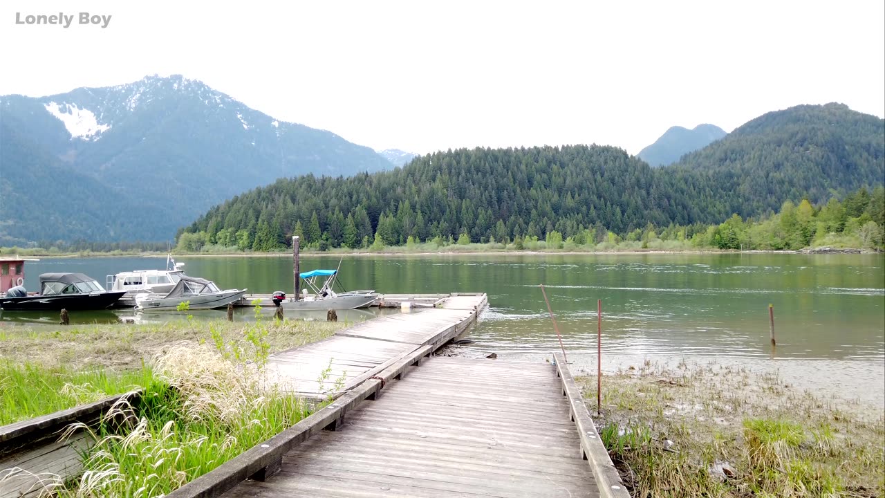
Grant Narrows Regional Park
Grant Narrows Regional Park To reach Grant Narrows park, drive east of the Pitt River Bridge on the Lougheed Highway (Highway 7). You are now in Pitt Meadows, about 25 km (15.5 mi.) from Vancouver. Turn north on Harris Road at the traffic lights where a large sign points to Pitt Lake. You begin to drive through agricultural land at this point, past prosperous-looking dairy and tree farms. Turn right on McNeil Road, then left on 132nd Avenue and left again at Neaves Road, following it north past the Swaneset Bay golf course, with its imposing clubhouse. Neaves crosses both the south and north arms of the Alouette River, along whose 17 km (10.5 km) of dike trails you might see people walking, jogging, cycling or horseback riding. Beyond the narrow bridge that spans the North Alouette, the road becomes rougher as its name changes from Neaves to Rannie. The park lies 10 km (6.2 mi.) north of here.
-
 13:05
13:05
Cowboy Kent Rollins
22 hours ago $4.86 earnedHomemade Cowboy Corn Dogs | Easy Corndog Recipe
11.5K11 -
 2:11:49
Rotella Games
19 hours agoSaturday Morning Family Friendly Fortnite
5.39K2 -
 8:24
8:24
Talk Nerdy Sports - The Ultimate Sports Betting Podcast
1 hour ago4/26/25 - Saturday Annihilation: Vasil’s 8 Sharp Picks and 2 PrizePicks Built for Blood 💥📈
15.1K -
 LIVE
LIVE
I_Came_With_Fire_Podcast
10 hours agoRESTRUCTURING THE WORLD- CIVICS CLASS WITH DAN HOLLAWAY
402 watching -
 DVR
DVR
Bannons War Room
2 months agoWarRoom Live
14.2M3.57K -
 LIVE
LIVE
Total Horse Channel
1 day agoYELLOWSTONE SLIDE I | SATURDAY
316 watching -
 23:52
23:52
The Rad Factory
3 hours ago $0.67 earnedIs My Formula Race Car Faster Than a Go Kart?
17.4K2 -
 20:56
20:56
marcushouse
3 hours ago $1.44 earnedStarship Flight Test 9 Vehicles FINALLY Prepare, and Huge Starbase Upgrades – It's All Happening!
11.3K12 -
 23:48
23:48
CatfishedOnline
17 hours agoVictim's Life is Threatened After He Gets in Too Deep With a Crypto Scammer
8.37K2 -
 8:40
8:40
Shea Whitney
4 hours ago $1.09 earned12 Fashion Mistakes Making You Look OLD & OUTDATED!
10.9K3