SWOT: Earth Science Satellite Will Help Communities Plan for a Better Future
The NASA and French space agency Centre National d’Études Spatiales (CNES) are collaborating on a new Earth science mission that aims to assist communities in planning for a better future. The mission, called the Surface Water and Ocean Topography (SWOT), will focus on surveying the planet's salt and freshwater bodies. SWOT will measure the water height in lakes, rivers, reservoirs, and oceans to provide valuable data for managing water resources in the face of climate change. The mission aims to improve flood forecasting, monitor drought conditions, and provide essential information to water management agencies, civil engineers, universities, the U.S. Department of Defense, and disaster preparedness agencies.
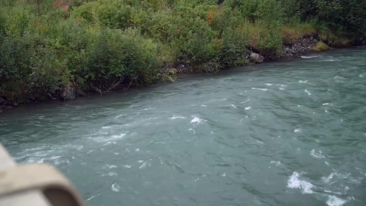
SWOT data will have a variety of applications in different communities. The video accompanying the announcement showcases examples of how the data will be used. These include flood watches and warnings in Portland, Oregon, water management in Fern Ridge Lake, Oregon, protecting infrastructure in Alaska, national security concerns for the Department of Defense, and coastal protection efforts in the Mississippi River Delta.
SWOT is scheduled to launch from Vandenberg Space Force Base in California in December 2022.
Here are a few ways I can assist you further:
Research more about the SWOT mission and its potential impact on water management and climate change adaptation efforts.
Provide examples of other Earth science missions that focus on monitoring and understanding the environment.
Help you find additional resources or data on the impact of climate change on water resources and related challenges.
Let me know which of these options you would like to explore, or if there's anything else I can assist you with!
-
 1:17:21
Russell Brand
1 hour agoTrump, Faith, and Peterson Academy: Mikhaila Fuller on Reconciliation and Cultural Change – SF503
47.8K43 -
 LIVE
LIVE
Nerdrotic
2 hours agoHappy Thanksgiving! Super Chat Square Up - Nerdrotic Nooner 446
1,144 watching -
 1:15:58
Robert Gouveia
3 hours agoTrump CELEBRATES Transition Talks; Blackrock SUED by 11 States; Diddy Bail Ruling
16.8K18 -
 2:59:19
Wendy Bell Radio
8 hours agoWinner Winner Turkey Dinner
42.7K118 -
 14:41
14:41
Scammer Payback
15 days agoScaring Fake Amazon Scammers
69.2K55 -
 2:28:10
Game On!
16 hours ago $13.47 earnedNFL Turkey Day Deep Dive! Wise Guy Round Table and Best Bets!
89K9 -
 2:46:25
Fresh and Fit
19 hours agoConor McGregor Accused Of Assault!
278K143 -
 3:42:32
Alex Zedra
16 hours agoLIVE! Chill stream before Thanksgiving!
202K29 -
 5:00:01
Pepkilla
19 hours agoDouble XP Zombies and Warzone ~
86K10 -
 0:46
0:46
Dr Disrespect
2 days agoIt's not just a stream... it's an experience
610K2.97K