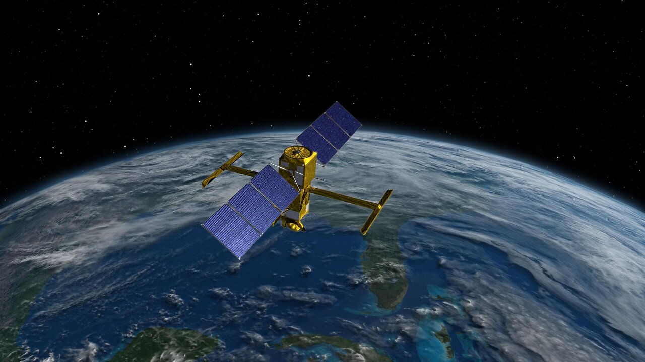
SWOT- Earth Science Satellite Will Help Communities Plan for a Better Future
A SWOT analysis for an Earth Science Satellite aimed at helping communities plan for a better future would assess its Strengths, Weaknesses, Opportunities, and Threats in achieving this mission.
Strengths:
Data Accuracy: Earth Science Satellites can provide highly accurate data on various environmental parameters like weather, climate, land use, and natural disasters. This accuracy strengthens the reliability of the information for community planning.
Global Coverage: Satellites can capture data from remote and inaccessible regions, ensuring a comprehensive global perspective, which is invaluable for understanding and planning for various environmental challenges.
Real-Time Monitoring: Many Earth Science Satellites can provide real-time or near-real-time data, allowing for timely responses to emerging environmental issues, such as severe weather events.
Long-Term Data Trends: These satellites can track long-term trends and changes in the environment, providing valuable insights for sustainable planning and resource management.
Cost-Effective: In the long run, satellite data can be cost-effective compared to ground-based data collection and monitoring methods, especially in remote or rugged terrains.
Weaknesses:
Cost of Deployment: The initial cost of developing, launching, and maintaining Earth Science Satellites can be extremely high, limiting the number of satellites in operation and access to their data.
Dependence on Technology: Satellites are vulnerable to technical malfunctions or damage from space debris, which can disrupt data collection and necessitate expensive repairs.
Limited Spatial Resolution: Satellite imagery might lack the fine spatial resolution needed for detailed community-level planning, especially in urban areas.
Data Overload: The sheer volume of data generated by Earth Science Satellites can overwhelm users, requiring advanced processing and analysis capabilities.
Data Privacy and Security: Ensuring the privacy and security of sensitive satellite data is a concern, especially when used for community planning and decision-making.
Opportunities:
Improved Disaster Preparedness: Earth Science Satellites can enhance early warning systems for natural disasters like hurricanes, earthquakes, and wildfires, allowing communities to prepare better and reduce risk.
Climate Change Mitigation: Satellite data is crucial for monitoring climate change impacts and assessing the effectiveness of mitigation strategies, guiding communities towards sustainable practices.
Resource Management: Satellites can help communities manage natural resources, such as water, agriculture, and forestry, ensuring their sustainable use.
Infrastructure Planning: Satellite data aids in urban planning, transportation, and infrastructure development by providing insights into population trends and land use.
International Collaboration: Earth Science Satellites offer opportunities for international collaboration on global environmental challenges, fostering diplomatic relations and shared solutions.
Threats:
Political and Funding Uncertainty: The long-term sustainability of satellite programs can be threatened by changes in political leadership, budget cuts, or shifts in priorities.
Data Access and Distribution: Ensuring equitable access to satellite data, especially for developing nations or disadvantaged communities, can be a challenge.
Technological Obsolescence: Rapid advancements in satellite technology can render existing satellites outdated, requiring continuous investment to maintain relevance.
Environmental Hazards: Space debris and collisions with other satellites pose a threat to Earth Science Satellites, potentially disrupting their operations.
Data Misinterpretation: Misinterpretation or misuse of satellite data can lead to misguided policies and planning decisions, which may not serve communities' best interests.
In conclusion, Earth Science Satellites have immense potential to assist communities in planning for a better future by providing accurate, real-time, and long-term data. However, they also face challenges related to cost, technology, and data management, which need to be carefully managed to harness their full benefits. International cooperation and responsible data usage are essential in realizing the potential of these satellites for community planning and environmental sustainability.
-
 2:44:07
BlackDiamondGunsandGear
11 hours agoAFTER HOURS ARMORY / Whiskey & Windage
20.9K2 -
 23:56
23:56
marcushouse
20 hours ago $20.33 earnedStarship Began the Demolition!? 🔥
37.3K6 -
 17:59
17:59
JohnXSantos
1 day ago $5.35 earnedI Gave AI 14 Days to Build NEW $5K/MONTH Clothing Brand
23.9K3 -
 2:44:07
DLDAfterDark
10 hours ago $16.03 earnedGun Talk - Whiskey & Windage - The "Long Range" Jouney - After Hours Armory
26.2K1 -
 9:37
9:37
Film Threat
12 hours agoSHELBY OAKS REVIEW | Film Threat
16.7K6 -
 35:40
35:40
The Mel K Show
7 hours agoMel K & Dr. Mary Talley Bowden MD | Heroes of the Plandemic: Doing What is Right No Matter the Cost | 10-25-25
44.3K13 -
 3:06:20
FreshandFit
12 hours agoNetworking At Complex Con With DJ Akademiks
211K23 -
 7:02:27
SpartakusLIVE
10 hours agoThe King of Content and the Queen of Banter || Duos w/ Sophie
42.3K2 -
 1:47:12
Akademiks
9 hours agoLive on complexcon
41.7K5 -
 3:07:36
Barry Cunningham
11 hours agoCAN PRESIDENT TRUMP STOP THE STORMS? ON AIR FORCE ONE | SNAP BENEFITS | MAMDANI | SHUTDOWN DAY 25
43.6K71