Premium Only Content

Unveiling the Future: How SWOT Earth Science Satellite Empowers Community Planning
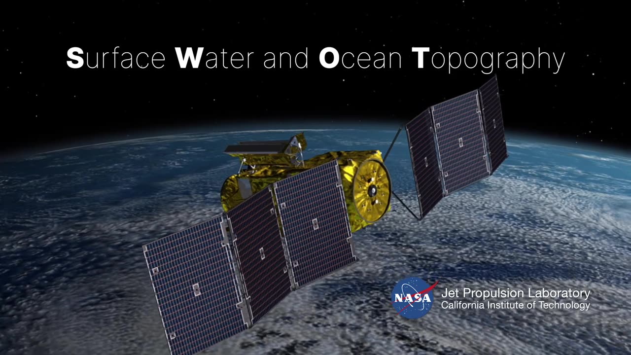
SWOT stands for Surface Water and Ocean Topography, and its applications extend far beyond its acronym. This state-of-the-art satellite is designed to measure Earth's water surface elevation, enhancing our understanding of oceans, lakes, and rivers. Through the meticulous collection of water height data, the SWOT satellite equips communities with crucial information for efficient urban planning, flood prediction, and resource management.
Imagine having the power to predict and mitigate floods with unmatched accuracy, or efficiently managing water resources to sustain growing populations. SWOT's intricate measurements provide unparalleled insights into Earth's water dynamics, enabling policymakers, scientists, and communities to collaborate effectively in shaping a resilient future.
As we delve deeper into the significance of SWOT, we'll explore its technological prowess and its pivotal role in addressing the challenges posed by climate change. The satellite's ability to monitor sea level rise, analyze coastal erosion, and assess water storage variations contributes to a comprehensive understanding of our planet's evolving landscape.
Join us in unraveling the multifaceted potential of the SWOT Earth Science Satellite and its undeniable impact on community planning. Through stunning visuals and expert insights, this video transcends the realm of technology to illustrate how SWOT is not just a satellite, but a beacon of hope guiding us toward a more sustainable and prepared tomorrow.
Don't miss out on this enlightening experience! Watch this video and be inspired by the possibilities that SWOT brings to the table. And while you're here, make sure to explore our other videos on cutting-edge technologies and innovations that are shaping the world around us.
#SWOTSatellite
#CommunityPlanning
#FuturePreparedness
-
 46:02
46:02
Coin Stories with Natalie Brunell
1 day agoWhat They’re Hiding About the Economy | Natalie Brunell with Danielle DiMartino Booth
10.3K2 -
 12:12
12:12
GritsGG
11 hours ago23 Warzone Wins in a Row! (Cypher AR)
46.3K -
 2:12:07
Side Scrollers Podcast
18 hours agoCULTURE SHIFT CAUSES MELTDOWNS + MASSIVE CENSORSHIP EFFORTS RAMP UP | SIDE SCROLLERS LIVE
9.08K5 -
 11:25
11:25
Nikko Ortiz
1 day agoMost Painful Fails
42.5K26 -
 43:55
43:55
pewculture
6 days ago $2.05 earnedIf the Purge was real, this is what we'd do... - EP#24
7.29K4 -
 8:14
8:14
MattMorseTV
1 day ago $9.52 earnedTrump just DROPPED the HAMMER.
53.5K63 -
 LIVE
LIVE
Lofi Girl
2 years agoSynthwave Radio 🌌 - beats to chill/game to
280 watching -
 22:39
22:39
BlabberingCollector
9 hours agoThe Alphabet Mafia Is Mad At JK Rowling AGAIN
16K3 -
 5:30:52
SpartakusLIVE
10 hours agoDuos w/ @GloryJean || #1 Masculine Muscle MASS sears YOUR retinas with MIND BENDING content
223K3 -
 3:05:49
TimcastIRL
9 hours agoNew DOCS PROVE Obama Hillary CONSPIRACY To SABOTAGE Trump Admin | Timcast IRL
232K138