Premium Only Content

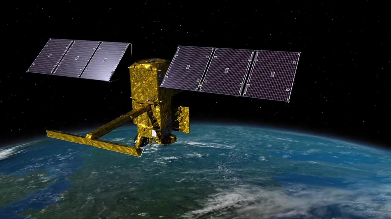
SWOT: Earth Science Satellite Will Help Community Plan for a Better Future
A new Earth science missien, led by MASA and the trench qpace agency
Contre Mational d tudes Spatiates (tMES), witl help communities plan
for a belter future by survejing the planet s salt and treshueter bedies.
The Surkace Water and Qcean bpegraphy (8WO) mission will measre
the height ef water in lakes, rieNs, Peservei's, and the sceans.
As climate change accelertes the water cycle, mere cOMmunities arcund
the tworld will be inundatecd vwith water while cthens won-t have enough.
SWOT data will be used to improve flood loNecasts and menter drought
conditicns, prouding essential inkormaticn te water management
agencies, ciil engineers, universities, the U. s. Departnent ef Delense,
disaster preparedness agencies, and others whe need to track water in
their local areas:. In this idee, examples of how $W0T data will be used
these comMwnities ure shured by a Mational Weather Serúce
representative in Oregen, an Alaska Department et Fanyertaticn
engineer, researchers frem the University ef Oregen and University of
Merth tarolina, a MASA Jet Drepulsien Laberatery scientist werking
wtth the Department of Defense, and a JVL scienlist working witin the
Louisiana toastal Protectien and Restoration Agency.
:30 - Tlood Watches & Warning - Portland, Oregen
1-08 - Water Wlanagement - ern Ridge Lake, Oregon
2:05 - Dretecting nfastnucure - laska
2:54 - atienal Seaurty - Department of Defense
3:24 - teastal Pretection - Misissippi Ruver Delta
SWOT is expected te launch brom hndenberg Space toce Base in
talifornia in Becemiher 2022.
The missien is a collaberaticn betiveen MASA and MES, witn
contributiens (rem the tanadian space Agency and UK Space Ayency.
JPL, which is managed for ASA by tatech in PasMulena, talikernia,
leads the U. S. cemponent ef The preject.
B learn mere abeut the missien, ust: hitps-//set.jpl. nasa. gev
tredit: MASA/IDI-taltech/tMESThales Alenia Space
-
 59:21
59:21
Adam Does Movies
10 hours ago $2.26 earnedMore Reboots + A Good Netflix Movie + Disney Live-Action Rant - LIVE
48.5K1 -
 36:28
36:28
TheTapeLibrary
19 hours ago $11.54 earnedThe Disturbing True Horror of the Hexham Heads
74K7 -
 6:08:00
JdaDelete
1 day ago $6.72 earnedHalo MCC with the Rumble Spartans 💥
52.8K7 -
 3:52:22
Edge of Wonder
13 hours agoChristmas Mandela Effects, UFO Drone Updates & Holiday Government Shake-Ups
45.6K15 -
 1:37:36
Mally_Mouse
12 hours agoLet's Play!! -- Friends Friday!
48.3K1 -
 57:45
57:45
LFA TV
1 day agoObama’s Fake World Comes Crashing Down | Trumpet Daily 12.20.24 7PM EST
44.1K22 -
 1:27:17
2 MIKES LIVE
11 hours ago2 MIKES LIVE #158 Government Shutdown Looms and Games!
37.5K10 -
 1:07:34
The Big Mig™
15 hours agoVeteran, Patriot, Leader, Author Allen West joins The Big Mig Show
33.7K8 -
 1:06:47
The Amber May Show
1 day ago $1.42 earnedBloated CR Failed | What Did The View Say Now? | Who Kept Their Job At ABC| Isaac Hayes
20.3K4 -
 59:29
59:29
State of the Second Podcast
4 days agoAre We Losing the Fight for Gun Rights? (ft. XTech)
34.4K3