SWOT: Earth Science Satellite Will Help Communities Plan for a Better Future
#Description...
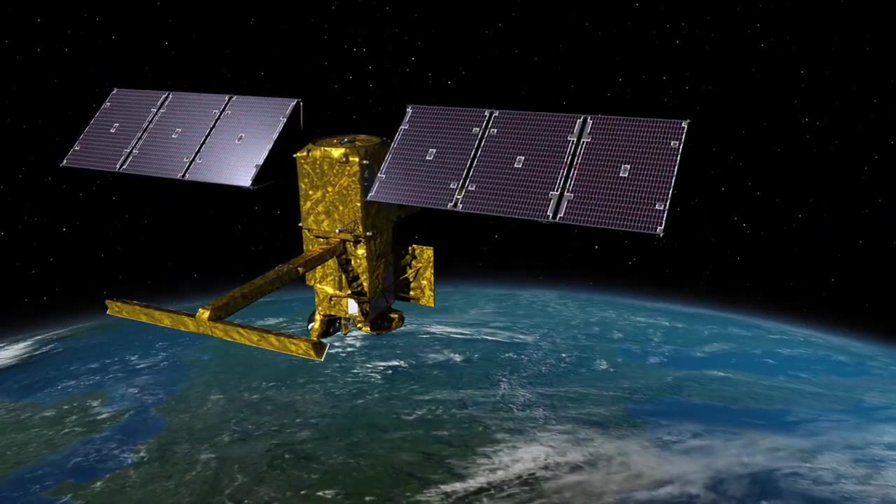
The SWOT (Surface Water and Ocean Topography) Earth Science Satellite represents a groundbreaking advancement in our ability to understand and manage Earth's water bodies. Designed to meticulously map the Earth's oceans, lakes, rivers, and water reservoirs, SWOT promises to empower communities with crucial insights for informed decision-making and proactive planning. By providing detailed data on water surface elevations, currents, and variations, this cutting-edge satellite technology equips governments, researchers, and local stakeholders with the tools needed to address a spectrum of challenges, including water resource management, disaster response, urban development, and environmental conservation. With its potential to foster sustainable practices and enhance resilience, the SWOT Earth Science Satellite emerges as an indispensable asset in shaping a more secure and prosperous future for communities worldwide.
-

Wendy Bell Radio
6 hours agoPet Talk With The Pet Doc
7.23K22 -
 LIVE
LIVE
FusedAegisTV
10 hours agoStreet Fighter 6 FINALS, CS2 Semifinals | $1,250,000 | Riyadh, Saudi Arabia EWC 2025 !estv
130 watching -
 LIVE
LIVE
GritsGG
1 day ago36 Hour Stream! Most Wins 3420+ 🧠
1,889 watching -
 40:42
40:42
SouthernbelleReacts
1 day ago😂 American Pie (1999) Reaction | Iconic Teen Comedy, High School Chaos & 90s Nostalgia 🥧
1.34K1 -
 LIVE
LIVE
LumpyPotatoX2
1 hour agoBecome a HellDiver Today - #RumbleGaming
66 watching -
 LIVE
LIVE
Midnight In The Mountains
2 hours agoGaming w/ PER·SE·VER·ANCE | Sassy Saturday Fortnite | with the Midnights!
61 watching -
 LIVE
LIVE
shyboyking
1 hour agoThe Bots Of The Bots !!!😎
57 watching -
 24:06
24:06
True Crime | Unsolved Cases | Mysterious Stories
5 days ago $0.11 earnedShe Traveled Alone… and Never Came Back – 5 Mysterious Unsolved Cases (Part 6)
7151 -
 27:23
27:23
Clickbait Wasteland
14 hours agoAsking New Yorkers Who They Support For Mayor: Staten Island
1.17K2 -
 16:58
16:58
World2Briggs
22 hours agoThe California Rant: Point Blank With No Fluff or BS. California Gold?
929