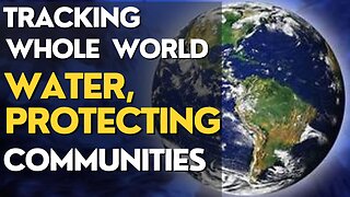
SWOT- Earth Science Satellite Will Help Communities Plan for a Better Future
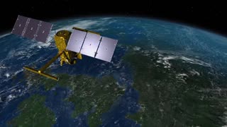
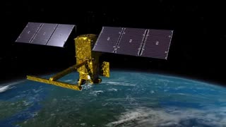
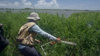
The Surface Water and Ocean Topography (SWOT) mission is a new Earth science mission led by NASA and the French space agency Centre National d’Études Spatiales (CNES) that will help communities plan for a better future by surveying the planet’s salt and freshwater bodies. The mission will measure the height of water in lakes, rivers, reservoirs, and the oceans. As climate change accelerates the water cycle, more communities around the world will be inundated with water while others won’t have enough. SWOT data will be used to improve flood forecasts and monitor drought conditions, providing essential information to water management agencies, civil engineers, universities, the U.S. Department of Defense, disaster preparedness agencies, and others who need to track water in their local areas
-
 4:25
4:25
addy9490
10 months agoSWOT: Earth Science Satellite Will Help Communities Plan for a Better Future
19 -
 4:25
4:25
WadeParker47
1 year agoSWOT: Earth Science Satellite Will Help Communities Plan for a Better Future
23 -
 1:50:29
VedioMix
10 months agoSWOT_ Earth Science Satellite Will Help Communities Plan for a Better Future (1)
-
 4:25
4:25
raza95
10 months agoSWOT: Earth Science Satellite Will Help Communities Plan for a Better Future
5 -
 4:25
4:25
Khanbangashh
10 months agoSWOT: Earth Science Satellite Will Help Communities Plan for a Better Future
1 -
 4:25
4:25
ZeemTv98
10 months agoSWOT: Earth Science Satellite Will Help Communities Plan for a Better...
10 -
 4:25
4:25
MrEthereum
10 months agoEarth Science Satellite Will Help Communities Plan for a Better Future
2 -
 4:25
4:25
NasaSpaceVideosOfficial
10 months agoEarth Science Satellite Will Help Communities Plan for a Better Future
14 -
 4:25
4:25
Exploring the Universe with NASA
10 months agoEarth Science Satellite Will Help Communities Plan for a Better Future
4 -
 4:25
4:25
SupremeTeam20
10 months agoSWOT: Earth Science Satellite Will Help Communities Plan for a Better Future
1