NASA ARSET Earth Observations and SWAT for Assessing Post-Fire Water Quality, Part 2 (Demo) of 3
1 year ago
9
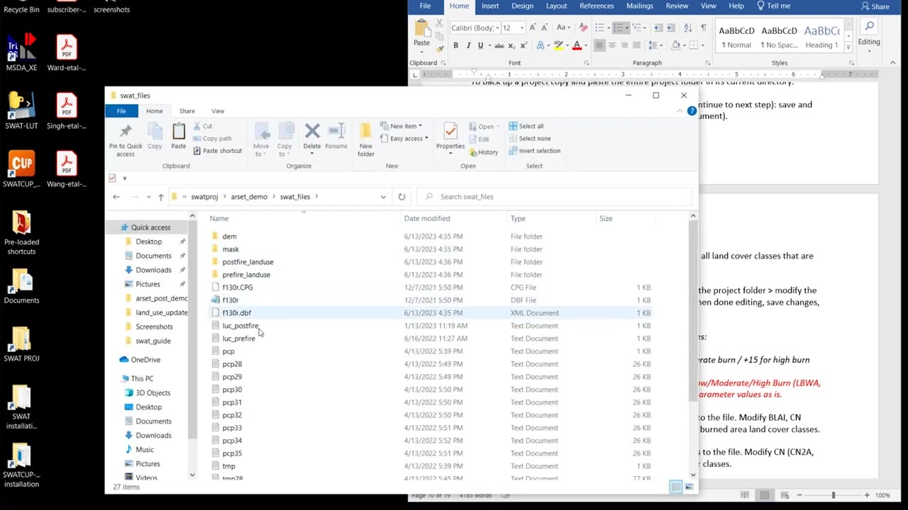
This is an optional, in-depth demonstration of the Soil & Water Assessment Tool (SWAT) model to accompany Part 2 of the ARSET webinar, "Assessing the Impacts of Fires on Watershed Health."
This demo will explain how to set up a post-fire model in ArcSWAT and use the Land Use Update tool to simulate wildfire in a chosen watershed. It is accompanied by a step-by-step SWAT ARSET Guide.
Loading comments...
-
 LIVE
LIVE
StoneMountain64
3 hours agoBest Extraction shooter is FINALLY on Console (+CoD Reveal Today)
356 watching -
 LIVE
LIVE
Due Dissidence
5 hours agoZelensky RETURNS To DC, HUGE Protests In Israel, Gal Gadot Blames Palestine For Flop, MSNBC Rebrands
987 watching -
 LIVE
LIVE
The HotSeat
1 hour ago🚨 Dems Swear Mail-In Voting Is “Secure”… Trump Says HELL NO 🚨
590 watching -
 LIVE
LIVE
Reidboyy
7 hours ago $0.55 earnedNEW FREE FPS OUT ON CONSOLE TODAY! (Delta Force = BF6 Jr.)
46 watching -

Stephen Gardner
1 hour ago🔥YES! Trump unleashes Democrats’ worst nightmare!
2 -
![[Ep 731] Trump Leading the World | Islam NOT Compatible with West | Guest Sam Anthony [your[NEWS](https://1a-1791.com/video/fww1/93/s8/1/c/n/K/a/cnKaz.0kob-small-Ep-731-Trump-Leading-the-Wo.jpg) LIVE
LIVE
The Nunn Report - w/ Dan Nunn
1 hour ago[Ep 731] Trump Leading the World | Islam NOT Compatible with West | Guest Sam Anthony [your[NEWS
139 watching -
 2:05:30
Side Scrollers Podcast
5 hours agoEveryone Hates MrBeast + FBI Spends $140k on Pokemon + All Todays News | Side Scrollers Live
74.4K2 -
 46:56
46:56
The White House
5 hours agoPress Secretary Karoline Leavitt Briefs Members of the Media, Aug. 19, 2025
43.5K45 -
 1:11:36
Sean Unpaved
4 hours agoFootball Flashpoint: Bengals' D in Distress, Colts' Bet on Jones, & Micah's Trade Talks
22.9K2 -
 LIVE
LIVE
The Robert Scott Bell Show
1 hour agoVaccine Lawsuits & Legal Fights, Autism–ADHD Link to Tylenol, MAHA Action, Caitlin Sinclair, Fat Jabs for Pets - The RSB Show 8-19-25
83 watching