Empowering Communities with SWOT: A Satellite for Future Planning
Leading a collaborative effort between NASA and the French space agency Centre National d’Études Spatiales (CNES), a novel Earth science endeavor is set to facilitate future planning for communities worldwide. This mission aims to meticulously survey Earth's salt and freshwater bodies, offering insights for a better tomorrow. The Surface Water and Ocean Topography (SWOT) initiative will gauge water levels in oceans, lakes, rivers, and reservoirs. As the impact of climate change accelerates the planet's water cycle, certain regions will face excessive flooding, while others will grapple with water scarcity.
The SWOT project's data holds significant promise, particularly in advancing flood predictions and monitoring drought occurrences. This data becomes invaluable for entities like water management agencies, civil engineers, universities, the U.S. Department of Defense, disaster preparedness organizations, and other stakeholders vested in local water tracking. This video presentation delves into real-world applications of SWOT data within various communities. Insights are shared by diverse voices including a representative from the National Weather Service in Oregon, an engineer from the Alaska Department of Transportation, researchers affiliated with the University of Oregon and University of North Carolina, a NASA Jet Propulsion Laboratory scientist collaborating with the Department of Defense, and a JPL scientist partnering with the Louisiana Coastal Protection and Restoration Agency.
The video highlights several use cases of SWOT data application:
Flood Monitoring in Portland, Oregon: The clip at the 30-second mark showcases how SWOT data aids in flood watches and warnings in Portland.
Water Management at Fern Ridge Lake, Oregon: At 1 minute and 8 seconds, the video illustrates the role of SWOT in effective water management strategies, focusing on Fern Ridge Lake, Oregon.
Infrastructure Protection in Alaska: The segment starting at 2 minutes and 5 seconds emphasizes the significance of SWOT data in safeguarding crucial infrastructure in Alaska.
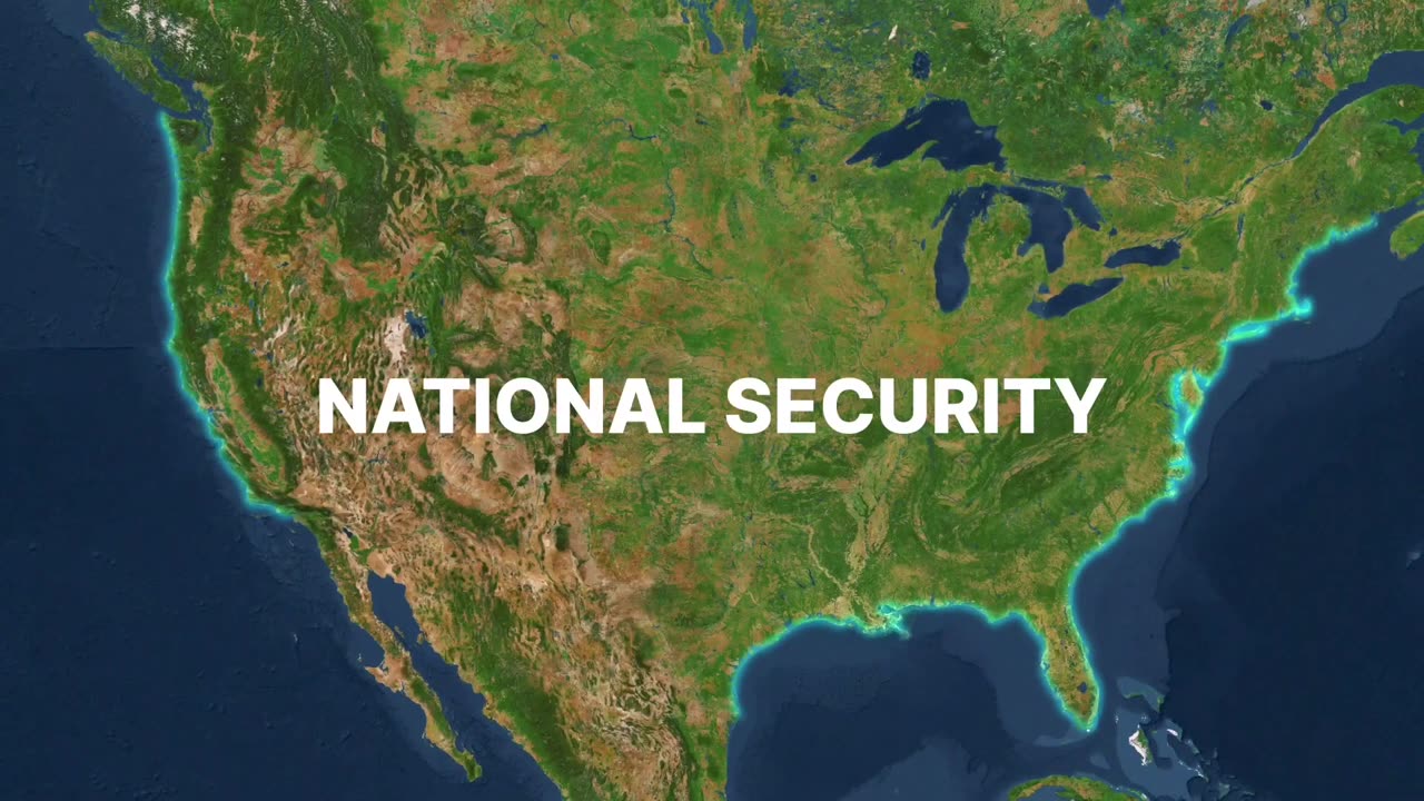
National Security via Department of Defense Collaboration: The video, beginning at 2 minutes and 54 seconds, elucidates the partnership between SWOT and the Department of Defense, enhancing national security through water data insights.
Coastal Preservation in the Mississippi River Delta: At the 3-minute and 24-second mark, the video underscores how SWOT contributes to safeguarding the Mississippi River Delta's coastal regions.
Anticipated to launch in December 2022 from Vandenberg Space Force Base in California, the SWOT mission is a collaborative endeavor involving NASA, CNES, the Canadian Space Agency, and UK Space Agency. The United States component of the project is spearheaded by JPL, overseen by Caltech in Pasadena, California. This groundbreaking initiative holds promise in reshaping how communities worldwide plan for a more sustainable future.
-
 2:17:37
Inverted World Live
4 hours agoSecond-Generation Exorcist | Ep. 89
16.1K7 -
 1:47:40
Badlands Media
11 hours agoBaseless Conspiracies Ep. 145
91.1K39 -
 2:50:50
TimcastIRL
5 hours agoTrump Deploys National Guard To DC, Federalizes Police, Liberals Protests Take Over| Timcast IRL
194K64 -
 2:27:36
Barry Cunningham
8 hours agoBREAKING NEWS: PRESIDENT TRUMP ABSOLUTELY NUKED WASHINGTON D.C. AND THE MEDIA!
74.8K43 -
 LIVE
LIVE
Drew Hernandez
10 hours agoTRUMP'S DC TAKEOVER & ISRAEL KILLS AL JAZEERA TEAM AHEAD OF GAZA INVASION
451 watching -
 1:19:05
Glenn Greenwald
6 hours agoTrump's DC Takeover: Is it Legal? Israel Kills More Journalists, Including Anas al-Sharif; Glenn Reacts to Pete Buttigieg and JD Vance on Israel | SYSTEM UPDATE #501
129K112 -
 44:40
44:40
Katie Miller Pod
6 hours ago $4.46 earnedEpisode 1 - Vice President JD Vance | The Katie Miller Podcast
46.9K13 -
 13:09:34
LFA TV
1 day agoLFA TV ALL DAY STREAM - MONDAY 8/11/25
224K20 -
 1:44:36
RiftTV
8 hours agoBREAKING: Trump FEDERALIZES D.C. To RESTORE Law & Order | The Rift | Ryan Matta, Olivia Krolczyk + Braeden Sorbo
61K16 -
 3:00:47
megimu32
6 hours agoOTS: Breakfast Nostalgia + Blind Chocolate Cereal Showdown… LIVE! 🍫🥣
53.9K2