Southern California aerial imaging experts | Sieve Aeronautical Imaging
Capturing More Than Images - Discover the Possibilities with Sieve Aeronautical Imaging.
From breathtaking landscapes to towering construction sites, we redefine what aerial imaging can achieve. With a team of FAA-certified experts and years of experience, we bring precision and expertise to every project.
Our services go beyond visuals - we provide accurate georeferenced orthomosaics, 3D models, and elevation data. Quality and attention to detail define our process, ensuring results that exceed expectations.
Join satisfied clients who have experienced the game-changing impact of working with us. Elevate your projects with Sieve Aeronautical Imaging. Contact us today and let us bring your vision to new heights.
Sieve Aeronautical Imaging - Where Aerial Imaging Meets Excellence. See Beyond, Capture Progress, Elevate Possibilities.
#SieveAeronauticalImaging #AerialImaging #PrecisionDrones #ElevateYourProjects #CaptureProgress #ExpertiseInAction
-
 0:48
0:48
SieveAeroImaging
11 months agoSieve Aeronautical Imaging
12 -
 0:32
0:32
SieveAeroImaging
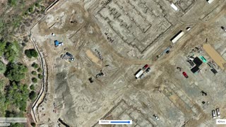
10 months agoConstruction Aerial Imaging | Sieve Aeronautical Imaging
2 -
 2:47
2:47
Real Estate Photo Editing
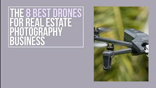
2 years agoThe 8 Best Drones You Must Discover for Real Estate Photography Business
66 -
 0:18
0:18
jjonsion885
1 year agoAerial photography scenic spot
7.35K -
 0:18
0:18
jjonsion901
1 year agoAerial photography scenic spot
7.99K -
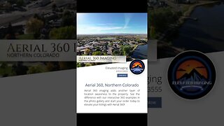 0:38
0:38
Elevated Archives
6 months ago $0.01 earnedAerial 360° Imaging in Northern Colorado
94 -
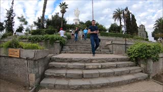 6:03
6:03
Chiletravel
5 years agoDrone aerial view San Cristobal hill in Santiago, Chile
1 -
 1:30:16
Cosmosboy
1 year agoNASA ARSET: Biodiversity Applications for Airborne Imaging Systems, Part 2/4
13 -
 1:27
1:27
buriednews
6 years agoPhotographer Takes His Craft To The Next Level Using A Drone And The Results Are Breathtaking
15 -
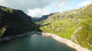 1:00
1:00
Scenic Relaxation Films
2 years agoDifferent Aerial Views Of Mountains And Body Of Water
51