SWOT: Earth Science Satellite for a Resilient Future
Discover how a pioneering Earth science mission is shaping a more resilient future for communities worldwide. Join NASA and the French space agency CNES in their mission to survey Earth's salt and freshwater bodies with the Surface Water and Ocean Topography (SWOT) satellite. As climate change transforms the water cycle, SWOT's innovative data collection will be a game-changer in flood forecasting, drought monitoring, and water management.
Watch as experts from diverse fields share insights on how SWOT's vital data will empower communities and professionals:
A National Weather Service representative in Oregon demonstrates the impact of flood watches and warnings.
An Alaska Department of Transportation engineer highlights water management strategies at Fern Ridge Lake.
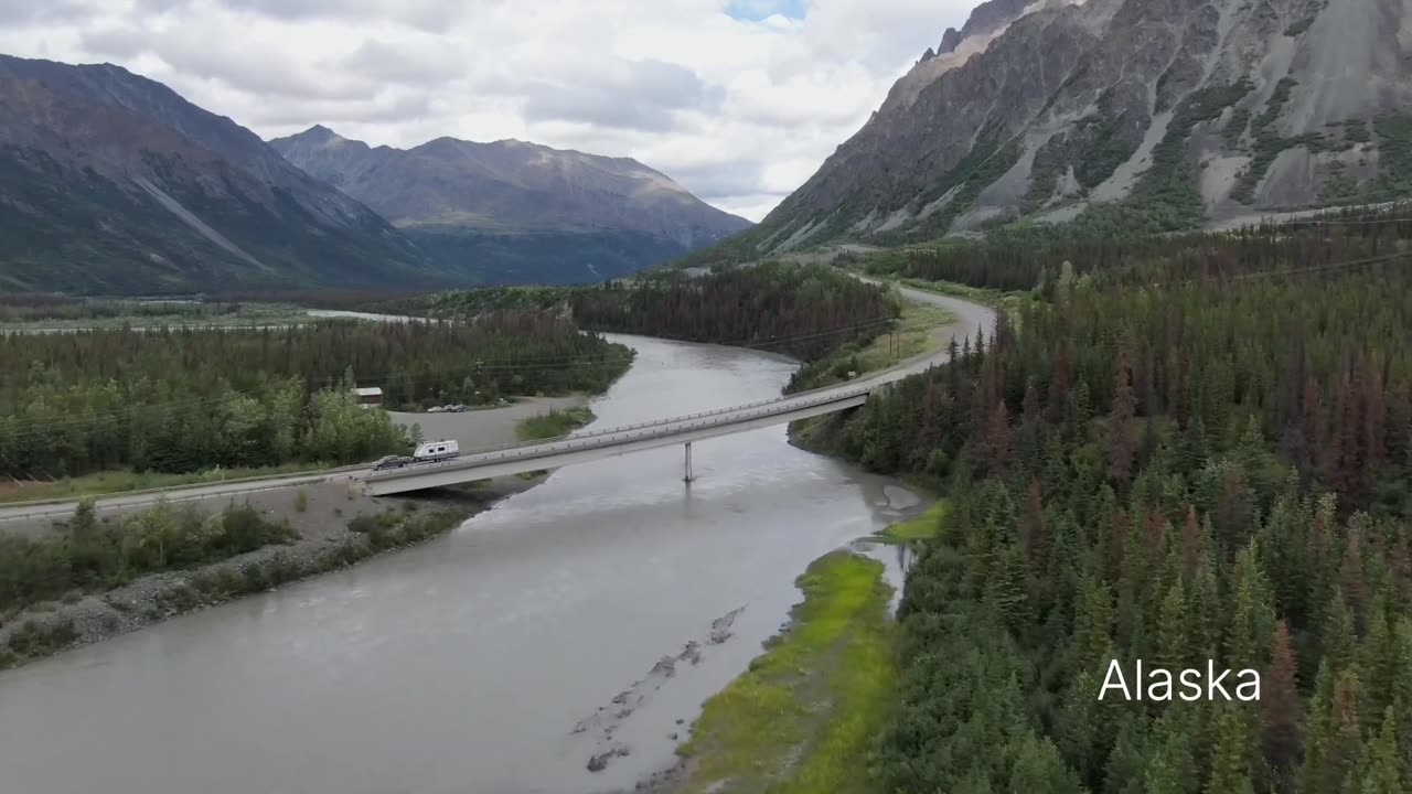
Discover how SWOT safeguards infrastructure in Alaska.
Delve into the intersection of national security and Earth science with the Department of Defense.
See how SWOT contributes to coastal protection in the Mississippi River Delta.
SWOT's anticipated launch from Vandenberg Space Force Base, California, in December 2022 marks a collaborative effort between NASA, CNES, the Canadian Space Agency, and UK Space Agency. The U.S. component, led by JPL, brings together experts dedicated to a more resilient future.
Join us in embracing the future with SWOT's revolutionary insights, as we work together to build a world better prepared for the challenges of a changing planet.
Stay informed, inspired, and prepared. Hit subscribe and be part of the movement for a resilient future.
-
 LIVE
LIVE
TheSchleppy
6 hours ago✨TheSchleppy✨EWC COUNTER STRIKE 2 GRAND FINAL *MONGOLZ v AURORA*
66 watching -
 6:34:50
SpartakusLIVE
15 hours ago#1 Saturday Spartoons on RUMBLE PREMIUM
131K7 -
 1:04:59
Man in America
16 hours ago“Summoning the Demon” — The AI Agenda Is FAR WORSE Than We Know w/ Kay Rubacek
67K52 -
 2:16:48
Tundra Tactical
14 hours ago $0.15 earned🎯💥 The World’s Okayest Gun Show 🔫😂 | LIVE Tonight on Rumble!
49.2K1 -
 3:36:03
Mally_Mouse
1 day ago🌶️ 🥵Spicy BITE Saturday!! 🥵🌶️- Let's Play: Tower Unite!
70.2K3 -
 58:59
58:59
MattMorseTV
14 hours ago $1.82 earned🔴Trump just BROKE Newsom.🔴
94.7K106 -
 18:14
18:14
Her Patriot Voice
14 hours agoWho Is WORSE for NYC: Trump Girl or Socialist?
69.7K36 -
 3:39:42
SavageJayGatsby
14 hours agoSpicy Saturday with Mally! | Road to 100 | $300 Weekly Goal for Spicy Bites!
60.9K1 -
 3:35:50
FomoTV
15 hours ago🚨 Swamp Theater: FBI Raids Bolton 🕵 Still NO Epstein Files, Trump's Troops & the Red Heifer Hoax 🐂 | Fomocast 08.23.25
29.7K7 -
 6:04:40
Akademiks
19 hours agoRoc Nation & Meg Thee Stallion did a 7 HOUR Deposition with me. Drake Secret Kid Finally Revealed.
64.9K3