Surface, Water and Ocean Topography.
2 years ago
9
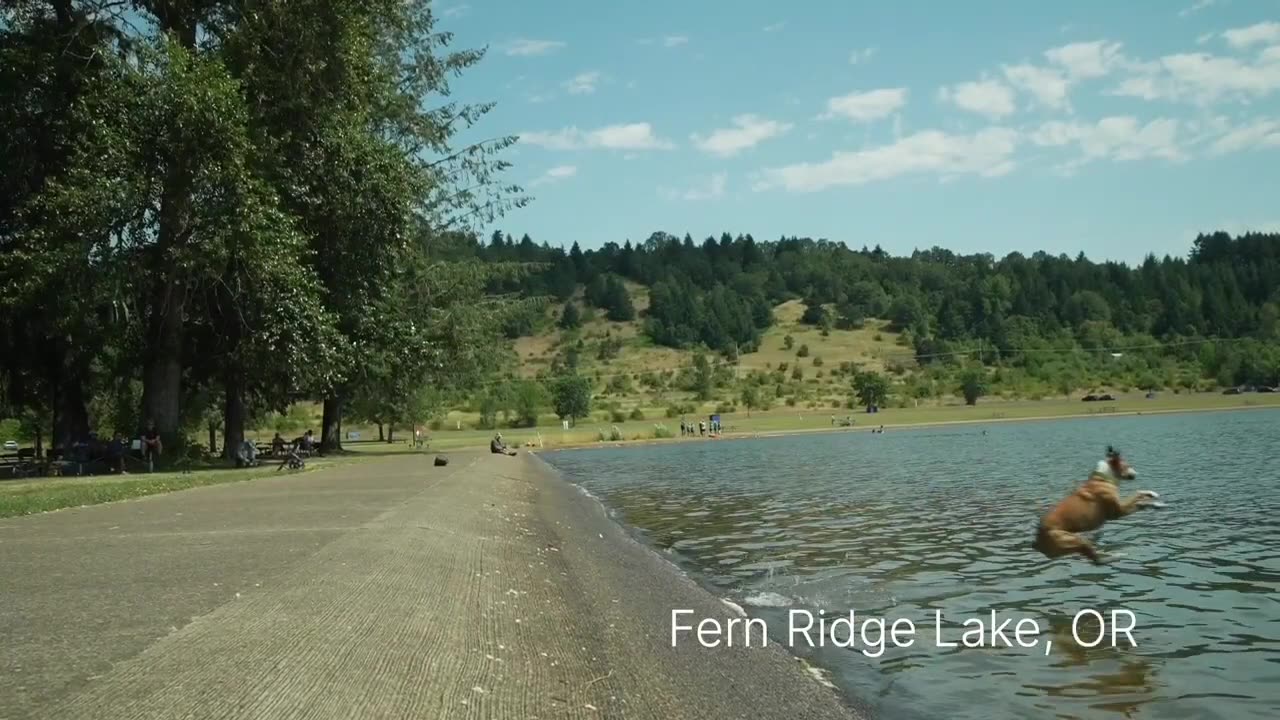
Exploring the oceans, seas, lakes, and rivers. This scientific field involves measuring the elevation and contours of water surfaces, revealing vital information about ocean currents, tides, and sea level changes. By utilizing advanced satellite technology and remote sensing techniques, researchers gain insights into the dynamic interactions between land and water, contributing to our understanding of climate patterns, marine ecosystems, and coastal vulnerabilities. Surface water and ocean topography play a crucial role in monitoring and managing our planet's aquatic environments, aiding in disaster preparedness and sustainable resource management."
Loading comments...
-
 41:55
41:55
The Rubin Report
1 hour agoListen to ‘The View’ Crowd Gasp as Whoopi Lies to Their Faces
20.1K3 -
 1:01:04
VINCE
2 hours agoTop Democrat Says the Quiet Part Out Loud | Episode 153 - 10/23/25
149K87 -
 LIVE
LIVE
LFA TV
13 hours agoLIVE & BREAKING NEWS! | THURSDAY 10/23/25
3,988 watching -
 LIVE
LIVE
Nikko Ortiz
1 hour agoHalloween Death Devices In Real Life... |Rumble Live
117 watching -
 LIVE
LIVE
Benny Johnson
2 hours agoIllegal Alien Trucker Released By Biden KILLS Three in DEADLY DUI Crash, California License SCANDAL
4,263 watching -
 LIVE
LIVE
Major League Fishing
7 days agoLIVE! - Fishing Clash Team Series: Patriot Cup - Day 2
192 watching -
 LIVE
LIVE
Side Scrollers Podcast
3 days ago🔴FIRST EVER RUMBLE SUB-A-THON🔴DAY 3🔴WAKE YOUR ASS UP!
1,139 watching -
 LIVE
LIVE
The Big Mig™
2 hours agoTrump Invades Venezuela
4,644 watching -
 1:33:59
Graham Allen
3 hours agoDems PANIC as Shutdown Backfires! Fake News MELTS Down Over New Pentagon Press Corps!
101K54 -
 LIVE
LIVE
Badlands Media
8 hours agoBadlands Daily: October 23, 2025
3,600 watching