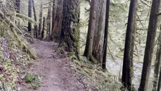
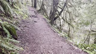
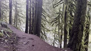
A tour of my hike from Conner Park to Two Rivers Park
I used the Hiking Project app to record my walk down to Two Rivers Park. https://play.google.com/store/apps/details?id=com.hikingproject.android
It took 1 hour to hike down and the trip was 2 hrs. & 35 mins. total with a short time for photos and stopping along the way.
A sign advertising the Central Arkansas Trail Alliance and an invitation to volunteer was spotted. https://www.centralartrail.com
Down at the river, an ad for kayak tours and rental was investigated. They rent bicycles too and have an office down at the River Market. https://rocktownriveroutfitters.com
Other resources: https://aboutlittlerock.com/visit-the-two-rivers-bridge-pedestrian-bridge-in-little-rock-arkansas/
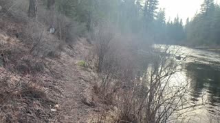
I know Two Rivers Park most from walking on the Big Dam Bridge across the Arkansas River from Murray Park or Cook's Landing Park on the North Little Rock side of the river.
It's great for bicycling and has a boat launch accessing the Little Maumelle River where the two rivers converge.
I'm not sure but I think one can swim within the bouy marked area, which is what makes it so valuable because the main channel is too fast moving to be safe for that although, I did see a couple people on personal watercraft so I assume that is legal.
Because the Little Maumelle flows slower, it's used by kayaks and stand up paddle boards that have their own dock to launch from separate from the boat ramp.
Fishing is also possible here and
-
 3:22
3:22
HikingViking
2 years agoHiking Above Salmon River in Rainforest Paradise – Mount Hood – 4K
10 -
 3:03
3:03
HikingViking
2 years agoHiking Steep Old Growth Rainforest Salmon River Trail – Mount Hood – 4K
392 -
 2:31
2:31
HikingViking
2 years agoRainforest River Trail Exploring – Salmon River – Mount Hood – 4K
5 -
 2:18
2:18
HikingViking
2 years agoHiking Beside Wizard Falls Fish Hatchery – Metolius River – Central Oregon – 4K
232 -
 0:57
0:57
HikingViking
2 years agoHiking Along Metolius River Near Allen Springs Campground – Central Oregon
5 -
 0:59
0:59
HikingViking
2 years agoHiking the Old Growth Rainforest – Salmon River – Mount Hood – 4K
15 -
 3:49
3:49
HikingViking
2 years agoHiking Through Old Growth Rainforest – Salmon River – Mount Hood – 4K
112 -
 3:01
3:01
HikingViking
2 years agoHiking the Thetis Section – Kachess Lake – Okanogan-Wenatchee – Washington – 4K
52 -
 6:42
6:42
HikingViking
2 years agoHiking the Box Canyon Section of Kachess Lake Campground – Okanogan-Wenatchee – Washington – 4K
7 -
 1:28
1:28
HikingViking
2 years agoAbsolutely EPIC Rainforest Trail Overlooking Wild & Scenic Salmon River – Mount Hood – 4K
15