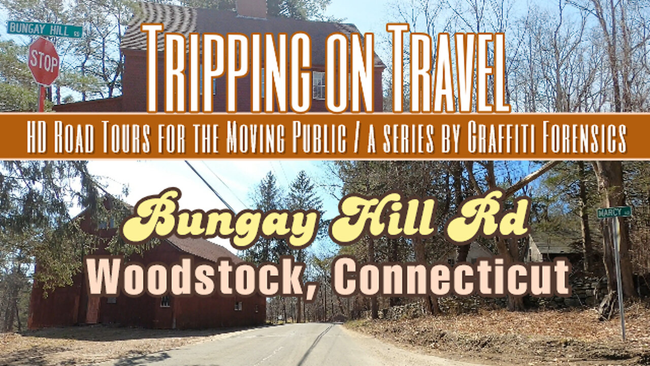
Tripping on Travel: Bungay Hill Rd, Woodstock, CT
Video quality has been improved as of this production. In this video, I drive from beginning to end of Bungay Hill Rd in West Woodstock, Connecticut. As one can see from the map in the video, the road serves as a shortcut between Rt 171 on the east side of Lake Bungee and to Rt 198 located west of the lake. Very little about Bungee Lake is included in this video. At best, when I drove on Bungay Hill Rd, I drove past the very north end of Lake Bungee. You can get a brief glimpse of it in the video, but only as I drive by it. The spelling of the lake's name varies online. But I've always known it to be "Bungee". Some sources spell it as "Bunggee". A few sources use both spellings. Even maps will disagree. Bing shows it as "Lake Bungee", while others choose the two G spelling. Both Witches Wood Lake and Bungee Lake are "census designated places". Outside of that, there is not much to find about Lake Bungee's history.
Möbius Surface by | e s c p | https://escp-music.bandcamp.com
Music promoted by https://www.free-stock-music.com
Attribution 4.0 International (CC BY 4.0)
https://creativecommons.org/licenses/by/4.0/
Maps of routes by Bing Maps. My only task was to trace my driving route from A (start) to B (end) to match the footage that follows it.
Other Graffiti Forensics channels and pages
http://www.youtube.com/c/GraffitiForensics
https://www.facebook.com/GForensics/
https://www.bitchute.com/channel/graffitiforensics/
-
 8:39:34
SpartakusLIVE
11 hours agoSPECIALIST Easter Egg ALL DAY || Duos w/ StevieT
52.6K1 -
 1:14:47
FreshandFit
9 hours agoTop 5 Business Credit Cards
88.9K8 -
 5:32:23
iCheapshot
9 hours ago $2.45 earnedPart 2 of a12cat34dog's Ben and Ed No Rage Quit Challenge!
50.9K -
 1:49:53
Glenn Greenwald
13 hours agoDOGE: Promises vs. Reality; Ukraine's Drone Attacks on Russian Air Bases; Gaza Ceasefire Deal Developments | SYSTEM UPDATE #463
146K88 -
 2:13:34
RiftTV/Slightly Offensive
11 hours agoZelensky Declares WAR on RUSSIA.. Trump FUMING Over Surprise ATTACK | The Rift | Guest: Sarah Stock
78.8K97 -
 4:01:13
a12cat34dog
9 hours ago2011 GAME PREDICTS 2027 :: Homefront :: AMERICA HAS FALLEN {18+}
49.1K3 -
 2:37:10
PudgeTV
13 hours agoMod Mondays Special Ep | Gaming on Rumble Ambassadors | The Rumble Takeover
78.7K6 -
 1:52:43
Dome After Dark
10 hours agoDome After Dark: Monday Night Hangout!
25.1K1 -
 8:50:06
RyuMuramasa✧
10 hours agoLimveld's Destiny | Elden Ring Nightreign | LIVE Full Walkthrough!
16.7K -
 1:52:45
Robert Gouveia
12 hours agoTrump at SUPREME COURT! Election Lawsuit ACCEPTED! Gun Rights IGNORED!
60.6K14