Stevens Canyon: Slide Trail, 3rd Visit
Another return visit to this old trail to check out some more of the small waterfalls along the creek. Really interesting checking out features visible on the map then going to that feature to see what it looks like in person.
I also wanted to see if I could find the extension of the trail I followed on the other side of the creek earlier this year.
Interesting to find all the rounded gravel up on the side of the canyon. I've also seen this on the other side of the canyon, for example the road over there is mostly gravel which is why it's in such great shape.
USGS National Map Viewer w/ Hill Shade layers:
https://apps.nationalmap.gov/viewer/
This whole area is part of a single 40 acre parcel of land that the Open Space district purchased around 2001, per the newspaper article. I haven't been able to find out about anything that was located here prior to district clearing the land shortly after acquisition. Here's a demolition project for an adjoining parcel of land, acquired from the same owner in 2013, that was cleared in 2014:
https://www.openspace.org/sites/default/files/CGI-BIN/agendas_minutes/2014.07.23_Lobner_AwardofContract_Demolition_r-14-97.pdf
More to come...
Subscribe for more content like this
Comment, rate, share & click the bell icon
And as always, thanks for watching
#USGS #HillShade
-
 6:34
6:34
4Crawler
1 year agoStevens Canyon - "Slide Trail". Return Visit
2 -
 4:27
4:27
4Crawler
2 years agoOld 1895 Stevens Canyon Road - Along the Grizzly Flat Trail
2 -
 1:00
1:00
HikingViking
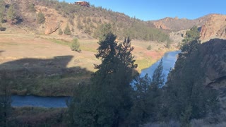
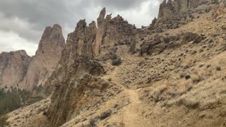
2 years agoHiking Down Steep Canyon Trail – Smith Rock State Park – Central Oregon
243 -
 2:43
2:43
HikingViking
2 years agoHiking Down Secluded Canyon Side Trail – Smith Rock State Park – Central Oregon – 4K
13 -
 2:23
2:23
HikingViking
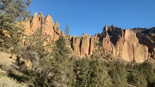
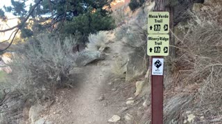
2 years agoCentral Oregon – Smith Rock State Park – Exploring Side Trails – 4K
24 -
 1:13
1:13
HikingViking
2 years agoCentral Oregon – Smith Rock State Park – Down the Canyon Trail – 4K
30 -
 6:16
6:16
HikingViking
2 years agoExploring the Scenic Deschutes River Trail – Central Oregon – 4K
278 -
 0:38
0:38
HikingViking
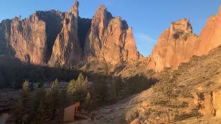
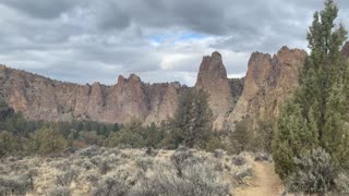
2 years agoCentral Oregon – Smith Rock State Park – Hiking the Canyon Ridge
241 -
 1:02
1:02
HikingViking
2 years agoHigh Desert Trail Junction – Smith Rock State Park – Central Oregon
23 -
 0:33
0:33
HikingViking
2 years agoCentral Oregon – Smith Rock State Park – Exploring the Canyon
53