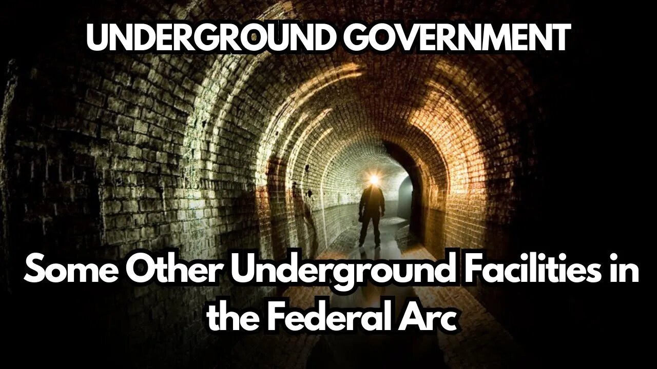
Some Other Underground Facilities in the Federal Arc | UNDERGROUND GOVERNMENT
The Office of Emergency Preparedness (OEP, now known as FEMA)
built a ‘hardened’ (protected against nuclear attack) underground
facility in 1971 at 5231 Riggs Road (Gaithersburg), near junction of
Routes 97 and 108, beneath a cow pasture, in Montgomery County,
MD, between Olney and Laytonsville. It is entered by a staircase from a
small surface building, although there is a horizontal entrance that is
used to unload freight. The Federal Regional Center at the Olney
Special Facility had served as the Alternate National Warning Center
(contained a National Civil Defense Computer system) and was one of
two centers (the other being at the North American Aerospace Defense
Command or NORAD in Cheyenne Mountain) that would issue a
warning in case of a nuclear attack on the United States. It was
believed by some to be at least 10 levels deep, however the report of 2
levels seems to be more realistic. It takes up an area of 65,000 square
feet. With the Warning Center supposedly transferred to Thomasville,
Georgia, it now serves as a Satellite Teleregistration Facility, along
with other Regional Centers.
There was a bunker located under the north lawn of the National Park
Service’s Stephen P. Mather Training Center (formerly Storer College)
off Fillmore Street in Harper’s Ferry, Virginia. It was to be the
emergency relocation center (ERC) for the Department of Interior.
Containing only pedestrian access, the door is set into a retaining wall
adjacent to the driveway. The facility is now used by the NPS The Office of Emergency Preparedness (OEP, now known as FEMA)
built a ‘hardened’ (protected against nuclear attack) underground
facility in 1971 at 5231 Riggs Road (Gaithersburg), near junction of
Routes 97 and 108, beneath a cow pasture, in Montgomery County,
MD, between Olney and Laytonsville. It is entered by a staircase from a
small surface building, although there is a horizontal entrance that is
used to unload freight. The Federal Regional Center at the Olney
Special Facility had served as the Alternate National Warning Center
(contained a National Civil Defense Computer system) and was one of
two centers (the other being at the North American Aerospace Defense
Command or NORAD in Cheyenne Mountain) that would issue a
warning in case of a nuclear attack on the United States. It was
believed by some to be at least 10 levels deep, however the report of 2
levels seems to be more realistic. It takes up an area of 65,000 square
feet. With the Warning Center supposedly transferred to Thomasville,
Georgia, it now serves as a Satellite Teleregistration Facility, along
with other Regional Centers.
There was a bunker located under the north lawn of the National Park
Service’s Stephen P. Mather Training Center (formerly Storer College)
off Fillmore Street in Harper’s Ferry, Virginia. It was to be the
emergency relocation center (ERC) for the Department of Interior.
Containing only pedestrian access, the door is set into a retaining wall
adjacent to the driveway. The facility is now used by the NPS
UNDERGROUND GOVERNMENT
Cold War era underground government facility
Strategies for Climate Change Adaptation
Massive Nuclear Arsenal Hidden in Arizona | History
Bunkers beyond the Beltway
secret government bunkers
secret u.s. bunkers
presidential emergency facilities
what happened to all the fallout shelters
where does the president go in an emergency
fallout shelters 1950s
bunkers in maryland
emergency federal register
#history #booksreader #historybooks #knowledge
-
 LIVE
LIVE
Matt Kohrs
9 hours agoStocks Push New Highs, Breaking Market News & Live Trading $1M w/ AI
833 watching -
 LIVE
LIVE
Wendy Bell Radio
6 hours agoNo One Is Above The Law
9,313 watching -
 LIVE
LIVE
LFA TV
12 hours agoLFA TV ALL DAY STREAM - THURSDAY 7/24/25
3,966 watching -
 1:21:47
JULIE GREEN MINISTRIES
3 hours agoUNPRECEDENTED MOVES ARE BEING MADE TO BRING BACK THE GOLD STANDARD IN THIS NATION
100K113 -
 1:26:49
Chicks On The Right
3 hours agoKohlberger gets BLASTED, Macrons sue Candace, Tulsi goes after Obama, and more on Epstein files
19.3K -
 LIVE
LIVE
Welcome to the Rebellion Podcast
12 hours ago $0.60 earnedI Feel Fine - WTTR Podcast Live 7/24
265 watching -
 1:20:39
Game On!
16 hours ago $1.68 earnedCommanders Are Built To WIN NOW! 2025 Preview!
26.4K2 -
 LIVE
LIVE
The Bubba Army
23 hours agoGhislaine Maxwell to Testify! - Bubba the Love Sponge® Show | 7/24/25
1,871 watching -
 16:50
16:50
Chris From The 740
2 hours ago $0.42 earnedI Didn’t Expect to Like This Fan So Much – Ogery F11 Review!
10.8K -
 8:11
8:11
Millionaire Mentor
16 hours agoJohn James SHUTS DOWN AOC With One BRUTAL Sentence
22K19