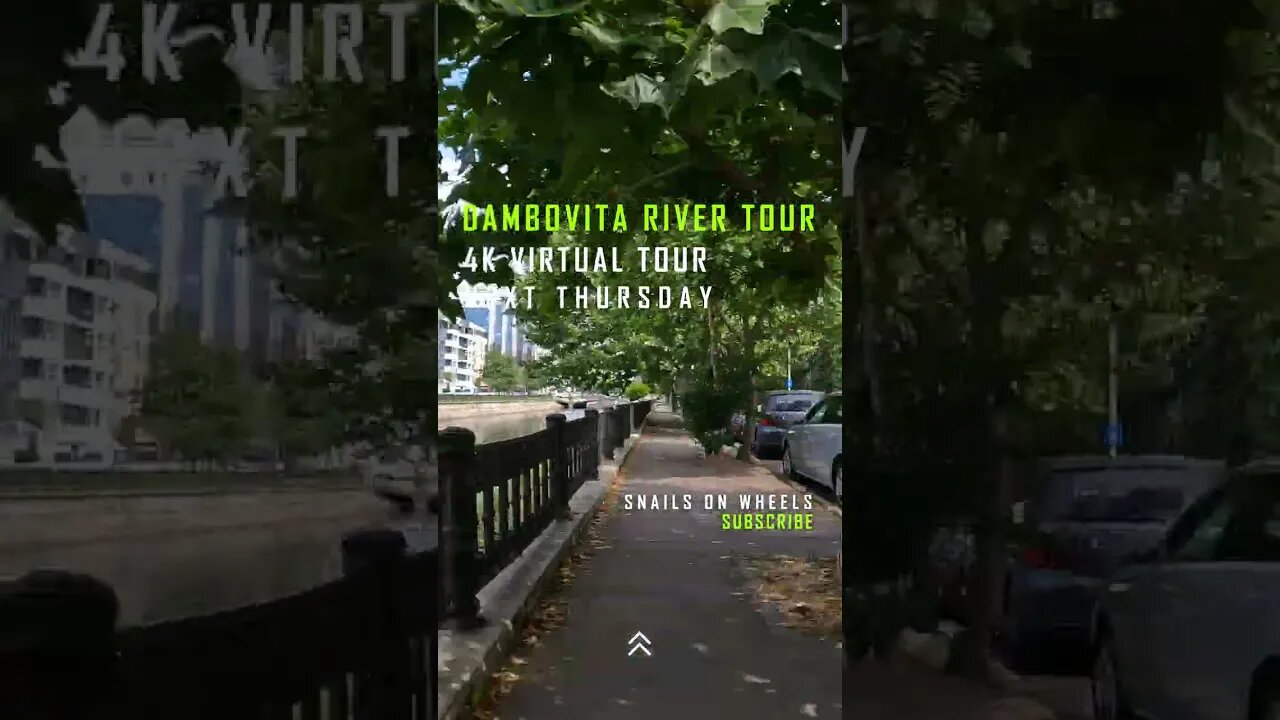
Dambovita River Banks - Trailer, BUCHAREST | 4k Virtual Tour | #shorts
#virtualtour #bikeride #mtblife #shortsfeed #shortsyoutube #shortsvideo #shortfeed #shortvideo #cyclingworkout #indoorcycling #4kride #romania #shortsfeed #shortsbeta #shortfeed
JOIN US :
https://www.youtube.com/channel/UCib-JDIHF_Btivu010jNd5g?sub_confirmation=1
https://www.instagram.com/snails_on_wh33ls/?hl=ro
https://www.tiktok.com/@snailsonwheelz?lang=en
https://www.facebook.com/snailsonwheels
This trailer features images from the 4k Virtual Tour Dambovita River Banks episode, in Bucharest, Romania.
The Dambovita is a river in Romania. It has its sources on the Curmătura Oticului, a mountain pass that separates the Iezer Mountains from the Făgăraș Mountains proper. It passes through Bucharest and flows into the river Argeș near Budești, in Călărași County. Its length is 286 km (178 mi) and its basin size is 2,824 km2 (1,090 sq mi). Dâmbovița County is named after the river.
For centuries, Dâmbovița was the main source of drinking water for the city of Bucharest. While there were a few dozen water wells, most of the water in Bucharest was distributed by water-carriers.[5]
Bucharest folklore mentions the waters of Dâmbovița as "sweet", and even at the beginning of the 18th century, Anton Maria del Chiaro considered it "light and clean". However, toward the end of the 18th century, as the population of Bucharest increased, the river ceased to be as clean, and hence the need of the aqueducts. The earliest aqueducts with public fountains (cișmele) were built during the rule of Prince Alexander Ypsilantis.[5]
Many watermills were built on the Dâmbovița, most of them owned by the prince, the monasteries or boyars.
Dâmbovița used to have two tributaries in Bucharest:
Dâmbovicioara, on the right bank, which probably flowed in what is the area where Sființii Apostoli street is located.
Bucureștioara, which rose from a pond located in what is now Grădina Icoanei.
Additionally, there was a branch, Gârlița, which formed an island, Ostrovu.
The Dâmbovița often flooded Bucharest, especially the left bank, which was lower. After the great 1775 flood, Ypsilantis ordered a branch canal to be built, in order to prevent, or at least diminish the effects of such flooding; in 1813, Prince Ioan Caragea decided to clean up the river bed.[5] The portion of the river flowing through the capital was channelled twice: in 1883 (to combat regular floods), and in the late 1970s, to aid in the replanning of the Central area and the construction of the Bucharest Metro. To prevent floods, in 1986 a dam was built between the Crângași and Militari quarters, and Morii Lake artificial lake was created.[6]
Dâmbovița has never been navigable, but there has been an unsuccessful attempt in 1902 to introduce boats on the river.[7]
Early in its history, Bucharest had few bridges over the Dâmbovița, as the right bank was only sparsely populated. The estates of some boyars used to extend on both banks of the river and they had footbridges.[5] Currently, there are sixteen bridges over Dâmbovița River in central Bucharest.
Source : https://en.wikipedia.org/wiki/D%C3%A2mbovi%C8%9Ba_(river)
-
 1:58:54
The Charlie Kirk Show
3 hours agoThe Obamagate Grand Jury + The Mamdani/Warren Alliance | Prof. Steele, Brand | 8.5.2025
53.4K22 -
 1:20:03
Sean Unpaved
3 hours agoNFL Coaching Edge: Top Staffs, Rookie Head Coaches, & NFC South Breakdown
23.5K -
 LIVE
LIVE
Viss
4 hours ago🔴LIVE - Adrenaline Infused PUBG Tactics The Get Wins! - PUBG
271 watching -
 16:22
16:22
Clickbait Wasteland
19 hours ago $1.20 earnedAsking New Yorkers Who They Support For Mayor: Upper West Side
15.2K8 -
 LIVE
LIVE
StoneMountain64
2 hours agoBATTLEFIELD 6 BETA Training and Prepping
146 watching -
 38:51
38:51
Members Club
2 hours ago $0.48 earnedWNBA Madness, Biohacker Oversharing, & Red-Pilled Denim
17.7K3 -
 2:07:23
Side Scrollers Podcast
4 hours agoCENSORSHIP PUSH JUST HIT OVERDRIVE, H3H3 LAWSUIT EXPOSES REDDIT MODS + MORE | SIDE SCROLLERS LIVE
16.9K -
 1:22:36
Simply Bitcoin
4 hours ago $1.53 earnedBREAKING: Trump ENDS Bankers ATTACK on YOUR SAVINGS! | EP 1303
15.9K7 -
 1:01:27
Timcast
4 hours agoTrump Asylum Ban HALTED By Judge, DOJ Could ESCALATE To Supreme Court
146K90 -
 2:07:39
Steven Crowder
6 hours agoIs America First Dead?
362K344