Premium Only Content

Ice-Free Antarctica The 1531 Oronteus Finaeus Map Ancient Architects
This video claims that historic cartographers knew about the landmass of Antarctica, which today, and for many millions of the years has been covered with thick ice sheets.
The Piri Reis Map and the Philippe Buache maps were used as evidence by Charles Hapgood that the history and science of the south pole are wrong, and that there must have been an ancient civilisation that once mapped the lost continent and this knowledge was passed down through time.
Well, as we’ve discussed, the Piri Reis Map is likely showing South America and the Philippe Buache map is hypothetical, as outlined by the cartographer himself. Neither map is evidence that Antarctica was ever ice free in human memory and certainly not evidence for a lost civilisation.
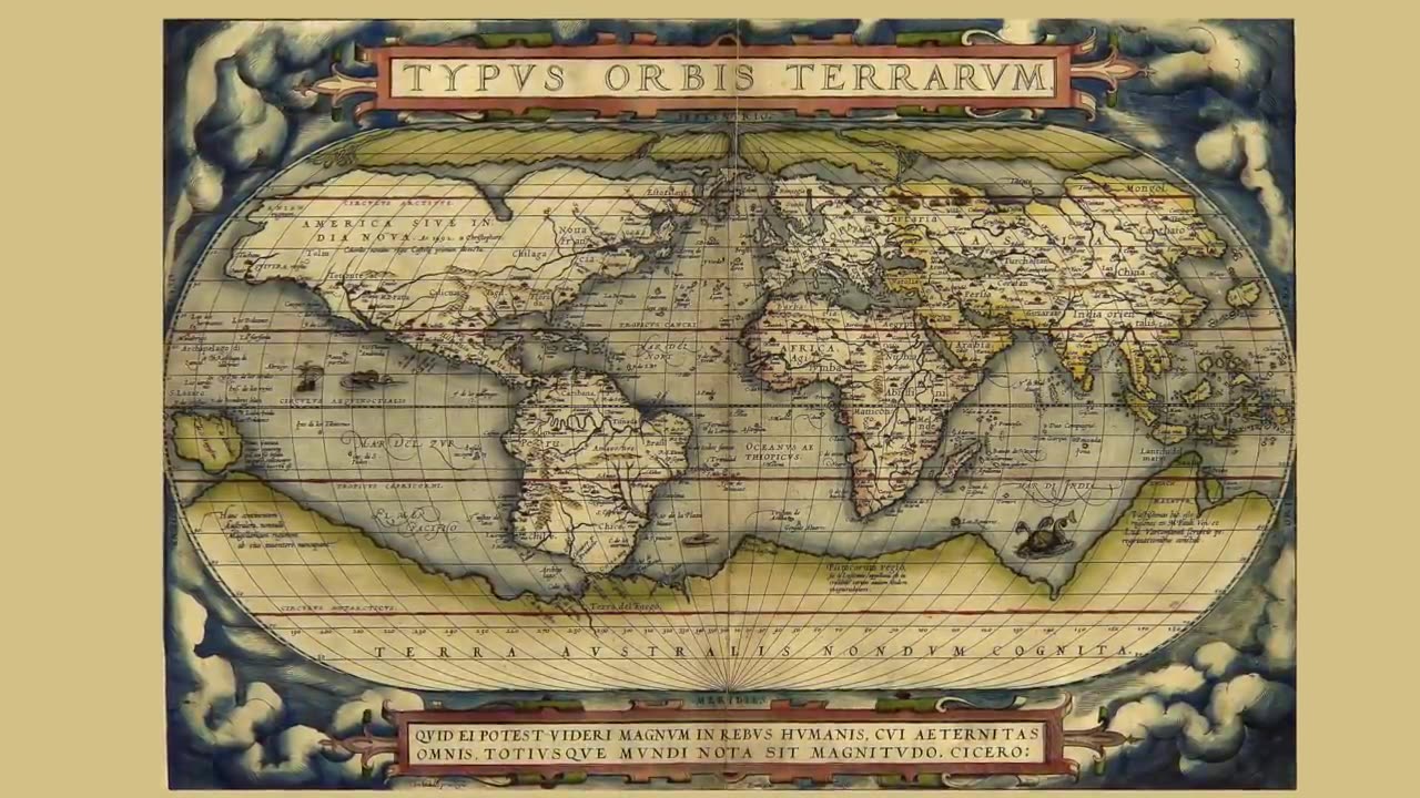
But there is also a third map, known as the Orontius Finaeus Map of 1531 and here you can see a continent at the South Pole in all its glory. Those that promote this map as evidence for an ice-free Antarctica say it is at the correct scale, with key features as precise longitudes, which, if true, means it is a far better map of Antarctica than the famous Piri Reis map.
So is it true? Did Orontius Finaeus show an ice-free Antarctica in 1531 and if so, how could this be? Watch the video to find out.
-
 18:13
18:13
What If Everything You Were Taught Was A Lie?
15 days agoYes The Fix Is In Ten Of Million Ballot Glitches & Voters Turned Away By Cops, What's Going On
3.43K7 -
 4:08:29
Nerdrotic
15 hours ago $83.74 earnedHollywood in PANIC! Woke Celebrity Meltdown, Penguin Finale CRUSHES! | Friday Night Tights #328
183K33 -
 1:41:22
The Officer Tatum
10 hours agoLIVE: Trump NOMINATES Karoline Leavitt, Whoopi "SMOLLETT" EXPOSED, & MORE | Officer Tatum Show EP 8
65.9K185 -
 30:25
30:25
Glenn Greenwald
12 hours agoGlenn Takes Your Questions Post-Election On The Trump Admin & More
169K67 -
 1:26:23
vivafrei
15 hours agoChinese and Indian INFILTRATION in Canadian Government? Live with David Krayden! Viva Frei Live
201K118 -
 52:17
52:17
Candace Show Podcast
15 hours agoFight Night! Me VS Marc Lamont Hill On Transgenderism | Candace Ep 104
197K398 -
 1:12
1:12
Mike Tyson
15 hours ago $30.55 earnedIt's a war.
147K62 -
 1:04:11
In The Litter Box w/ Jewels & Catturd
1 day agoProsecute/Fauci | In the Litter Box w/ Jewels & Catturd – Ep. 692 – 11/15/2024
161K64 -
 5:17
5:17
BFFs: Dave Portnoy, Josh Richards & Bri Chickenfry
10 days agoSmallest Man
292K25 -
 1:45:03
The Quartering
17 hours agoRFK Big Pharma Meltdown, Alex Jones WIN & Shadow Government To Oppose Trump!
171K48