Premium Only Content

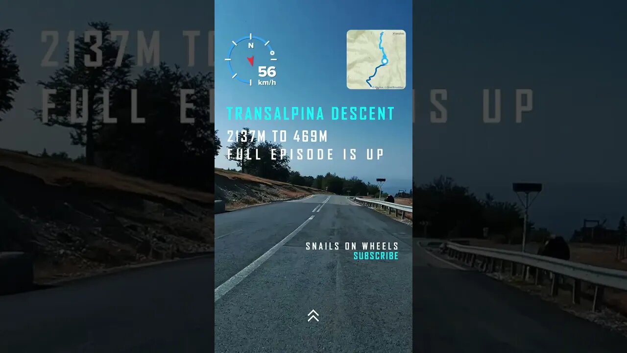
Transalpina GRAVITY RUN - 2139m to 469m - 4k BIKE RIDE | #shorts | 🇷🇴
#transalpina #bikeride #mtblife #shortsfeed #shortsyoutube #shortsvideo #shortfeed #shortvideo #cyclingworkout #indoorcycling #4kride #romania #shortsfeed #shortsbeta #shortfeed
JOIN US :
https://www.youtube.com/channel/UCib-JDIHF_Btivu010jNd5g
https://www.instagram.com/snails_on_wh33ls/?hl=ro
https://www.tiktok.com/@snailsonwheelz?lang=en
https://www.facebook.com/snailsonwheels
The Transalpina or DN67C is a 148 km national road located in the Parâng Mountains group, Southern Carpathians of Romania, is one of the highest roads of the Carpathian Mountains. It connects Novaci, south of Parâng Mountains, to Sebeș in the north. It is the highest road in Romania, having the highest point in Urdele Pass (at 2,145 m). Transalpina traverses four counties – Gorj, Vâlcea, Sibiu, Alba – crossing the Parâng Mountains from south to north. The highest altitude is reached on a segment of about 20 km (12 mi), in Vâlcea County, passing a short distance from the peaks of Dengheru (2,084 m), Păpușa (2,136 m), Urdele (2,228 m), Iezer (2,157 m), and Muntinu (2,062 m).
Transalpina is a Latin name, used in old Latin texts of Țara Românească, meaning "the country beyond the mountains".
Being a high altitude mountain road it is closed during the winter, it stays open from mid May to mid October (depending on the weather) and only during daytime (08:00–20:00).
The beginnings of this road are unclear, some sources claim that it was first built by the Roman legions during the wars with the Dacians, which is why it is listed on the history maps as the "Roman strategic corridor IV".
A local legend says that at the end of the 18th century, beginning of 19th century, each family participated in the construction of a part of this road, depending on physical and financial possibilities.
According to other sources the road was rebuilt and paved by the Germans during World War I, for military reasons, but it was very little used.
What is certain is that this route, known as Poteca Dracului (Devil's Path), was originally a mountain path, used by shepherds from the Mărginimea Sibiului to cross the mountains with sheep herds in Țara Românească (Wallachia).
In his work, Istoria Olteniei supt austriaci (1718–1739), Constantin C. Giurescu shows that as early as 1731 the Austrian authorities proposed the construction of a Transcarpathian road on the path of the old transhumance route linking Transylvania with Oltenia.
Given the lessons of the First World War, King Carol II wanted that the Romanian Land Forces would have a strategic road for mountain artillery, pulled by horses, which could be traversed by troops moving between Wallachia and Transylvania. To establish a route for the road, Prime Minister Gheorghe Tătărescu went on the mountain from Novaci to Lotru, accompanied by 20 horsemen from Novaci and led by the teacher Ion D. Giurgiulan. Following this, Tătărăscu inaugurated the road construction works on the Novaciului plateau.[17] The restoration works decided took place between 1934 and 1939, King Carol II attended the inauguration of the road in 1939, accompanied by the future King Michael I, as well as Tătărăscu and his wife Arethia. They traveled the entire route in an off-road vehicle.[16] After inauguration, the road was known as Drumul Regal (Royal Road) or Drumul Regelui (King's Road), which replaced the popular name of Poteca Dracului (Devil's Path).
The road was rehabilitated once more during World War II, as the Germans needed access to this road for military reasons. After that, for more than 70 years, the road received little to no maintenance.
Also a story has it that Nicolae Ceaușescu had the Transfăgărășan Road (DN7C) built during the communist regime just to surpass Transalpina.
Currently the road is "work in progress", with 80% of total construction work being done and 99% of the road has the first asphalt concrete layer.
Transalpina, mostly used by tourists, has speed (maximum 30 km/h) and weight (maximum 7.5 tone) restrictions, it takes a minimum of 3 hours to cross from one end to another.
Rânca, a newly developed resort, is located towards the south end of the Transalpina road.
-
 2:12
2:12
WildCreatures
4 days ago $0.59 earnedThe beauty and mystery of the Pantanal, Brazil's best secret
1.73K2 -
 9:38
9:38
Millionaire Mentor
17 hours agoBernie Sanders LOSES IT After Scott Bessent’s Shocking Comeback
783 -
 1:35:35
Dialogue works
1 day ago $0.38 earnedLarry C. Johnson & Paul Craig Roberts: Trump’s Plan COLLAPSES as Russia Strikes — Xi & Modi Rise!
8493 -
 14:09
14:09
Zoufry
2 days agoThe Hunt for The Biggest Art Thief in US History
1383 -
 29:23
29:23
DeVory Darkins
1 day ago $12.92 earnedTrump makes BOMBSHELL Announcement as Democrat Judge issues SHOCKING Order
12.8K174 -
 28:31
28:31
James Klüg
1 day agoDemocrats Are FURIOUS With Trump’s Immigration Policy But Know Nothing About It | Part 2
14K20 -
 13:55
13:55
itsSeanDaniel
2 days agoWOKE Nutjob Liberal Finally Proved JUST HOW DUMB She Really is
4.32K9 -
 8:01
8:01
MattMorseTV
11 hours ago $8.50 earnedHe's ACTUALLY doing it...
65.9K58 -
 15:04
15:04
GritsGG
15 hours agoHow the Rank 1 Player Warms Up on Warzone Before Stream!
6.57K -
 1:54:43
Side Scrollers Podcast
19 hours agoVoice Actor ROASTED For Racist Double Standard + Influencer FELONY After Con Threat | Side Scrollers
30.9K7