Premium Only Content

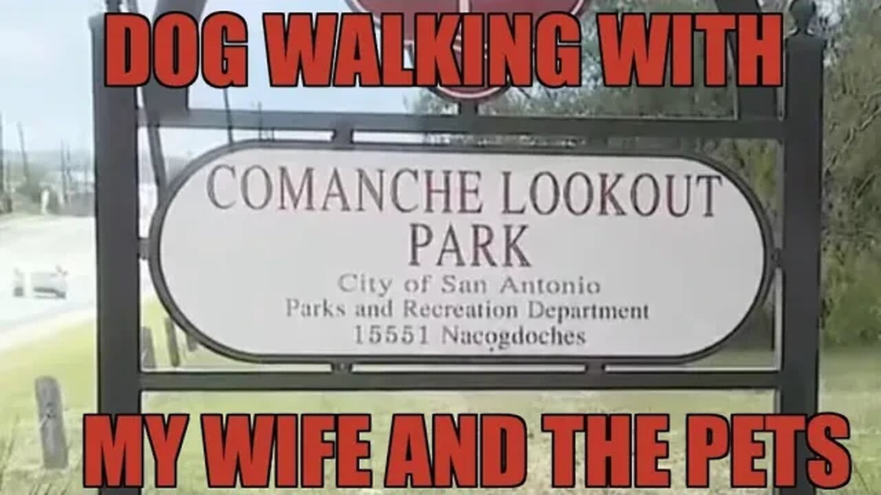
Trip to Comanche Hill with the wife and dogs #trending
“Just having that building there is so iconic, (along with) the fact that people knowing it was an Indian settlement,” said Sandy Jenkins, parks project manager for the Parks and Recreation Department. “And I think just every bit about the walking trails. And now there’s a great library and a playground. (There are) just really great things in that park.”
Located on the Northeast Side just inside Loop 1604, the park is home to Comanche Hill, the fourth-highest point in Bexar County, with an elevation of 1,340 feet. (The highest is Mount Smith at 1,892 feet in Northwest Bexar County.)
As a park site marker notes, Comanche Hill lies at the southeastern edge of the Edwards Plateau and makes up the western edge of the Blackland Prairie. Around 4½ miles of paved and natural trails wind and intertwine through countless live oak trees, along with cedar, mountain laurel and mesquite, with the occasional bench to take in the scenery.
According to Parks and Recreation, American Indians used the hill as a vantage point for warfare and hunting, with the Apache and later the Comanche Indians especially dominating the area, hence the name Comanche.
Paul B. Barwick used to work with the department and put together a history of the site. He traced the area’s use back to 9200 B.C. when aboriginal hunters and gathers likely used the hill to scout for mammoth and bison watering along the nearby Cibolo Creek, and generation after generation of prehistoric man quarried the region’s abundance of flint to craft arrow points and tools.
According to Barwick, various fossils had been found along the creekbed banks, with artifacts such as undecorated ceramics and small arrow points discovered in the region along Cibolo Creek.
“I haven’t heard of any in recent times,” Jenkins said. “People do look.”
Another major marker of Comanche Lookout’s more distant past — its place on a historic trail used by Spanish explorers and missionaries more than 300 years ago.
Comanche Lookout lies near part of the El Camino Real de los Tejas National Historic Trail, the U.S. corridor of the Spanish colonial “royal road” that runs 2,580 miles across Texas from Mexico City to northwest Louisiana.
According to Barwick, the Spanish laid claim to this east-west artery of commerce in Texas in the late 1600s, lining the route with numerous missions, including the Alamo, to monitor French movement westward from what’s now Louisiana into the current Lone Star State.
The Comanche were the most notable of the American Indians to inhabit the area in and around the hill, Barwick noted, where they would “silently lie in wait for unsuspecting travelers, supply trains and soldiers, then quickly swoop down, stealing ammo, supplies, horses and mercilessly killing men, women and children.”
But by the mid-1800s, the hill became a lookout post against the Comanche. An 1848 deed showed the hill and its surrounding property belonged to Mirabeau Lamar, the second president of the Republic of Texas.
Comanche Lookout would later pass from Lamar’s daughter Loretta Caldwell to German immigrant farmer Gustav Reeh in the 1890s. Reeh sold the area that included Comanche Lookout to its most colorful owner, retired Army Colonel Edward R. Coppock.
A veteran of the Spanish-American War and World War I with more than 40 years of service, Coppock took over Comanche Lookout in 1923. The parks department describes him as a romantic and a history aficionado, whose time in Europe may well have inspired him to try transforming the hilltop into a courtly compound straight out of the Middle Ages — only also with an aesthetic twist that truly reflected his love of the land.
The department noted Coppock began crafting his personal Camelot with the help of his two sons and a man named Tarquino Cavazos. The site included a windmill, a barn and storage sheds, a stone Indian council ring, a three-car garage with attached servants quarters, and the stone tower, which was completed in 1928.
The Comanche Lookout tower was designed to store grain and hay — though, according to Barwick, Coppock’s daughter said the tower’s roof also made the perfect launchpad for Fourth of July fireworks and kids’ pretend battles.
Coppock planned a U-shaped castlelike residence but only got as far as a foundation because of concrete rationing during World War II and his declining health. Both he and Cavazos died in 1948, and the grand project died with them.
Two singular fixtures did come and go from Coppock’s creative vision: a pair of giant 400-pound Indian head sculptures, created by none other than Gutzon Borglum, the sculptor behind Mount Rushmore National Memorial.
-
 LIVE
LIVE
Benny Johnson
1 hour ago🚨CIA Whistleblower SPEAKS! Tulsi Gabbard Joins LIVE to Expose New Obama-Gate BOMBSHELL: 'Burn Bags'
8,695 watching -
 LIVE
LIVE
LFA TV
13 hours agoLFA TV ALL DAY STREAM - THURSDAY 7/31/25
4,633 watching -
 LIVE
LIVE
The Big Mig™
3 hours agoFBI Burn Bags, Hidden SCIF’s & Truth About Mar-A-Lago Raid
5,185 watching -
 1:50:11
Dear America
3 hours agoFBI Discovers THOUSANDS Russia Hoax Docs In “Burn Bags”!! + Pelosi EXPOSED For Insider Trading!!
85.3K75 -
 1:27:12
Tucker Carlson
2 hours agoTony Aguilar Details the War Crimes He’s Witnessing in Gaza
45.6K96 -
 LIVE
LIVE
Badlands Media
5 hours agoBadlands Daily: July 31, 2025
4,243 watching -

Matt Kohrs
12 hours agoHUGE Earnings Beat, Inflation Data & New Record Highs || Live Trading Options & Futures
13.5K2 -
 19:44
19:44
Bearing
3 hours agoWorld’s CRAZIEST Feminist Wants AMERICANS to WAKE THE F*** UP 🦅💥
6.26K33 -
 47:09
47:09
Randi Hipper
1 hour agoUNITED STATES BITCOIN RESERVE IS COMING! WHITE HOUSE CRYPTO REPORT EXPLAINED
5.51K -
 LIVE
LIVE
Wendy Bell Radio
7 hours agoBurn Baby Burn
7,563 watching