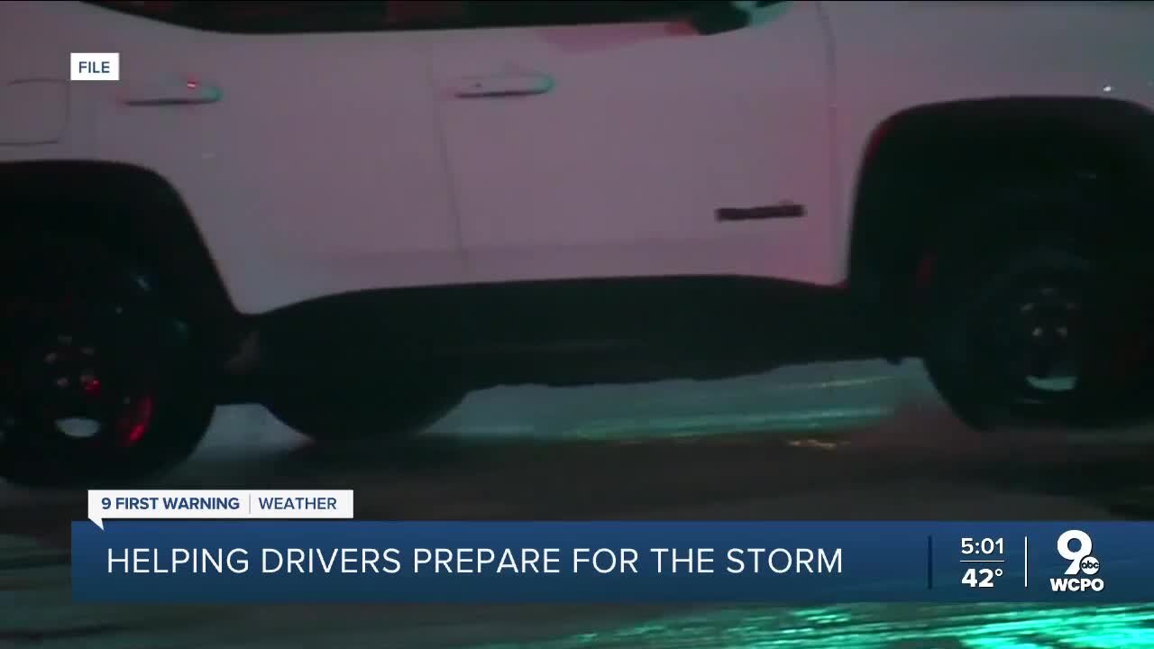
Helping drivers prepare for winter storms
that means Between 6 p.m. and midnight, rain will quickly turn to snowfall and accumulate quickly as temperatures fall fast. This will lead to snow covered roads and the start of our travel issues. 2-4" of snow should accumulate overnight. Wind chills could reach -30 in some spots. Check here for even more updates: https://www.wcpo.com/weather Snow plow sleet ice By: Jennifer Ketchmark , PJ O'KeefePosted at 12:02 PM, Dec 21, 2022 and last updated 1:56 PM, Dec 21, 2022 CINCINNATI — As part of what some are calling winter storm Elliot, the Tri-State will likely experience a "flash freeze" Thursday night into early Friday morning. A flash freeze occurs when temperatures rapidly drop below freezing behind a cold front. Wet roads from rain falling in the area will freeze, causing driving hazards. Here's how this sets up for us in the Tri-State: Rain will begin falling Thursday between 6 p.m. and midnight, just before a cold front comes through and plummets temperatures possibly as much as 40 degrees from 42 to 2. That much of a temperature drop would go down as one of the biggest drops in temps in recorded Tri-State history in that short of a period of time. On top of that, intense snowfall very early Friday morning could drop anywhere from 1-4 inches in parts of the Tri-State, adding a slick layer of snow on top of ice.
-
 2:52
2:52
WCPO
1 year agoLakota community working together amid ongoing bus strike
364 -
 LIVE
LIVE
The Bubba Army
2 days agoTrump OBLITERATES Iran: What's Next? - Bubba the Love Sponge® Show | 6/23/25
4,473 watching -
 20:58
20:58
GritsGG
17 hours agoFrying a Casual Solos Lobby! Pushing for 50 Kills!
24.5K7 -
 LIVE
LIVE
BEK TV
1 hour agoTrent Loos in the Morning 6/23/2025
740 watching -
 2:16:18
Side Scrollers Podcast
2 days agoCONTENT NUKE GOES LEGAL, AI To REMAKE Classic Movies, Walter Day Interview | Side Scrollers Live
79.7K15 -
 LIVE
LIVE
Lofi Girl
2 years agolofi hip hop radio 📚 - beats to relax/study to
412 watching -
 49:01
49:01
Anthony Pompliano
2 days ago $7.52 earnedBitcoiners Built Tether Into The Most Profitable Company Ever
50.3K8 -
 1:49:44
Russell Brand
4 days agoTerrence Howard’s SHOCKING New Theory of Reality - SF599
248K75 -
 6:36:43
DopeFrags
8 hours agoWe're just gamin'.. | Dope After Dark
20.8K1 -
 LIVE
LIVE
EleMentalMJ
6 hours agoSUNDAY FUNDAY! - Variety Gaming Stream
144 watching