About 25% of oceans have been mapped till date: SEABED 2030
Nearly a quarter of the Earth’s ocean floor has now been mapped, bringing global leaders and scientists closer to having a definite map of the planet’s largest ecosystem. Seabed 2030, an alliance between Japan’s Nippon Foundation and the General Bathymetric Chart of the Oceans (GEBCO), announced at the recent UN Ocean Conference that it has covered 23.4 per cent of the ocean floor on a bathymetric grid at a relatively high resolution.
Bathymetric grids are a measure of the depth of water bodies. Seabed 2030 said it has added 10 million square kilometres–roughly the size of Europe–to its grid in the last year. It did this through a collaborative ‘map the gap’ strategy.
How is ocean mapping done?
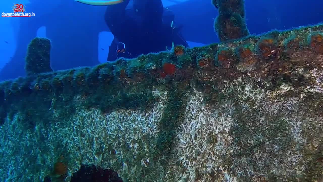
Ocean mapping is usually done using SONAR equipment attached to ships traversing the world’s oceans. Satellites, which are typically used for land mapping, can also be used for ocean floor mapping. But satellites use radar and light which gets weak in water. Hence, using satellites for ocean mapping becomes difficult.
Seabed 2030 is now encouraging other ships, big or small, venturing into the oceans to turn on their sonar systems and share the data they collect. This will help save time and costs, and expedite the mapping process.
Why is ocean mapping crucial?
Ocean mapping can help clarify deep-sea processes and how they are impacted by different phenomena. More than 70% of the earth’s surface is covered with oceans, but we have very little information about the sea-bed and its topography.
Mapping helps here, by indicating the movement of ocean currents, debris and water pollution. Scientists would also be able to understand the rate at which the ice sheets in Antarctica or Greenland are melting due to the warming climate. Apart from this, the mapping will also help in better knowledge about the habitats of marine organisms and understanding fisheries management.
-
 2:29:36
Laura Loomer
7 hours agoEP136: YOU'RE FIRED! White House Vetting Crisis Continues
52.4K33 -
 8:07
8:07
MattMorseTV
7 hours ago $5.51 earnedTrump just LOWERED PRICES by 75 PERCENT.
31.4K32 -
 LIVE
LIVE
Misfit Electronic Gaming
10 hours ago $3.68 earned"LIVE" "Blind Descent' +"Dollhouse of Dead" Playtest 10 Followers till we hit 1000! We CAN do this!
514 watching -
 21:53
21:53
Glenn Greenwald
9 hours agoMichael Tracey on the Street: What Do People Think of the Epstein Case?
124K57 -
 2:26:28
megimu32
6 hours agoOTS: Board Games Gone Wild! The Loud, Weird & Chaotic Games That Raised Us
33.7K9 -
 4:25:16
DamnDanieI
7 hours agoKill First, Loot Later – OTG Live
51.9K1 -
 56:41
56:41
Donald Trump Jr.
11 hours agoLies, Leaks, and Lawfare: Censorship Corruption Exposed | TRIGGERED Ep.263
174K159 -
 1:19:46
Precision Rifle Network
8 hours agoS4E25 Guns & Grub - Rex Is Back, I shot the 6.5PRC finally...
30.4K1 -
 5:42:52
rhywyn
6 hours agoうつ
18.5K4 -
 LIVE
LIVE
RyuMuramasa✧
7 hours agoNEW Everdark Sovereign | Elden Ring Nightreign | LIVE Playthrough
26 watching