Thiessen's Polygon in ArcGIS / THIESSEN'S POLYGON AND AREA CALCULATION / Meteorological Stations
Loading comments...
-
 50:45
50:45
Mapmaker
3 years ago $0.17 earnedFinding GIS Data
71 -
 10:31
10:31
ArcGIS Pro Help
3 years agoLabeling Points and Areas in ArcGIS Pro
115 -
 49:21
49:21
Mapmaker
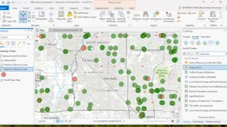
3 years ago $0.16 earnedHow to Understand GIS Data
76 -
 27:21
27:21
ArcGIS Pro Help
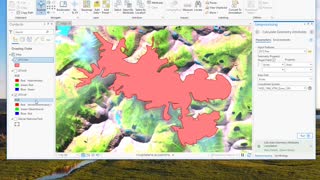
3 years ago $0.02 earnedCreating a Polygon from Imagery
90 -
 2:04
2:04
AutoCAD and BricsCAD add ons for surveyors and engineers
7 months agoRTOPO Hydrology, Simulating rainwater runoff
24 -
 3:50
3:50
ArcGIS Pro Help
3 years agoRaster Calculator
30 -
 11:43
11:43
ArcGIS Pro Help
3 years agoHillshade and derived raster data
8 -
 1:03:32
Mapmaker
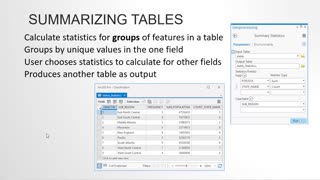
3 years ago $0.24 earnedTools for Vector Analysis in ArcGIS Pro
121 -
 1:07:21
Mapmaker
3 years ago $0.21 earnedCreating and Modifying Data in ArcGIS
157 -
 16:56
16:56
ArcGIS Pro Help
3 years ago $0.01 earnedCreating a Map Layout
33