Premium Only Content
This video is only available to Rumble Premium subscribers. Subscribe to
enjoy exclusive content and ad-free viewing.

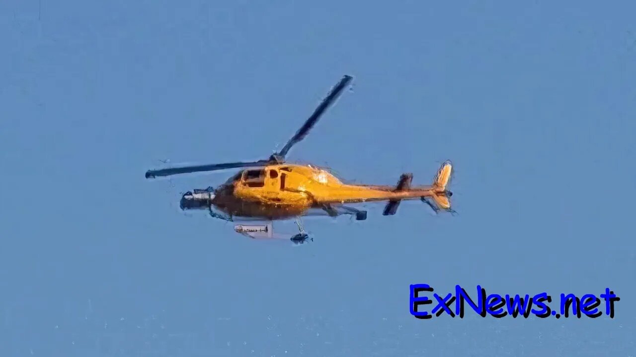
Helicopter flying low over Vernon area doing gas line inspections
2 years ago
19
A yellow Helicopter was flying low over the Vernon Coldstream area early Sunday.
This is a Talon helicopter doing high-resolution LIDAR mapping of Fortis Gas Line routes.
A special permit was granted by Transport Canada for such an operation last summer.
LIDAR stands for Light Detection And Ranging
Once processed a LIDAR image can strip away trees and grass showing only the terrain.
https://www.neonscience.org/resources/learning-hub/tutorials/lidar-basics
Loading comments...
-
 LIVE
LIVE
TimcastIRL
1 hour agoCorporate Press Refuses To Mention Minneapolis Shooter Was Trans | Timcast IRL
24,579 watching -
 LIVE
LIVE
Barry Cunningham
13 minutes agoIT'S MOVIE NIGHT WITH BARRY!
2,420 watching -
 LIVE
LIVE
Akademiks
55 minutes agoWar in RAT-LANTA. Young Thug vs Gunna vs Ralo vs YSL MONDO. Who Will Le Bebe Pick. FINAL CRASHOUT!
1,727 watching -
 59:29
59:29
The Charlie Kirk Show
1 hour agoTHOUGHTCRIME Ep. 96 — The Great Flag Burning Debate
5.47K6 -
 LIVE
LIVE
The Mel K Show
1 hour agoMel K & General Mike Flynn | Betrayal of a Nation: Soros’ NATO World Order | 8-28-25
1,119 watching -
 1:32
1:32
Gaming on Rumble
8 hours agoWhat is the Rumble Creator Program?!?! | Lvl UP
903 -
 LIVE
LIVE
Joker Effect
19 minutes agoInterviewing BEN JAMMINS! A personality with over 1 BILLION gif views. Let's give him a warm welcome
386 watching -
 11:37
11:37
Robbi On The Record
6 hours agoThe Devil is in the Branding..
604 -
 LIVE
LIVE
Savanah Hernandez
2 hours agoWhy Gen-Z Is So Radicalized Against Immigration
228 watching -
 LIVE
LIVE
megimu32
1 hour agoOTS: From A-List to MIA! 90s & 2000s Stars Who Vanished
123 watching